Rwenzori Mountains National Park
Snow on the equator should not exist, but the Rwenzori Mountains have never followed the rules. Rising to 5,109 metres at Margherita Peak on Mount Stanley, this is the highest mountain range in Africa -- a distinction that surprises people who think of Kilimanjaro or Kenya. Those are volcanoes, solitary cones thrust up from the plains. The Rwenzoris are something different: a 120-kilometre block of ancient rock pushed skyward by tectonic forces along the western branch of the Great Rift Valley. The range is 48 kilometres wide, covers nearly 100,000 hectares, and contains six of the ten highest peaks on the continent. It also contains glaciers that are disappearing at a speed visible within a single human lifetime -- from 7.5 square kilometres in 1906 to less than 1.5 by 2005. The ancient Greeks called them the Mountains of the Moon. The ice that gave them that name may not survive the century.
The Vertical Garden
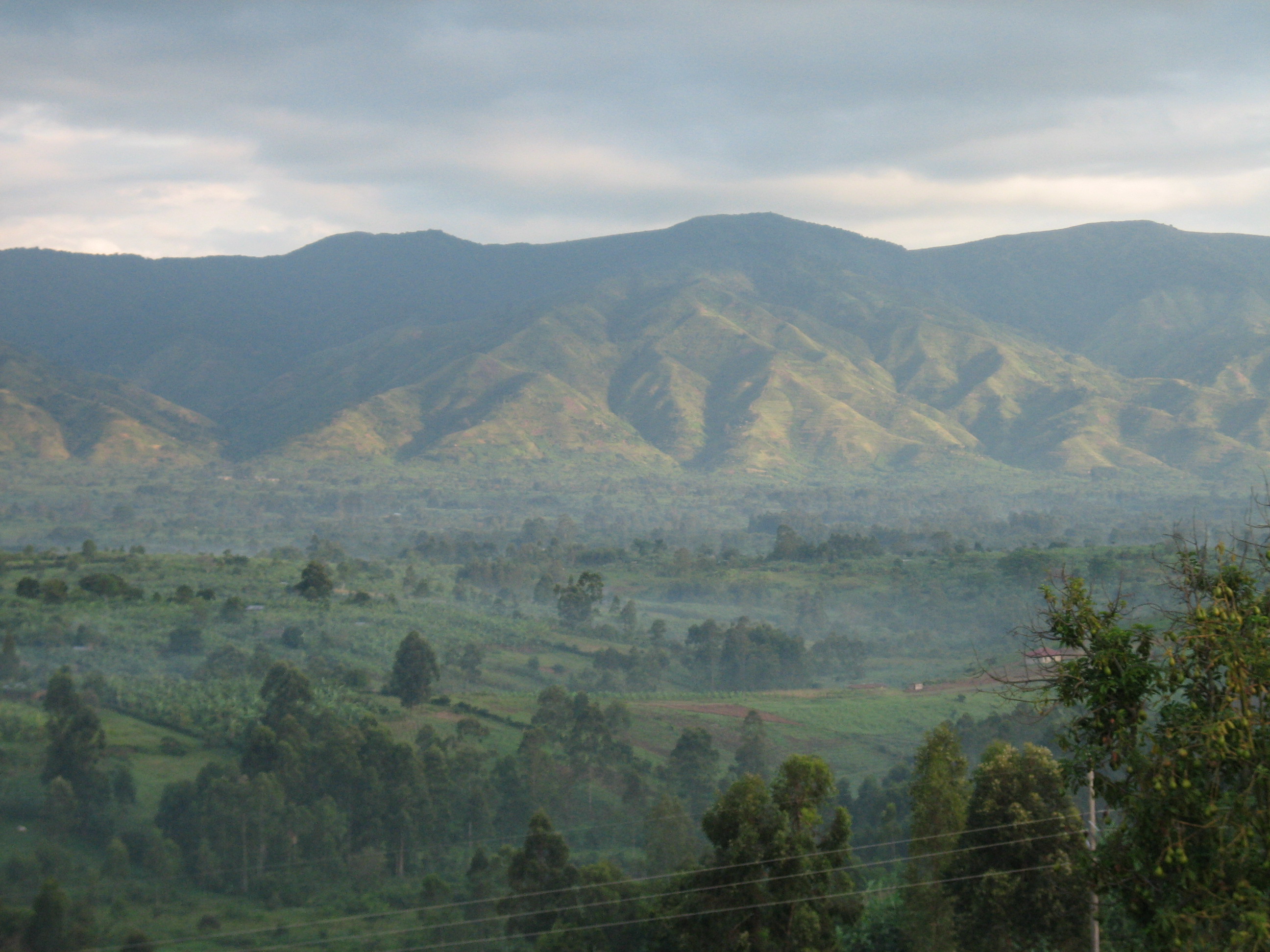
The Rwenzoris are layered like a vertical garden designed by someone with an extravagant imagination. Below 2,100 metres, the foothills are cultivated -- bananas, potatoes, coffee -- and the Sunday market at Kilembe sells local beans to anyone who cares to grind their own. Between 2,100 and 3,000 metres, dense forest takes over: heavy undergrowth, bamboo thickets, and trees that rarely exceed thirty metres, with chimpanzees and monkeys hidden in the canopy for those lucky enough to spot them. From 3,000 to 3,800 metres, the forest transforms. Trees drip with hanging moss, and the light takes on a greenish, underwater quality. Then, above 3,800 metres, the alpine zone begins -- and the landscape becomes genuinely otherworldly. Giant heather trees, everlasting flowers, giant lobelias taller than a person, and the bizarre giant groundsel, a plant that looks like it belongs on another planet, dominate the terrain. Snow cover begins around 4,900 metres. UNESCO calls it one of Africa's most beautiful alpine areas, which is accurate but insufficient.
Rubber Boots and Relentless Mud
Every account of trekking the Rwenzoris mentions the mud. Around a third of the trail -- at least twenty kilometres -- is thick, deep, sometimes liquid muck. Nearly all guides and most trekkers wear rubber boots for the majority of the hike, switching to hiking boots only for the rainforest sections and the summit approach. The weather reinforces the challenge: rain falls in every season, and the range's equatorial position means weather changes can arrive in minutes. The recommended strategy is to avoid the rainy seasons entirely -- March through June and September through October -- though "dry season" in the Rwenzoris is a relative term. The early sections are hot and humid. After Mutinda Camp, the temperature drops sharply, and from Bugata Camp onward, the stoves in the huts are as likely to smoke you out as to warm you. One group of eleven trekkers ended up split across four different camps when members could not keep pace. The Rwenzoris are, by reputation, harder than they look on paper.
Two Routes, One Summit
Two operators hold a duopoly on Rwenzori trekking. Rwenzori Trekking Services, established by an Australian in the 1990s, runs the southern circuit out of Kyanjuki near Kilembe, with eight camps and generally stronger reviews for crew training, food, and camp conditions. Rwenzori Mountain Services, the original locally owned operator, runs the Central Circuit Trail through the middle of the park from Nyakalengija. RMS claims the shorter route to Margherita Peak, but the faster ascent allows less time for acclimatization. The summit requires entry-level mountaineering: crampons, ice axe, harness, and crossing two glaciers on fixed and temporary ropes. For those who want the mountains without the summit commitment, Rwenzori Community Walks out of Kilembe offers one- and two-day treks at a fraction of the cost, with profits funding community development projects. The park permit runs thirty-four US dollars per person per day, and a seven-day summit trek costs at least fifteen hundred dollars.
Porters and the Weight of Distance
Everything in the Rwenzoris is carried by human beings. The terrain is too difficult for pack animals. A typical ratio is six porters per trekker, each carrying fifty-litre plastic drums weighing twenty-two to twenty-five kilograms. As food is consumed and the load lightens, porters peel off and head back down. Clients have a personal porter who carries up to fifteen kilograms of their gear. The system is essential -- without it, no one would reach the upper camps. Meals on the RTS circuit are substantial: porridge and omelettes for breakfast, packed lunches with potato salad and fruit, afternoon tea with biscuits, and dinners of soup followed by pasta or rice with vegetables. Water is boiled from camp streams, safe to drink but slow to cool and stained an unappealing color by tannins at some camps. The crew often drinks straight from the streams, unbothered.
Fewer Than a Thousand
The Rwenzoris draw fewer than a thousand visitors a year. Kilimanjaro draws fifty thousand. Mount Kenya draws twenty-five thousand. The disparity reflects the Rwenzoris' history as much as their difficulty: political instability kept the park off-limits for long periods, and Uganda's tourism infrastructure is still catching up. For those who do come, the solitude is the point. Camp allocation works on a first-come, first-served basis, but you are likely to have a hut to yourself. Solar-powered lights illuminate the paths at night. The bunk rooms are simple -- mattresses, sometimes a stove, sometimes solar lighting inside. From the upper camps, the views stretch across to the Democratic Republic of the Congo. The glaciers that remain are visible above, shrinking but still present, still catching the equatorial light in ways that make the name Mountains of the Moon feel like description rather than mythology.
From the Air
Located at 0.40N, 29.95E in western Uganda, straddling the equator on the border with the Democratic Republic of the Congo. The range is 120 km long and 48 km wide, rising to 5,109 m at Margherita Peak on Mount Stanley -- the third highest point in Africa. From altitude, the Rwenzoris are a massive block of mountains with visible glaciers and snow on the highest peaks, standing apart from the surrounding lowlands. Kasese is the nearest town, with Kasese Airport handling charter flights. The nearest major airport is Entebbe International Airport (ENBB), approximately 350 km to the east. Lake Edward lies to the south and Lake Albert to the north, both visible from altitude.