Saaremaa
Around the year 1000, an Icelandic warrior named Gunnar Hamundarson joined a Viking raid on an island the Norse called Eysysla. There he killed a man named Hallgrimur and took his famous atgeir, a bladed polearm that would become legendary in the Icelandic sagas. The island Gunnar raided was Saaremaa, and the people he fought were not victims but fellow pirates, the Eastern Vikings whose fleets terrorized Denmark and Sweden from this Baltic stronghold. A thousand years later, Saaremaa remains a place apart, the largest island in Estonia and one of the most isolated inhabited places in northern Europe, where meteorite craters dot the landscape and medieval churches stand in silent testimony to the crusaders who finally conquered it.
When Fire Fell from the Sky
The Kaali meteorite struck Saaremaa sometime between 4000 BCE and 660 BCE, estimates varying by millennia. What is certain is the violence of the impact. The meteor broke apart at altitude, and the largest fragment slammed into the earth with the force of twenty kilotons of TNT, comparable to the Hiroshima bomb. Forests burned within a radius of miles. The main crater measures over 100 meters across and still holds a lake. Eight smaller craters pockmark the surrounding terrain. Former Estonian President Lennart Meri collected the legends that grew around this cosmic catastrophe in his book Hobevalge, stories that suggest the impact may have occurred within human memory. The people of Saaremaa have always lived in the shadow of fire from the sky.
Pirates and Crusaders
Saaremaa's pirates earned a fearsome reputation across the medieval Baltic. The Chronicle of Henry of Livonia describes fleets of sixteen ships and five hundred warriors from the island ravaging what is now southern Sweden. In 1170, the Danish king Valdemar I mobilized his entire fleet to stop the raiders. The most famous attack came in 1187, when Saaremaa's warriors helped sack Sigtuna, then Sweden's most important town, killing the archbishop Johannes. But in 1227, the Livonian Brothers of the Sword conquered the island during the Northern Crusades. The locals rebelled when the Order was defeated at the Battle of Saule in 1236, but Christianity eventually took root. Medieval churches still stand in Kaarma, Karja, Kihelkonna, and four other parishes, their stone walls a permanent reminder of the faith imposed by sword.
The Closed Island
In 1946, Soviet military authorities declared Saaremaa a restricted zone. For the next forty-three years, mainland Estonians needed special permits to visit, and foreigners were banned entirely. The island became a military secret, its strategic position at the mouth of the Gulf of Riga too important to allow civilian access. During World War II, Soviet Naval Aviation had launched bombing raids on Berlin from Saaremaa, and the Soviets were not about to let such a valuable asset become accessible to Western eyes. The restrictions lasted until 1989, just two years before Estonia regained independence. An entire generation of Estonians grew up unable to visit their country's largest island.
Nature's Ark
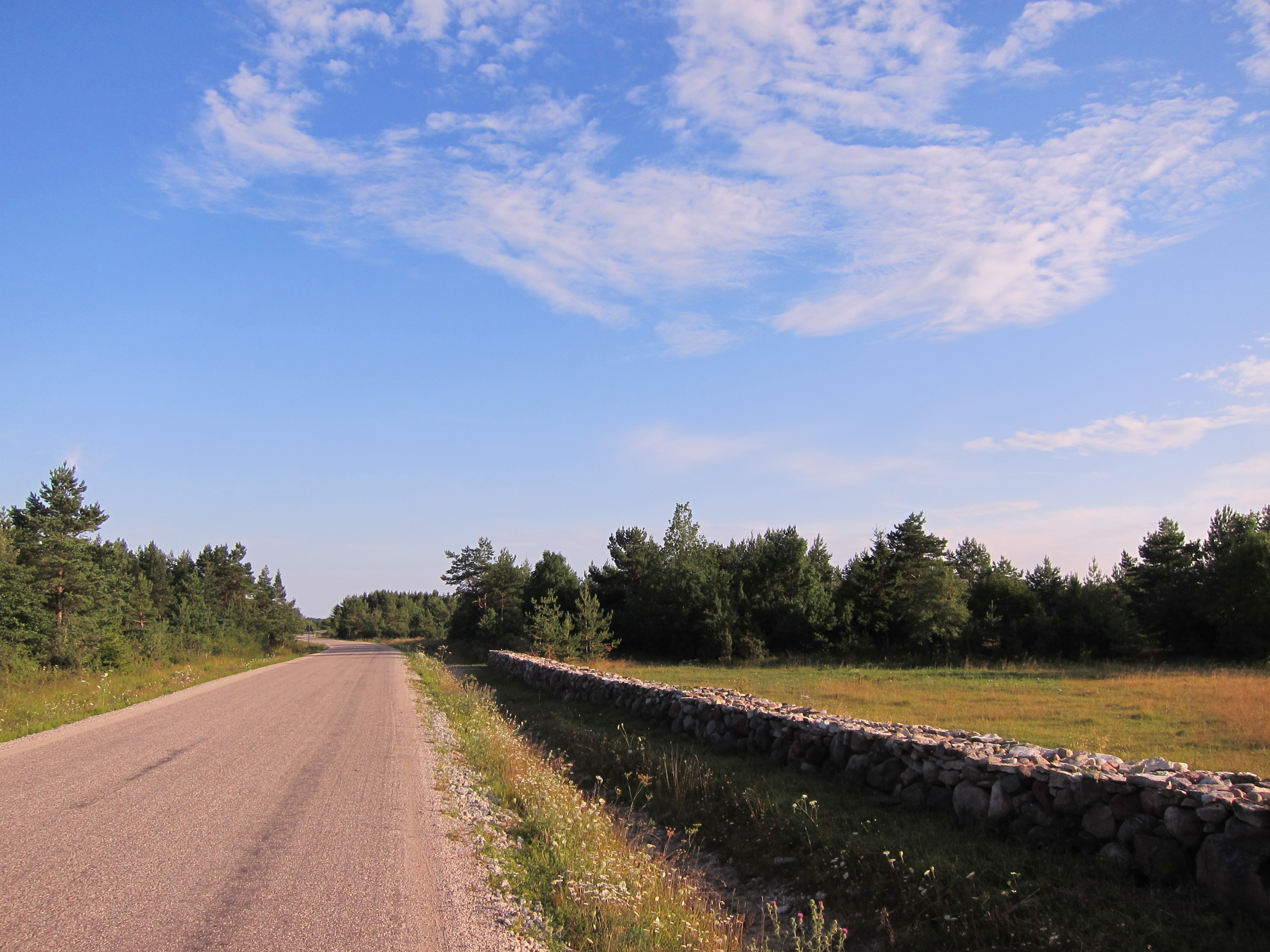
Saaremaa emerged from the Baltic Ice Lake more than 10,000 years ago, and the land continues rising today at a rate of several millimeters per year as the earth rebounds from the weight of glaciers long melted. This geological youth has created a remarkable diversity of habitats. Eighty percent of all plant species found in Estonia grow on Saaremaa, including the rare Rhinanthus osiliensis found almost nowhere else. Gray seals gather on islets off the western and southern coasts. Hundreds of thousands of migratory birds pass through each spring and autumn along the East Atlantic Flyway. Over forty percent of the island remains forested, and the iconic juniper has become the symbol of Saaremaa. The alvars, limestone plains covered with thin soil and stunted vegetation, once defined the landscape but are now in decline.
Island Identity
Saaremaa has produced an outsized share of remarkable Estonians. Fabian Gottlieb von Bellingshausen, born here in 1778, led the second expedition to cross the Antarctic Circle. Louis Isadore Kahn, one of the most influential architects of the twentieth century, was born on the island in 1901. Arnold Ruutel, president of Estonia from 2001 to 2006, and rally driver Ott Tanak both call Saaremaa home. The island maintains its own football team, FC Kuressaare, and has competed in the Island Games since 1991, winning over 350 medals. The annual Saaremaa Rally draws thousands of fans each October, continuing a tradition that began as an amateur competition in 1974. Despite centuries of conquest and closure, Saaremaa has retained a distinct identity that sets it apart from the Estonian mainland.
From the Air
Saaremaa lies at 58.42N, 22.5E in the Baltic Sea, forming the main barrier between the Gulf of Riga and the open Baltic. The island measures roughly 2,673 square kilometers with a maximum elevation of just 54 meters. Approach from the east over Muhu island and the Vainatamm causeway, or from the southwest along the Sorve Peninsula. Kuressaare Airport (EEKE) handles regular flights to Tallinn. The Irbe Strait to the south provides the main passage out of the Gulf of Riga. The island's flat terrain makes it easy to identify from altitude, with the town of Kuressaare and its medieval castle visible on the southern coast.