Saguaro National Park
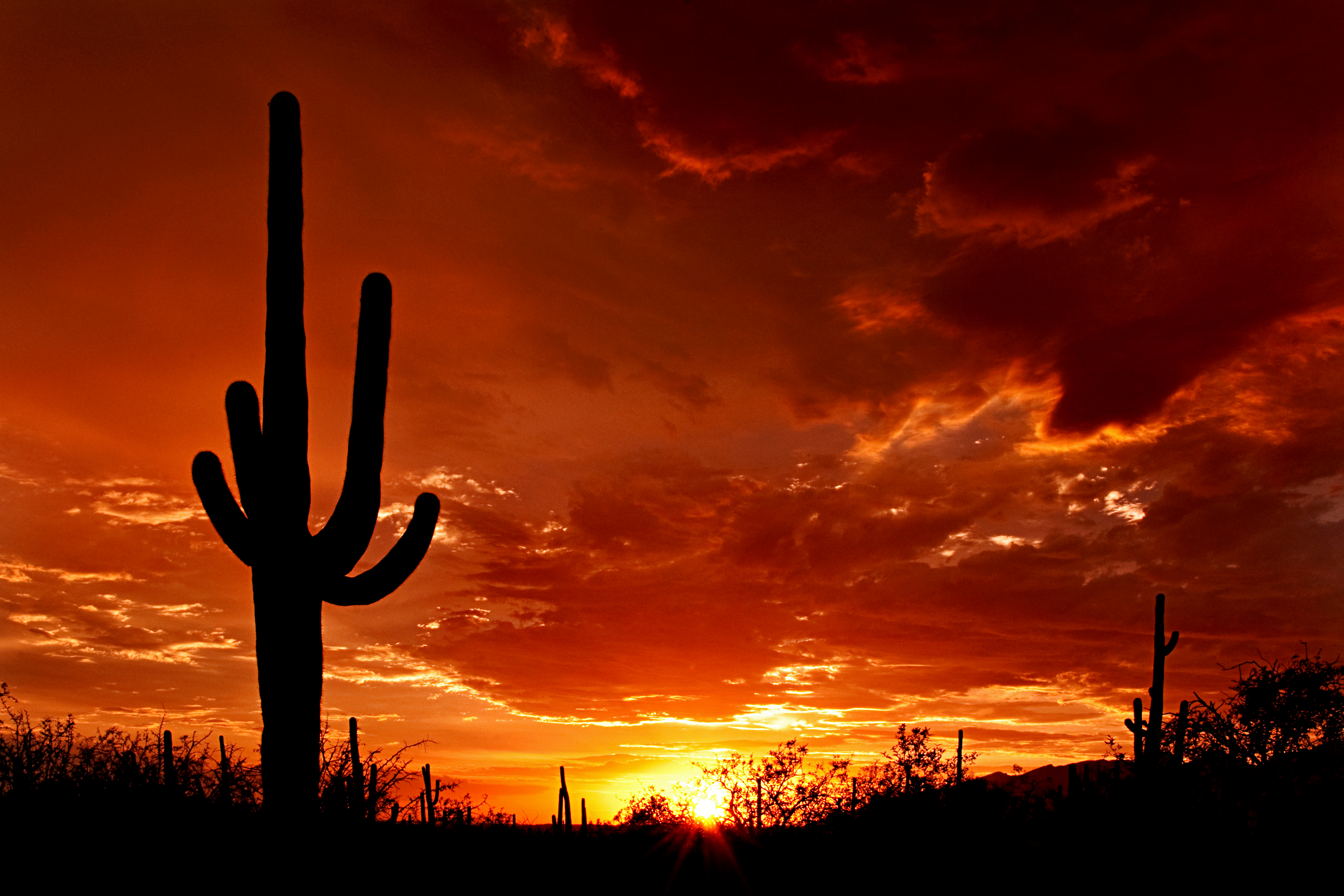
The saguaro takes 50 to 70 years to grow its first arm. By then, most humans have lived half their lives, built careers, raised children. Yet these patient giants stand watch over the Sonoran Desert for up to 200 years, their arms reaching skyward like supplicants to a merciless sun. Saguaro National Park exists because early filmmakers fell in love with their silhouettes. The distinctive cacti appeared in so many silent-movie westerns that by 1920, the Natural History Society at the University of Arizona began pushing to protect them, recognizing that this quintessentially American image needed safeguarding.
Two Parks in One
The park exists as two separate districts flanking Tucson like botanical bookends. The Tucson Mountain District to the west features lower, drier terrain with volcanic rocks dating back 70 million years to when explosive eruptions formed the Tucson Mountains and created a caldera. The Rincon Mountain District to the east climbs much higher and wetter, with rocks that traveled here from beneath the Tucson Mountains over 30 million years ago as the Earth's crust stretched and faulted. The Rincons qualify as one of the Madrean Sky Islands, mountain archipelagos that stretch between the southern Rockies and Mexico's Sierra Madre, supporting species found nowhere else nearby. President Herbert Hoover created the original monument in 1933; President Kennedy added the western district in 1961; Congress combined them into a national park in 1994.
Living Monuments
A mature saguaro can grow over 40 feet tall and weigh several tons when fully hydrated. The park hosts 25 species of cactus overall, from fishhook barrels to teddybear chollas notorious for their ability to detach segments onto passing hikers. Scientists and volunteers have identified 389 species of vascular plants, 25 non-vascular plants, and 197 fungi species within park boundaries. The Hohokam people who lived here from around 300 to 1450 AD gathered cholla buds, prickly pears, palo verde pods, and saguaro fruit, supplementing crops of corn, beans, and squash. The Sobaipuri and Tohono O'odham who followed may be their descendants, though archaeologists remain uncertain.
Desert Survivors
Thirty species of mammals roam the park, including cougars, javelinas, white-nosed coatis, and the endangered lesser long-nosed bat that splits its year between Arizona and Mexico. The vermilion flycatcher and whiskered screech owl number among 107 bird species rarely seen elsewhere in the United States. But the desert's greatest threat comes from an invader: buffelgrass. Imported from Africa and Asia in the 1930s for cattle forage, this drought-tolerant plant was first detected in the park in 1989 and has spread relentlessly since. It fills the gaps between native plants, creating continuous fuel for wildfires in an ecosystem that evolved without frequent fire. Park managers consider it impossible to eliminate, only to manage.
The Human Footprint
Mining scarred these mountains before protection came. The Copper King Mine, later renamed the Mile Wide Mine, extracted 34,000 tons of copper, gold, lead, zinc, and molybdenum ores, mostly during the world wars of 1917, 1918, and 1941, before closing permanently in 1942. The Freeman Homestead, established in 1929 along a nature trail in the Rincon district, now sits on the National Register of Historic Places. The Civilian Conservation Corps built ramadas, picnic tables, and restrooms in the Tucson Mountain District between 1933 and 1941, using quarried stone designed to blend with the desert. Today, about 50,000 vertebrates die annually on park roads, making roadkill the most serious immediate threat to wildlife.
Under a Changing Sky
Climate data tells a stark story: the park's annual mean temperature rose about 4 degrees Fahrenheit between 1900 and 2010. The Sonoran Desert's brief violent summer monsoons still arrive with lightning, dust storms, and flash floods, but their patterns grow less predictable. Snow sometimes falls at the highest Rincon elevations in winter, feeding streams that sustain lowland life through the dry months. Over 100 miles of hiking trails wind through the park, where perils include extreme heat, dehydration, cactus spines, and Africanized bees alongside the expected snakes and cougars. The Arizona-Sonora Desert Museum, just south of the western district, combines a botanical garden, zoo, and natural history museum celebrating this landscape's resilience.
From the Air
Located at 32.179N, 110.737W, the park's two districts flank Tucson. The Tucson Mountain District lies west of the city; the Rincon Mountain District rises to the east. Tucson International Airport (KTUS) sits between them, roughly 15 miles from each visitor center. The Rincons reach nearly 9,000 feet, while the Tucson Mountains stay below 5,000 feet. Morning flights offer the best visibility for spotting saguaro forests covering the bajadas. Davis-Monthan Air Force Base (KDMA) lies between downtown Tucson and the Rincon district. The Santa Catalina Mountains rise prominently north of the city.