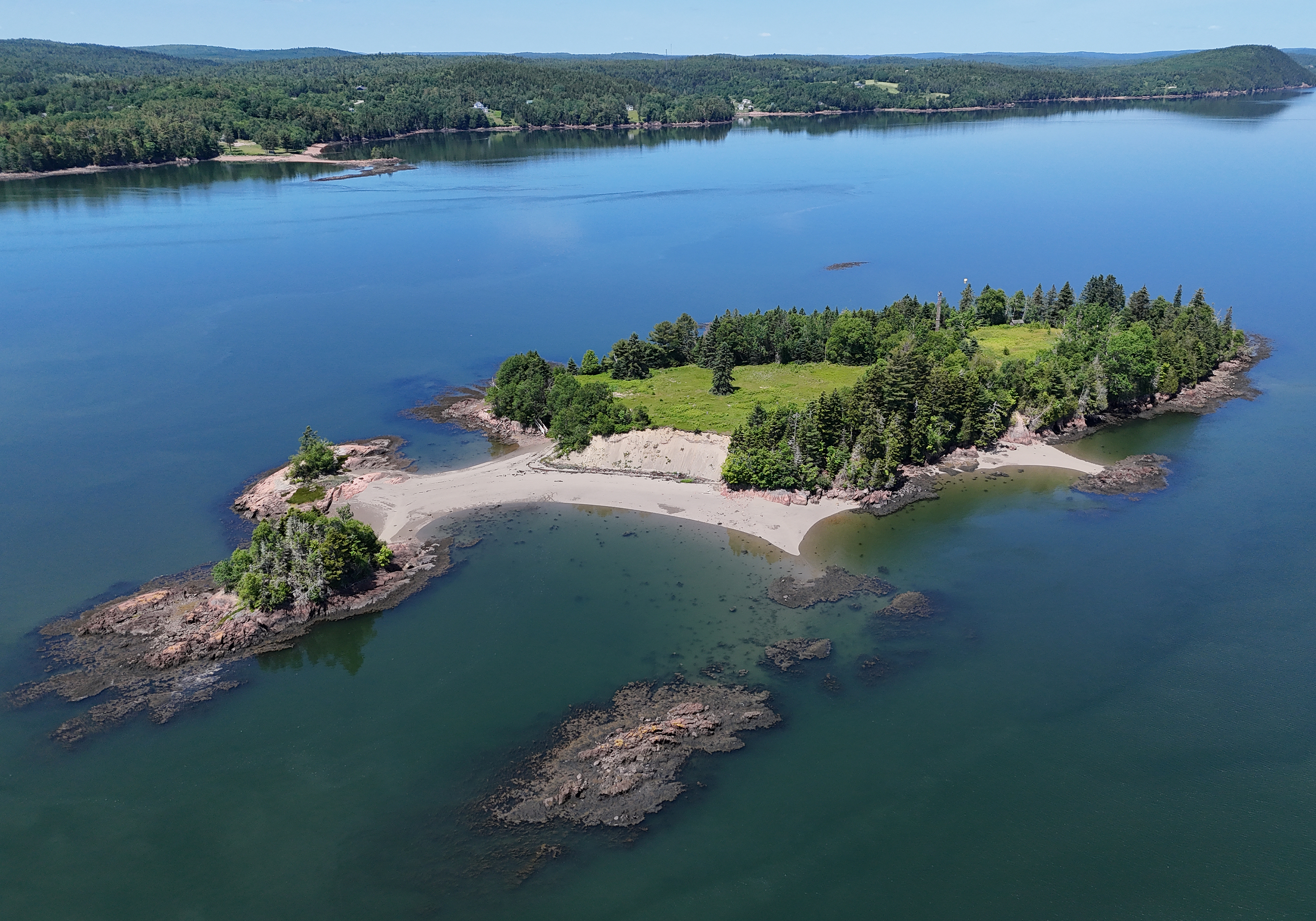
Saint Croix Island
By the eighteenth century, locals had started calling it Bone Island. Erosion along the banks of this 6.5-acre speck in the St. Croix River had begun exposing graves -- the remains of Frenchmen who had died here during the winter of 1604-1605, their bones surfacing like a rebuke to the ambitions that had brought them across the Atlantic. Saint Croix Island sits near the mouth of the river that now forms the border between Maine and New Brunswick, a place the Passamaquoddy people knew as Muttoneguis and had used for centuries to store food safely away from mainland animals. In June 1604, the French nobleman Pierre Dugua, Sieur de Mons, chose this island as the site for a colony in the territory France called l'Acadie. Samuel de Champlain sailed with the expedition and mapped every detail. What followed was a winter so devastating that it reshaped the entire trajectory of French colonization in North America.
The Worst Winter in New France
Dugua's expedition arrived in the summer of 1604 with 79 men, authorized by King Henry IV of France to establish a permanent settlement. The island seemed promising -- defensible, accessible by water, positioned at the junction of river and bay. They built houses, a chapel, a storehouse, and gardens. Then winter came. The St. Croix River froze solid. Supply runs from the mainland became impossible. Fresh food ran out. A disease they called "land-sickness" -- almost certainly scurvy -- swept through the settlement. By spring, 35 of the 79 colonists were dead, nearly half the company. The survivors, weakened and demoralized, abandoned the island the following year. Champlain had already scouted a more sheltered location on the southern shore of the Bay of Fundy, a place they would call Port-Royal, which became the first enduring European settlement in New France. Champlain himself left for France in 1607 and never returned to Acadia, though he would go on to found Quebec City in 1608.
Neutral Ground, Contested Border
Saint Croix Island's location made it a pawn in centuries of territorial disputes. During the War of 1812, it served as neutral territory between warring nations, earning the nickname Neutral Island. The more fundamental question -- which country owned it -- was settled in 1797 when a survey determined the island lay on the western side of the river's main channel, placing it under American sovereignty. But the island's significance has always transcended national boundaries. In October 1613, the English captain Samuel Argall burned the old French buildings still standing on the island, part of a campaign against French presence along the coast that also targeted Mount Desert Island and Port-Royal. The destruction erased the physical evidence of settlement but not the historical record, thanks largely to Champlain's meticulous maps and journals.
An International Historic Site
The United States Congress designated Saint Croix Island a National Monument in 1949, and it was listed on the National Register of Historic Places in 1966. In 1984, Congress gave it the distinctive title of International Historic Site -- a designation unique in both the American and Canadian national park systems. The National Park Service manages the island from offices at Acadia National Park, while Parks Canada operates an interpretation site at Bayside, Charlotte County, on the New Brunswick side of the river. Visitors are prohibited from setting foot on the island itself to protect what remains of the archaeological record. Instead, a statue of Champlain and interpretive panels on the American shore tell the story, and a viewing area on the Canadian side offers a perspective across the water. Canada recognized the island's significance as early as 1958 but could not designate a national historic site on foreign soil. In 2004, the two nations jointly commemorated the 400th anniversary of French settlement in North America. Canada issued a nationally circulating quarter to mark the occasion, engraving the island that nearly ended France's North American ambitions onto the coin that celebrates them.
What the Island Remembers
Saint Croix Island is uninhabited today, and deliberately so. The archaeological remains beneath its soil -- foundations, graves, artifacts from the 1604 settlement and from centuries of Passamaquoddy use before that -- are too fragile for foot traffic and too important to risk. The Passamaquoddy Nation had multiple names for the island, including Muttoneguis, Muttoneguamus, Metanegwis, and Metnegwis, each reflecting a long and intimate relationship with this landscape. Their oral tradition describes it as a food cache, a practical use that speaks to deep knowledge of the river and its wildlife. The French settlement lasted barely a year, but it set in motion the chain of events that led to Port-Royal, to Quebec, to the European colonization of an entire continent. From the air, the island looks like nothing much -- a small green oval in a wide river, unremarkable until you know that 35 men are buried there, that Champlain drew it on a map that changed the world, and that two nations now cooperate to protect a place that belongs, in some sense, to neither.
From the Air
Located at 45.13°N, 67.13°W in the St. Croix River near the mouth of Passamaquoddy Bay. The small island (6.5 acres) sits in the river that forms the international border between Maine and New Brunswick. From the air, it appears as a small wooded oval in the river. Interpretive facilities are visible on both the American and Canadian shores. Nearest airports include Eastport Municipal Airport and St. Stephen Airport (CYHP). Best viewed at 1,000-2,000 feet AGL. The river, bay, and surrounding coastline provide excellent visual references.