Sajama Lines
Everyone knows the Nazca Lines. Almost nobody knows their older, larger cousin. Across 22,525 square kilometers of Bolivia's western Altiplano -- an area fifteen times the size of the Nazca geoglyphs -- thousands of perfectly straight paths radiate outward from shrines, burial towers, and small settlements like the threads of an enormous spider's web. The Sajama Lines were etched into the earth over more than three millennia by indigenous peoples living in the shadow of Nevado Sajama, Bolivia's highest peak. Their total linear length stretches roughly 16,000 kilometers, about three times the breadth of the United States. They may constitute the largest artwork ever created.
Scratching Through to the Light
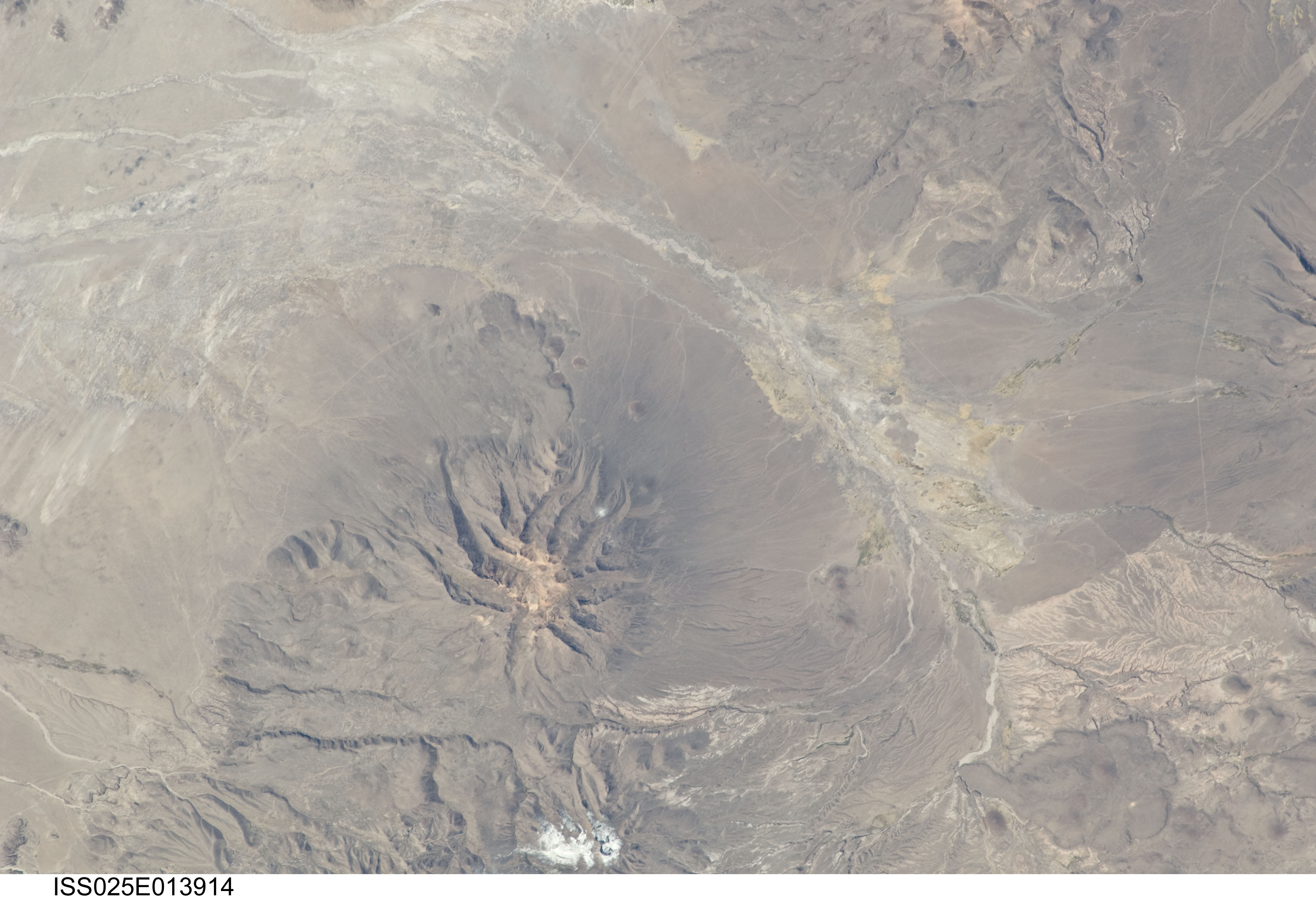
The technique is deceptively simple. The Altiplano's surface is dark -- oxidized rock and soil covered by sparse, tough vegetation. By scraping aside this dark layer, the makers exposed a lighter subsurface material beneath, creating lines that stand out against the landscape like pale ribbons. Unlike the Nazca Lines, which include animal figures and geometric shapes, the Sajama Lines are almost exclusively straight paths. Many extend ten or twenty kilometers without deviation, holding their course across ravines, ridges, and slopes that would seem to make precision impossible. From ground level, the sheer number and length of the lines are difficult to grasp. From the air, they are stunning -- a geometric web draped over the high plateau as far as the eye can see.
Pilgrimage and Sacred Landscape
Where lines converge, sacred structures cluster. Wak'as -- shrines marking places of spiritual power -- sit at many intersections. Chullpas, the burial towers of the Aymara and Chipaya peoples, rise along the paths like stone sentinels. Small hamlets dot the network. Scholars at the University of Pennsylvania believe the lines served as routes for sacred pilgrimages, connecting communities to ceremonial sites across a landscape that the indigenous inhabitants understood as spiritually charged. Though the region is now sparsely populated, some of the lines remain in use as footpaths, worn smooth by centuries of walking. The builders' precision and the paths' endurance suggest something deeper than simple trails -- a deliberate ordering of space that reflected how the people of the Altiplano understood their relationship to the land and the sacred.
Rediscovery and the Race to Preserve
The first English-language mention of the Sajama Lines came from the Argentine-Swiss traveler Aime Felix Tschiffely in 1932. That same decade, anthropologist Alfred Metraux published ethnographic fieldwork on the Aymara and Chipaya of the Carangas region, bringing the lines to scholarly attention. In the 1970s, British filmmaker Tony Morrison documented the network for a wider audience. But sustained academic study came only recently, when the Landmarks Foundation partnered with the University of Pennsylvania on the Tierra Sajama project. Using geographic information systems, the team mapped the lines, analyzed alignments between mountaintop shrines and sacred paths, and catalogued associated structures. Their goal was urgent: erosion, international development projects, and unmanaged tourism all threaten the lines. Without a formal management plan, each year wears away more of a cultural landscape that took millennia to build.
The World's Largest Canvas
Scale is what sets the Sajama Lines apart from every other geoglyph site on Earth. The Nazca Lines, famous enough to anchor Peru's tourism industry, cover roughly 450 square kilometers. The Sajama Lines blanket more than fifteen times that area. They are the largest archaeological site in the Andes, and perhaps the largest deliberate artwork the human species has ever produced. Yet they receive a fraction of the attention, the funding, or the protection. Part of the reason is accessibility -- Bolivia's western Altiplano is remote, high, and windswept, lacking the infrastructure that brings tourists to Nazca. Part is simply the accident of which ancient wonders happen to go viral. The Sajama Lines wait, as they have for three thousand years, for the world to look down.
From the Air
Located at 18.27S, 68.71W on Bolivia's western Altiplano, near Nevado Sajama (6,542 m / 21,463 ft). The lines are best observed from 10,000-15,000 feet AGL in clear conditions, where the web pattern becomes visible against the dark plateau surface. The nearest significant airfield is La Paz / El Alto International Airport (SLLP), approximately 200 km to the east. Arica, Chile (SCAR) lies about 150 km to the west. The high altitude of the Altiplano (approximately 4,000 m / 13,000 ft MSL) means even low-level flight occurs at high density altitudes.