Salar de Pedernales
Oil seeps through the salt in several places, bubbling up through gypsum and halite like a slow leak from a buried world. Salar de Pedernales, the largest salt flat in Chile's Atacama Region, is a place where the boundaries between geological eras feel thin. Walk its irregular surface and you cross terrain shaped by Paleozoic batholiths, Jurassic rocks bearing ammonite fossils, and Miocene ignimbrites laid down by volcanic eruptions sixteen million years ago. At 3,370 meters elevation east of the Cordillera Domeyko, covering between 243 and 335 square kilometers, the salar sits in a basin that was created when the rising Andes severed a river from its lower course, trapping water that had nowhere to go but up — into the dry air.
When the Basin Was a Lake
Roughly 30,000 years ago, during the late Pleistocene, the Central Andes received far more rain than they do today. The Central Andean Pluvial Event filled basins across the Altiplano, creating lakes like Lake Minchin in Bolivia. At Salar de Pedernales, water levels rose an estimated thirty meters, flooding the basin and creating a lake that may have covered 210 square miles. Ancient shorelines still trace the eastern margin of the salt flat, and river deltas built up on its southern side preserve the geometry of streams that once fed a body of open water rather than a salt crust. Carbonates from the lake's high-water mark have been radiocarbon-dated to approximately 29,730 years ago. When the rains retreated, the lake shrank and the salt that had been dissolved in its waters crystallized out, layer by layer, building the flat that exists today.
Salt Sculptures and Martian Streaks
The surface of Salar de Pedernales is not a featureless white plain. Salt has built tubes, polygons, pinnacles, and conical mounds across the flat, forming a sculpted terrain that shifts with the seasons. The central zone is dominated by halite; the margins grade into sulfate deposits. Beneath the crust lie compacted layers of halite and lagoon sediments, tilted to the northwest during the Quaternary by tectonic forces still reshaping the Andes. Wind has piled salt into dunes southeast of the salar. In the northern portion, lagoons totaling roughly one square kilometer of open water provide the flat's only liquid surfaces, while shallow freshwater channels bordered by grass trace the western margin. Perhaps most intriguingly, seepage water from the salt flat has produced dark slope streaks on adjacent hillsides. Scientists have compared these to dark slope streaks observed on Mars, suggesting that Salar de Pedernales may offer a terrestrial model for understanding whether Martian streaks have a wet origin.
Eleven Millennia of Footprints
People have been drawn to this basin for over eleven thousand years. The earliest human activity at Salar de Pedernales has been dated to between 11,612 and 11,201 years ago, associated with the Huentelauquen cultural complex from the Pacific coast. These early inhabitants hunted rodents and birds and built animal traps around the salt flat's margins, where freshwater springs and wildlife concentrated. Archaeological sites cluster along the Ola River and on lacustrine terraces at the salt flat's eastern edge. Then, during the middle Holocene, prolonged drought emptied the region of people for millennia. Habitation resumed roughly 3,000 years ago. Obsidian artifacts found at the salar indicate it sat on a trade route into the Andes, and later the Inca extended their road system to pass along its western side, building ceremonial platforms and using the site as a caravan stopping point.
Copper, Lithium, and Vanishing Water
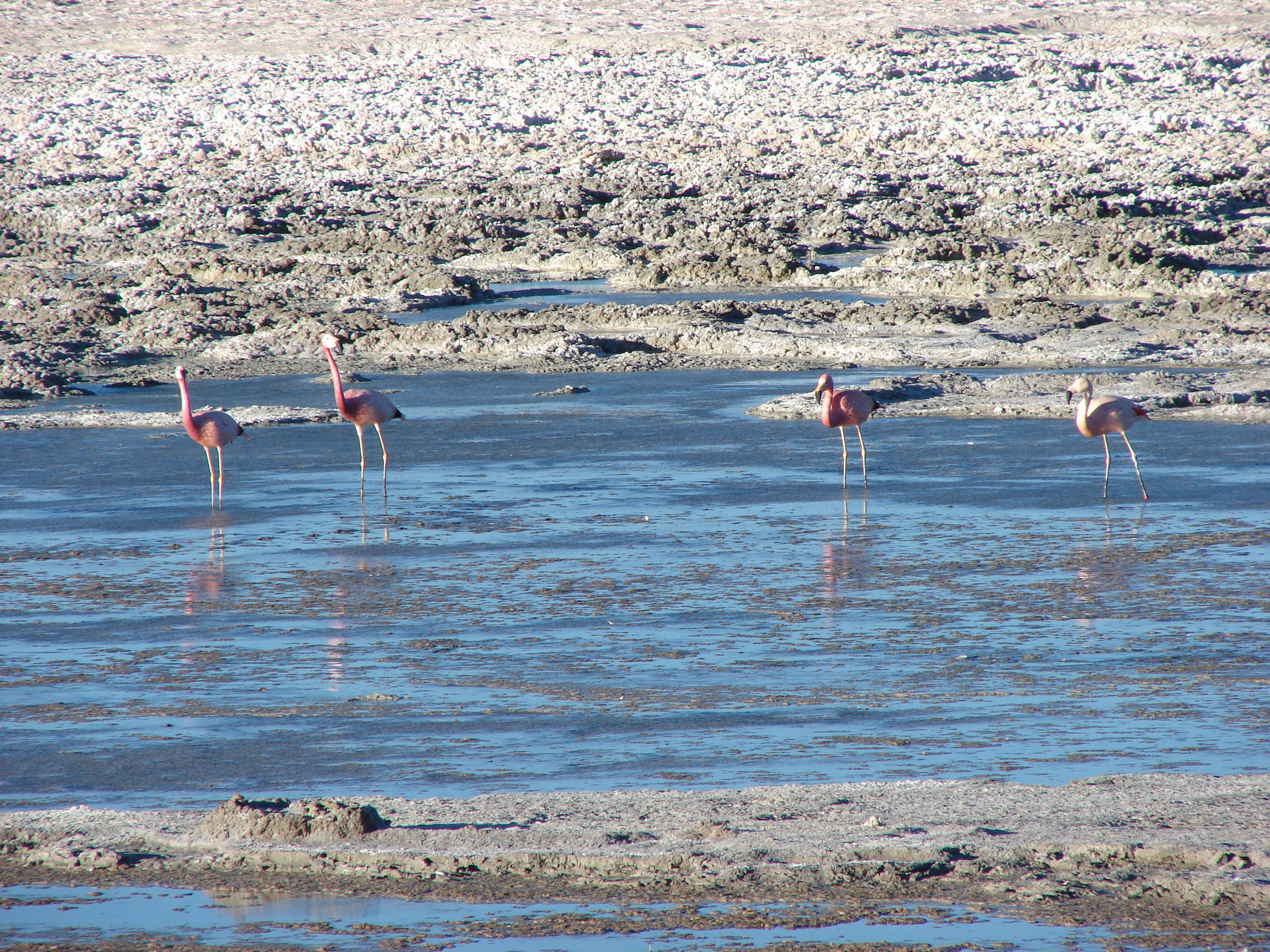
In 1927, engineers dammed the Rio Ola and diverted most of its flow to copper processing plants at Potrerillos and El Salvador. The salt flat lost its primary water source. Vegetation along the Ola River and the Quebrada Pedernales declined, and the wetland ecosystem that had sustained flamingos, cormorants, egrets, lizards, and toads began to contract. The National Copper Corporation of Chile acquired mining rights at the salar in 1977. By 2022, Salar de Pedernales was one of several Chilean salt flats earmarked for lithium extraction, adding a new layer of industrial pressure to a landscape already strained by decades of water diversion. Lawsuits in the 2020s forced the mining corporation to develop a wetland management plan, an acknowledgment that the salar's ecological value — its flamingo colonies, its borate deposits, its archaeological sites — had been treated as an afterthought. Borate mines on the southwestern margin, active since the nineteenth century, had already been abandoned by 1990.
From the Air
Salar de Pedernales is located at 26.23°S, 69.12°W in the Atacama Region of Chile, at 3,370 meters elevation east of the Cordillera Domeyko. The salt flat covers 243–335 square kilometers and appears as a large white-to-tan irregular surface visible from high altitude. It is accessible only by dirt road from Chile Route C-173, roughly 180 km east of Chaparal on the coast. The nearest airport is Desierto de Atacama Airport (SCAT) near Copiapo. Surrounding peaks exceed 6,000 meters in the Sierra Nevada de Lagunas Bravas to the east. Expect clear, dry conditions with strong surface winds and significant temperature swings.