Salton Sea: California's Accidental Ocean
California's largest lake is a mistake. The Salton Sea didn't exist in 1900 - just a dry basin called the Salton Sink, 227 feet below sea level, occasionally filled by ancient floods but empty for centuries. Then the California Development Company cut an irrigation channel from the Colorado River, the channel silted up, engineers cut more channels, and in 1905 the entire Colorado River changed course and poured into the desert. For two years, the river flooded the Salton Sink while engineers scrambled to stop it. The Southern Pacific Railroad finally dammed the breach in 1907, but by then California had a new lake 45 miles long. They named it the Salton Sea and pretended it was intentional.
The Desert
The Salton Sink had flooded naturally before - the Colorado River periodically overflowed its banks and filled the basin, creating temporary lakes that evaporated over centuries. Ancient Lake Cahuilla covered the region multiple times; Indigenous peoples lived on its shores. By 1900, the sink was dry desert, owned by developers who saw its potential for agriculture. The Colorado River was 50 miles south; all that farmland needed was irrigation. The California Development Company began cutting canals from the river, bringing water to the desert. Everything went according to plan until it didn't.
The Flood
The intake canal silted up repeatedly - the Colorado carried enormous sediment loads that clogged everything. In 1904, engineers cut additional channels through Mexico to bypass the silt. The Mexican channels had no proper headgates. When Colorado River floods arrived in early 1905, the water took the path of least resistance - directly into the Salton Sink. The breach widened with each passing day; the entire river shifted course. By the time engineers realized what was happening, the Colorado River was pouring into California's desert, creating a new lake at a rate of millions of gallons per hour.
The Rescue
Stopping the flood required closing a quarter-mile gap while the entire Colorado River poured through it. The California Development Company went bankrupt trying. The Southern Pacific Railroad, whose tracks were threatened by the rising water, took over the effort. They dumped thousands of railcars of rock into the breach; the river washed them away. They drove trestles across the gap and dumped more rock; the river undermined them. Finally, in February 1907, after spending $3 million and using every strategy engineers could devise, the breach was closed. The Colorado River returned to its original channel. The lake remained.
The Aftermath
The Salton Sea was too big to ignore and too salty to be useful. Agricultural runoff from the Imperial Valley became its only water source, and that water carried salt, pesticides, and fertilizers. The sea became saltier each year as evaporation concentrated the minerals. Fish populations crashed; bird die-offs became regular events; the shores lined with dead tilapia. The resorts built in the 1950s, when the sea briefly attracted tourists, decayed into apocalyptic ruins. Today the Salton Sea is an environmental catastrophe that was never supposed to exist - California's monument to unintended consequences.
Visiting the Salton Sea
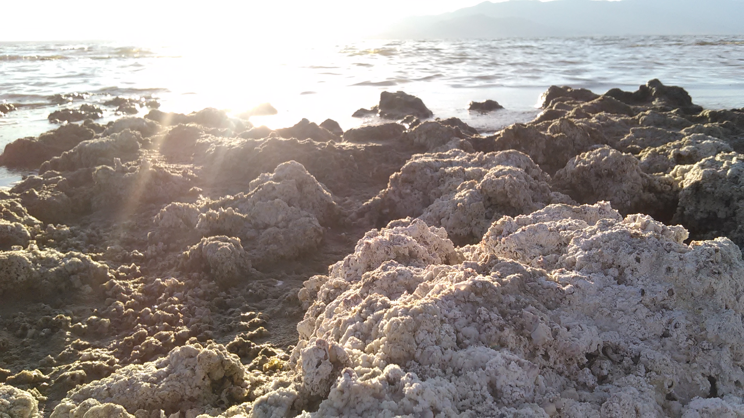
The Salton Sea is located in the Imperial and Coachella Valleys of southeastern California. The Salton Sea State Recreation Area on the northeast shore has camping and beach access, though the 'beaches' are fish bones and barnacle shells. The ghost resort towns of Bombay Beach and Salton Sea Beach offer post-apocalyptic photography. The area smells of decay and sulfur; visits during summer require tolerance for extreme heat (115°F+) and odor. The Sonny Bono Salton Sea National Wildlife Refuge protects bird habitat on the sea's south end. Palm Springs is 50 miles north with full services. Visit in winter for bearable temperatures; manage expectations about the 'sea' - it's a toxic, shrinking lake surrounded by decay.
From the Air
Located at 33.30°N, 115.90°W in the Salton Trough, southeastern California. From altitude, the Salton Sea appears as a large blue-green body of water in an otherwise brown desert landscape. The sea is clearly shrinking - white mineral deposits mark former shorelines. The Imperial Valley's agricultural grid stretches south; the Coachella Valley's development spreads north. The Chocolate Mountains rise to the east; the Santa Rosa Mountains to the west. The sea looks peaceful from altitude; the environmental catastrophe is invisible until you smell it.