San Bruno Mountain State Park
San Bruno Mountain State and County Park exists because of a butterfly. In the 1960s, when developers proposed blanketing the mountain with housing, environmentalists rallied around the Mission blue butterfly, a federally endangered species dependent on the lupine plants growing on the mountain's slopes. The resulting compromise, the San Bruno Mountain Habitat Conservation Plan of 1982, was the first of its kind in the United States, establishing a framework that has since been used to balance development and conservation across the country.
The First Conservation Plan
Before San Bruno Mountain, there was no legal template for allowing limited development while protecting endangered species habitat. The Endangered Species Act provided protections but no mechanism for compromise. The San Bruno Mountain plan created that mechanism: developers could build on lower slopes in exchange for preserving the ridgeline and upper elevations and funding ongoing habitat management. The plan has been imperfect, with ongoing debates about whether development has encroached too far. But the model it established has been replicated hundreds of times across the country, making San Bruno Mountain one of the most consequential conservation sites in American environmental law.
2,326 Acres Above the Bay
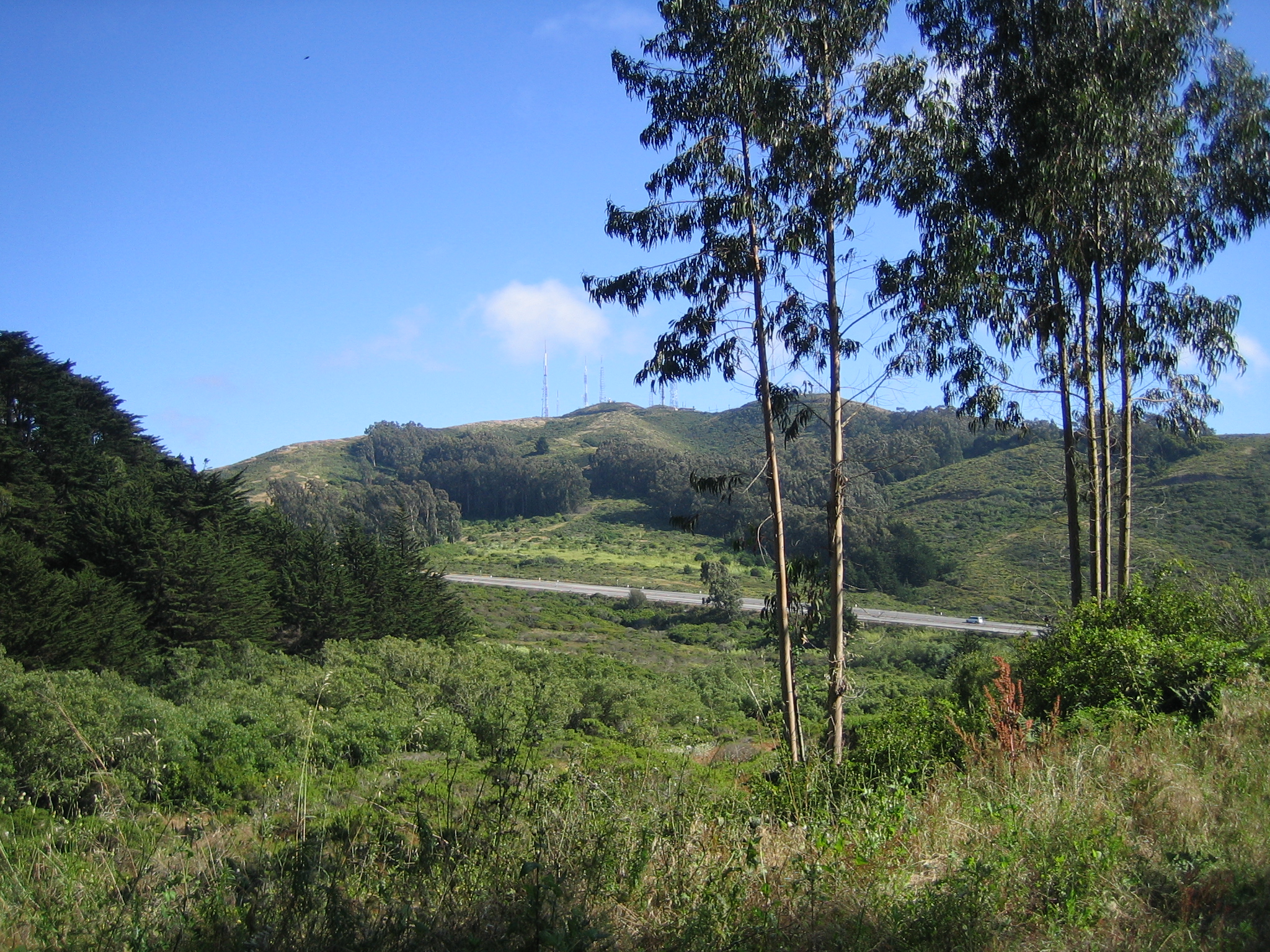
The park encompasses approximately 2,326 acres of ridgeline, grassland, coastal scrub, and riparian habitat. The summit trail climbs to 1,314 feet, the highest point on the northern San Francisco Peninsula. The views from the ridgeline are panoramic: the Golden Gate Bridge to the northwest, the Bay Bridge to the northeast, SFO directly below, and the Santa Cruz Mountains to the south. The park offers hiking, nature study, and solitude that feels improbable given its proximity to one of the most densely populated urban areas in California. On weekdays, the trails are often empty.
Urban Wilderness
San Bruno Mountain sits between Daly City, South San Francisco, Brisbane, and unincorporated San Mateo County. Its slopes are visible from BART trains, from Highway 101, and from thousands of windows in the surrounding neighborhoods. The park's northern boundary is minutes from downtown San Francisco. Yet on the ridgeline, in the wind, watching a Mission blue butterfly settle on a lupine bloom, the city feels abstract. The park is a reminder that conservation does not require wilderness. Sometimes it just requires saying no to one more subdivision and letting the butterflies keep the hilltop.
From the Air
Located at 37.69°N, 122.43°W in northern San Mateo County. The park's ridgeline is clearly visible from altitude. Nearest airports: SFO (KSFO, 4 nm south). The summit at 1,314 ft MSL is the highest terrain on the northern peninsula.