San Carlos Apache Indian Reservation
In Western Apache, they call it Tsek'aadn. In the late nineteenth century, white settlers had a different name: Hell's Forty Acres. The San Carlos Apache Indian Reservation, established on December 14, 1872 by President Ulysses S. Grant, was designed not as a homeland but as a containment zone - a place where General George Crook's strategy of turning Apache tribes against one another could be implemented. Malaria, poor conditions, and forced relocations defined its early decades. Yet today, across 1.8 million acres of southeastern Arizona desert, alpine meadows, and ponderosa pine forest, the San Carlos Apache people operate casinos, preserve their language, fight for sacred lands, and mine some of the finest peridot gemstones on Earth.
The Agent Who Caught Geronimo
John Clum turned down the job twice before accepting. In 1874, the Dutch Reformed Church assigned the 22-year-old to serve as Indian Agent for San Carlos, a position so difficult that experienced men avoided it. Clum developed an unconventional approach: he created the Apache Police, a force of Native officers who maintained order on the reservation. On April 21, 1877, Clum and 100 of his Apache Police accomplished what the entire U.S. Army had failed to do - they captured Geronimo at the Ojo Caliente Reservation in New Mexico Territory. The Army, which had spent years and countless resources pursuing the Apache leader, was humiliated. Administrators and military commanders alike worked to undermine Clum until he resigned in frustration. The reservation's new leadership promptly released Geronimo, triggering more than fifteen years of renewed conflict across the American Southwest.
A Gathering of Nations
After the Chiricahua Apache were deported to Florida in 1886, San Carlos became home to a complex web of Apachean-speaking peoples. The Pinal Coyotero of the Gila River area, the Aravaipa (Tsee Zhinnee), the Pinaleño (Tiis Ebah Nnee), the Apache Peaks band (Bichi Lehe Nnee), and the San Carlos proper (Tiis Zhaazhe Bikoh, meaning Small Cottonwood Canyon People) - all found themselves sharing this vast territory. The Indian Reorganization Act of 1934 allowed these diverse groups to form a unified government. Anthropologist Grenville Goodwin, who had lived among the Western Apache since the late 1920s, helped them design their new political structure. They became federally recognized as the San Carlos Nation, transforming from prisoners of war into sovereign citizens.
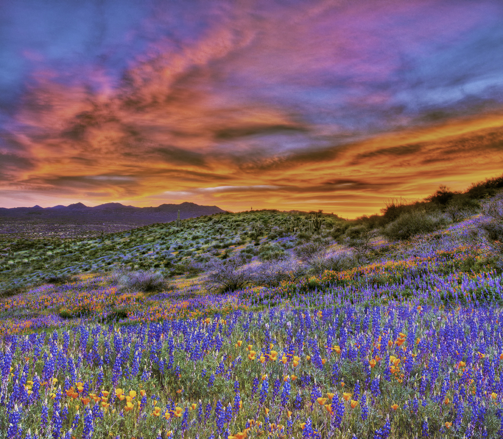
Oak Flat and Sacred Ground
Chi'chil Bildagoteel. That is the Apache name for Oak Flat, a campground in the Tonto National Forest dotted with petroglyphs and sacred sites. In December 2014, President Barack Obama signed the National Defense Authorization Act, which included a rider giving 2,422 acres of this sacred land to Resolution Copper Mine, a joint venture of Rio Tinto and BHP Billiton. The proposed mine would descend 7,000 feet - approximately five Empire State Buildings deep - beneath land the Apache have used for ceremonies for generations. Former tribal chairman Wendsler Nosie Sr. called it 'Congressional politics at its worst, a hidden agenda that destroys human rights and religious rights.' Over ten million people signed a petition opposing the land transfer. In 2016, Oak Flat was listed on the National Register of Historic Places, but the fight continues.
Green Fire from the Earth
Rising ninety meters above the surrounding desert, Peridot Mesa holds one of the most productive peridot deposits in the world. The brilliant green gemstones occur as nodules within vesicular basaltic rocks, formed by volcanic activity millions of years ago. Apache miners have worked these deposits since at least the late nineteenth century, extracting the precious stones from small open-pit mines cut into the basalt. Today, only tribal members or those with tribal permits may mine here. The stones from San Carlos are prized for their distinctive olive-green color and exceptional clarity. It is a fitting treasure for a people who have endured so much - green fire pulled from the volcanic rock of their homeland.
Language, Land, and Tomorrow
In 2011, the San Carlos Apache Language Preservation Program began reaching out to the tribe's 14,000 members to save the Western Apache language from extinction. In 2014, Chairman Terry Rambler announced the establishment of San Carlos Tribal College, with Arizona State University helping develop curriculum for associate degrees. The tribe operates the Apache Gold and Apache Sky Casinos, a wellness center with rooms designed to simulate traditional wickiups, and a Culture Center that tells the stories of the Apache people. Nearly half the reservation's residents live below the poverty line, and unemployment hovers around 36 percent. But the San Carlos Apache endure as they have for centuries, on land that stretches from desert to alpine meadows, beneath the second-largest lake in Arizona, holders of ancient traditions and green stones from the volcanic earth.
From the Air
The San Carlos Apache Indian Reservation spans 1.8 million acres at approximately 33.33°N, 110.16°W, covering portions of Graham, Gila, and Pinal Counties in southeastern Arizona. San Carlos Lake, formed by Coolidge Dam, is clearly visible from altitude as the second-largest body of water in Arizona. The terrain varies dramatically from 2,500-foot desert valleys to 8,000-foot pine forests. U.S. Route 70 traverses the reservation north to south. Safford Regional Airport (KSAD) lies to the southeast; Globe's airport is to the west. Respect tribal sovereignty - the reservation requires permits for many activities including low-altitude flight photography.