San Gregorio State Beach
They were looking for Monterey Bay and could not find it. In October 1769, Gaspar de Portola's expedition -- the first European land exploration of Alta California -- camped for three days at the mouth of a creek on the San Mateo coast to rest and treat their sick. They would never locate Monterey on this journey. Instead, they stumbled upon San Francisco Bay, one of history's great accidental discoveries. A stone marker at San Gregorio State Beach once commemorated those three days with a plaque, though the plaque has since gone missing. The beach itself remains, a windswept crescent where creek meets ocean at the intersection of Highway 1 and Highway 84.
Where Freshwater Meets Salt
San Gregorio Creek widens into a small freshwater lagoon behind a sand berm at the back of the beach, creating one of the coast's more unusual landscapes. The berm typically blocks the creek's mouth, forcing water to seep invisibly through the sand into the Pacific. During the rainy season, the creek builds enough force to cut through the barrier and flow directly into the ocean, reshaping the beach in the process. This annual cycle of blockage and breakthrough defines the beach's geography, creating a lagoon that shifts in size and depth with the seasons. The creek was historically a coho salmon spawning site, and the California Department of Fish and Game has considered restocking it to improve salmon fisheries south of San Francisco.
California Historical Landmark 26
The Portola expedition's campsite earned the designation of California Historical Landmark number 26, one of the earliest landmarks recognized in the state. The expedition had marched north from San Diego in search of Monterey Bay, which had been described by earlier sea explorers. When they could not identify it from land, they pressed on, eventually reaching the shores of San Francisco Bay, which no European had previously seen from the ground. Their three-day rest at San Gregorio was born of necessity -- members of the party were ill, and the coastal terrain was punishing. The stone marker that commemorates the stop stands near the beach, but its original plaque has disappeared, a small irony for a landmark celebrating an expedition famous for not finding what it was looking for.
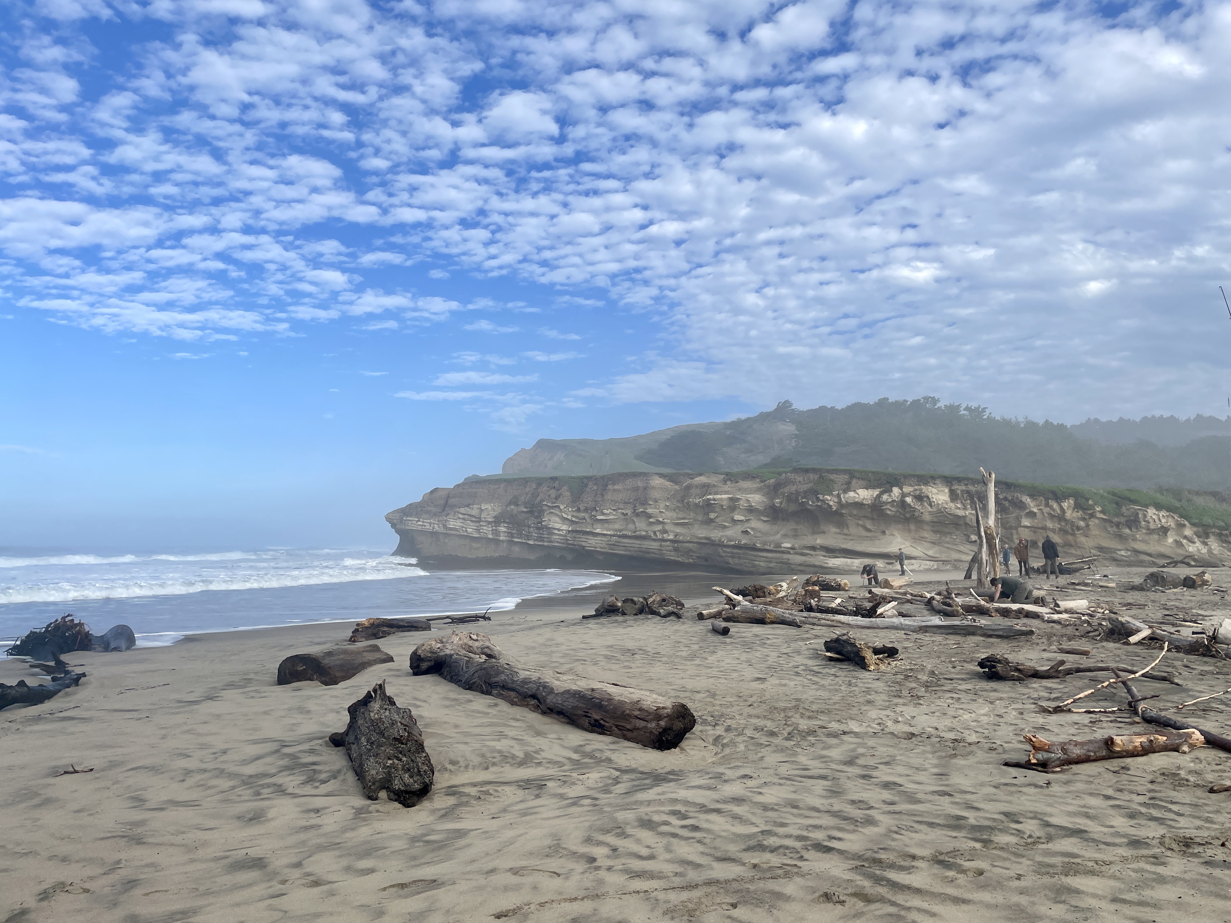
Plovers and Clean Sand
San Gregorio State Beach is rated one of the cleanest beaches in California, a distinction that owes as much to its modest visitor numbers as to any maintenance program. Dogs are prohibited because the beach has been identified as nesting habitat for the western snowy plover, a small shorebird whose population along the California coast has declined significantly. The plovers nest directly on the sand, making them vulnerable to disturbance from pets and foot traffic. North of the main beach, a privately accessed stretch of coastline has maintained a clothing-optional tradition since at least the 1960s. The state beach itself is a self-registered fee area with restrooms and picnic tables, staffed by a kiosk attendant during summer months. It is a quiet place, especially on foggy weekdays, when the only company is the plovers, the sound of the creek finding its way to the sea, and the ghost of an expedition that changed the map of California.
From the Air
Located at 37.323°N, 122.402°W at the intersection of Highways 1 and 84 on the San Mateo coast. The lagoon and creek mouth are visible features. Nearest airport: Half Moon Bay Airport (KHAF), 7 nm north. KSFO is 22 nm northeast. California Historical Landmark 26 marker is near the beach. Best viewed below 2,500 ft AGL.