San Miguel de Tucuman
Every July 9, the president of Argentina boards a plane and flies to this city. Not to Buenos Aires, not to the capital where the government sits the other 364 days of the year. To Tucuman. Because on July 9, 1816, in a rented colonial house on what is now Calle Congreso, thirty-three deputies declared the independence of the United Provinces of South America, and every year since 1992 San Miguel de Tucuman has been designated the ceremonial capital for the anniversary. It is a city that lives in two tenses -- the deep historical past that makes it a national pilgrimage site, and the loud, hot, traffic-choked present of a metropolitan area approaching a million people.
Twice Founded
Tucuman was first established in 1565 at a site called Ibatin, but the location proved unworkable and the city was re-founded at its current position in 1685. The Spanish colonial grid is still legible in the downtown core: blocks radiating from a central plaza, each originally divided among vecinos of social standing. That central plaza -- now Plaza Independencia -- remains the city's gravitational center, anchored by a Statue of Liberty sculpted by Lola Mora, the pioneering Argentine artist who also created the bas-reliefs at the Casa Historica. The colonial-era Casa Historica, the house where independence was declared, sits a few blocks away, rebuilt in the 1940s from a single 1869 photograph after decades of neglect had dissolved the original adobe walls. It is a museum now, host to a nightly son et lumiere show that replays the story of the declaration.
Green Heart of the Northwest
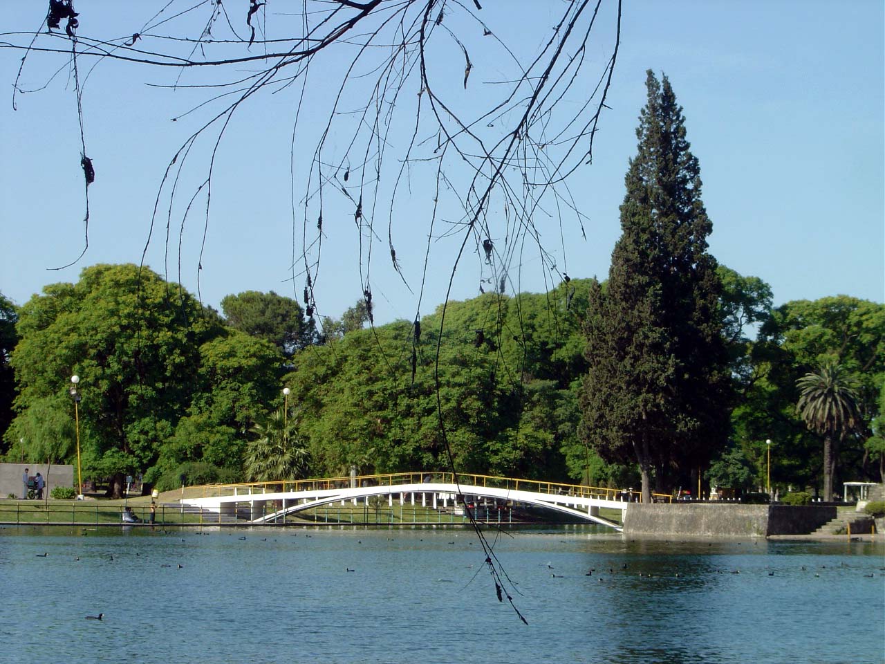
For a city in Argentina's arid northwest, Tucuman is startlingly lush. Summers are hot and humid, with daytime temperatures regularly exceeding 30 degrees Celsius and occasional heat waves pushing past 40. The rainfall that makes summer muggy also makes the surrounding landscape green -- a sharp contrast to the dry provinces flanking it. Five blocks east of downtown, the 100-hectare Parque 9 de Julio spreads across the city like a green lung, designed by French landscape architect Charles Thays, who shaped many of Argentina's finest urban parks. Within the park grounds stands Bishop Colombres's House, a colonial structure that now houses a museum of the sugarcane industry -- a reminder that sugar, not independence, drove the regional economy for most of the 19th and 20th centuries. The Yungas cloud forest begins just west of the city, climbing the slopes of the San Javier hills, where the vegetation shifts from subtropical scrub to dense, mist-wrapped woodland within a few hundred meters of elevation gain.
Getting There and Getting Lost
Teniente Benjamin Matienzo International Airport lies 9 kilometers east of the city, with daily flights to Buenos Aires and Cordoba. A train service once connected Tucuman to Buenos Aires on a 25-hour journey through the heart of the pampas, but as of late 2025 the line has been suspended due to deteriorating rail conditions. The bus station, one of the largest in the country, is walking distance from downtown and connects Tucuman to virtually every major city in Argentina. Once in the city, walking is the most practical way to explore the historic center -- the traffic is dense and disorganized enough that a taxi often loses time rather than saves it. White taxis with yellow and black stripes are the only legal option; anything else should be avoided.
Empanadas at the Crossroads
Tucuman sits at the intersection of routes that reach across northern Argentina. Ruta 9 runs north to Salta and Jujuy, passing through landscapes that shift from subtropical lowland to high Andean plateau. Ruta 307 climbs west through the Quebrada de los Sosa to Tafi del Valle and onward to the Calchaqui wine valleys. For visitors, the city serves as both destination and staging point -- a place to eat empanadas and tamales at the indoor market on the corner of Muneca and Mendoza streets, to drink local beer and Torrontes wine, and to plan excursions into the surrounding mountains. The San Javier hills, accessible by a road that ascends through the Yungas cloud forest, offer views back over the city that explain why this spot, at the junction of mountain and plain, has drawn human settlement since long before the Spanish arrived, and long before anyone thought to declare a nation here.
From the Air
Located at 26.82°S, 65.22°W. The city is clearly visible from altitude as the largest urban concentration in northwest Argentina, sprawling across the flat plain east of the Aconquija range. Teniente Benjamín Matienzo International Airport (ICAO: SANT) is 9 km east of the city center. The green expanse of Parque 9 de Julio is a distinguishing feature from the air. To the west, the terrain rises sharply into the Yungas forest and the San Javier hills. The city's grid pattern is pronounced from moderate altitude.