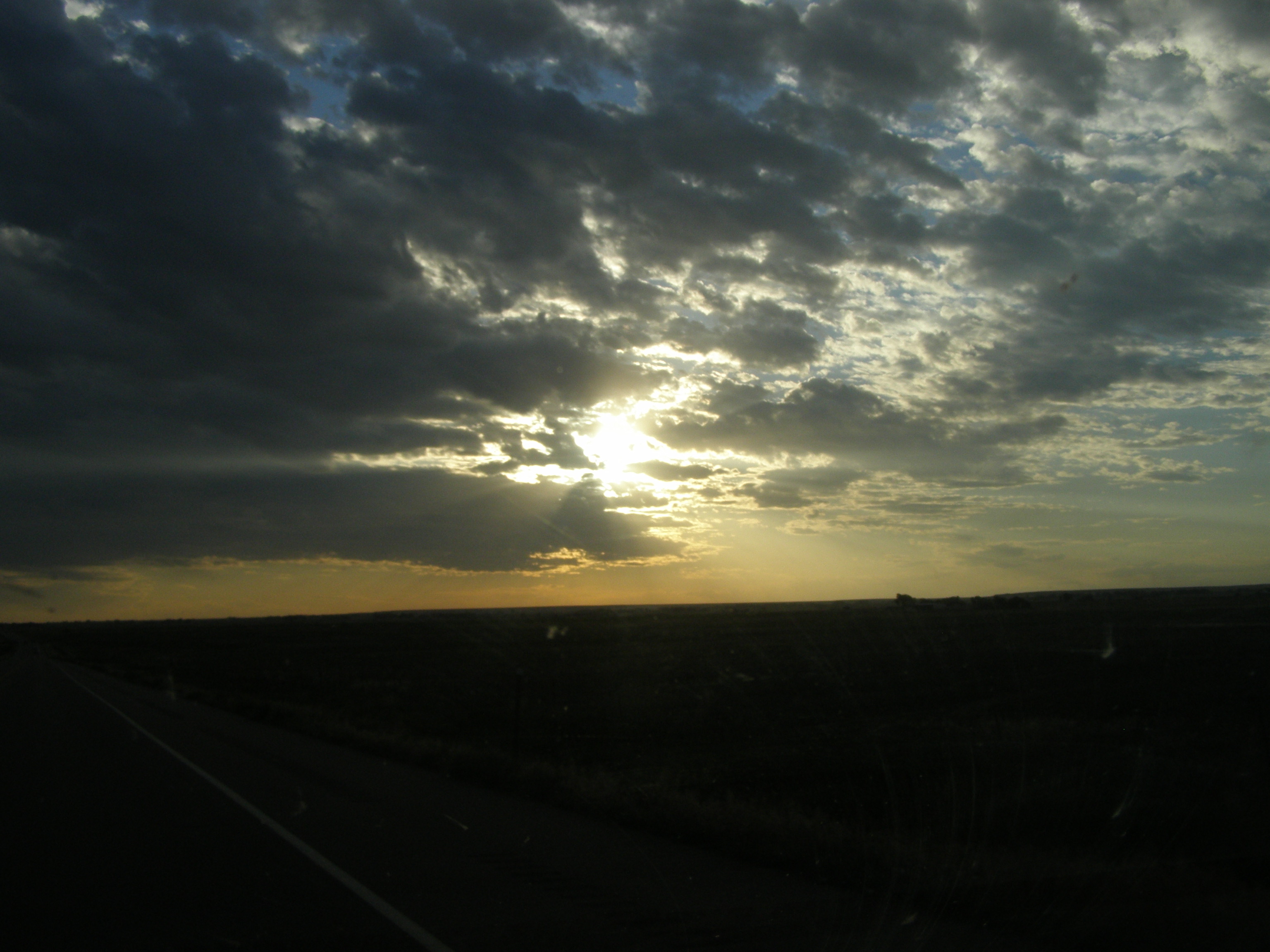
Sand Creek Massacre National Historic Site
Chief Black Kettle raised an American flag above his lodge. Beside it, he tied a white flag of surrender to a lodgepole, exactly as he had been instructed. It made no difference. At dawn on November 29, 1864, roughly 675 U.S. soldiers under Colonel John M. Chivington attacked an encampment of approximately 750 Cheyenne and Arapaho people along Sand Creek in southeastern Colorado Territory. The camp was there by agreement -- Black Kettle and other chiefs had brought their people to this site near Fort Lyon following peace negotiations with Colorado's territorial governor. What followed was not a battle. It was a massacre, and this stretch of shortgrass prairie in Kiowa County bears witness to one of the most grievous acts of violence in American frontier history.
A Broken Promise at Dawn
The Cheyenne and Arapaho families camped at Sand Creek believed they were under the protection of the U.S. government. Black Kettle, White Antelope, and some thirty other chiefs had negotiated their presence at this location. But Colonel Chivington, a former Methodist minister commanding the 3rd Colorado Volunteer Cavalry, had different intentions. He reportedly ordered his men to kill and scalp everyone, regardless of age or sex. Not all soldiers complied -- Captain Silas Soule and Lieutenant Joseph Cramer refused to fire, ordering their men to hold. But the majority attacked. By the time it was over, approximately 150 Cheyenne and Arapaho lay dead, roughly two-thirds of them women, children, and elderly. Nine soldiers were killed.
The Reckoning
Chivington initially returned to Denver as a hero, his attack celebrated in local newspapers. The truth emerged through the testimony of officers who had witnessed the slaughter. Captain Soule wrote damning letters to his superior, Major Ned Wynkoop, detailing what had happened. Three separate investigations followed: a military commission, a Special Joint Committee, and the congressional Joint Committee on the Conduct of War. All three condemned the massacre. An Army judge called it a cowardly and cold-blooded slaughter sufficient to cover its perpetrators with indelible infamy. Yet the post-Civil War amnesty meant no criminal charges could be filed against Chivington. The massacre ignited the Cheyenne-Arapaho War and fueled a decade of conflict across the Plains.
Reclaiming Sacred Ground
For more than a century, the massacre site lay unmarked on private ranchland. In 1999, archaeological teams from the National Park Service, the Bureau of Land Management, and the Colorado Historical Society -- accompanied by Native American observers -- discovered the remains of the massacre site. Period bullets, camp equipment, and other artifacts confirmed the location. Congress authorized the creation of a National Historic Site in 2000, and President George W. Bush gave final approval in 2005. On April 28, 2007, the Sand Creek Massacre National Historic Site was formally dedicated as America's 391st official park unit. The massacre site itself remains off-limits to visitors, accessible only by sight from a hilltop monument connected by walking trails.
A Living Memorial
The site continues to grow. In October 2022, Secretary of the Interior Deb Haaland stood alongside leaders of the Northern Arapaho Tribe, the Northern Cheyenne Tribe, and the Cheyenne and Arapaho Tribes, along with descendants of victims and survivors, to announce the purchase of additional acreage. The expanded land includes archaeological evidence of the village where families were camped and preserves an intact viewshed critical to the site's integrity. The Cheyenne and Arapaho Tribes of Oklahoma had previously conveyed their own land to be held in trust for the site. Beyond its historical significance, the expanded area protects one of the most intact shortgrass prairie ecosystems in the National Park system. The prairie grasses that witnessed the massacre still grow here, undisturbed, a quiet landscape holding a story that demands to be remembered.
From the Air
Located at 38.54N, 102.53W in Kiowa County, southeastern Colorado, near the small communities of Eads and Chivington. The site sits along Sand Creek in flat, open shortgrass prairie. From the air, the terrain is uniformly flat agricultural and rangeland with few distinguishing features -- look for the park access roads near the junction of County Road 54 and County Road W. Best viewed at 2,000-3,000 feet AGL. Nearest airports include Eads Municipal Airport (9V7), approximately 20 miles northwest, and La Junta Municipal Airport (KLHX) roughly 60 miles to the southwest. Clear weather conditions recommended for visibility of ground features.