Santa Barbara: The American Riviera
Santa Barbara calls itself 'The American Riviera' - a boast justified by the climate (average 300 days of sunshine), the setting (Pacific on one side, Santa Ynez Mountains on the other), and the aesthetic (whitewashed walls, red tile roofs, Mediterranean perfection). The look isn't entirely historical - a devastating earthquake in 1925 destroyed downtown, and the city chose to rebuild in Spanish Colonial Revival style, creating the visual coherence that defines it today. The result is California's most beautiful coastal city, expensive and aware of it, gracious and sometimes smug. The Channel Islands float offshore; wine country begins 30 miles north in the Santa Ynez Valley. Santa Barbara is where Southern California starts to feel like something else - older, calmer, more European in ambition.
The 1925 Earthquake
On June 29, 1925, a magnitude 6.8 earthquake struck Santa Barbara at 6:42 AM, killing 13 people and destroying much of downtown. The city faced a choice: rebuild haphazardly, as most disaster-struck cities do, or impose aesthetic standards. They chose standards. The newly formed Architectural Board of Review required Spanish Colonial Revival style - white stucco walls, red tile roofs, wrought iron, arched windows. Some property owners objected; the board prevailed. The result is downtown Santa Barbara: coherent, beautiful, and deliberately manufactured. The earthquake created the opportunity; civic leadership created the vision. What looks like centuries of organic development is actually coordinated rebuilding from 1925.
The Mission
Mission Santa Barbara, founded in 1786, is called the 'Queen of the Missions' - the only California mission that has remained continuously in Franciscan hands since its founding. The current church, built in 1820, combines Roman and Spanish Colonial architecture, its twin bell towers and stone facade set against the Santa Ynez Mountains. The mission grounds include a museum, a cemetery (containing the remains of 4,000 Chumash people), and gardens. Unlike many California missions, Santa Barbara's feels like a living church rather than a historical curiosity - services are still held, the grounds are maintained by the friars. The mission established the Spanish Colonial template that the city would later adopt after the earthquake.
State Street
State Street runs from the beach toward the mountains, the main commercial corridor, largely pedestrianized in recent years. The shopping and dining cluster downtown, Spanish Colonial storefronts housing California casual restaurants and boutiques. The Funk Zone, southeast of State Street near the waterfront, repurposed industrial buildings as wine tasting rooms, galleries, and restaurants. The wine industry that began in the Santa Ynez Valley has established urban outposts here - you can taste Santa Barbara County wines without driving to the vineyards. The street scene is pleasant but expensive; Santa Barbara's median home price exceeds $1.5 million, and that wealth shows in the shops and restaurants that survive.
The Channel Islands
The Channel Islands float offshore, visible from Santa Barbara on clear days - a chain of eight islands, five of which compose Channel Islands National Park. Anacapa and Santa Cruz are the most accessible, with ferries from Ventura (30 miles south) providing day-trip access. The islands harbor endemic species found nowhere else; the island fox, nearly extinct by 2000, has recovered dramatically. Kayaking through sea caves, hiking among wildflowers, and watching migrating whales define the experience. The islands feel genuinely wild, close enough to see from the California coast but isolated enough to maintain their ecological distinctiveness.
The American Riviera
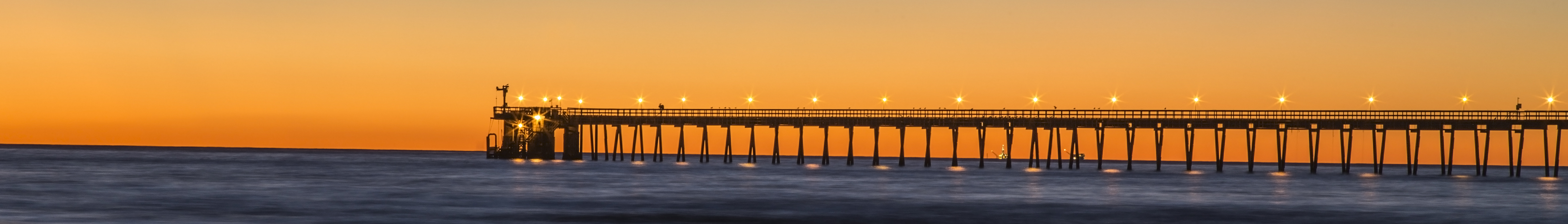
Santa Barbara Airport (SBA) offers limited commercial service; most visitors arrive via Los Angeles (90 miles south). The Amtrak Pacific Surfliner stops in Santa Barbara on its LA-San Francisco coastal route - one of America's most scenic train rides. Stearns Wharf, California's oldest working wharf, extends into the harbor with restaurants and shops. The Santa Ynez Valley wine region (think 'Sideways') begins 30 miles north over San Marcos Pass. From altitude, Santa Barbara appears as urban development pressed between mountains and sea - the Santa Ynez range rising steeply behind the city, the harbor and wharf visible, the white stucco uniformity of the architecture apparent even from above. The American Riviera, California's most deliberately beautiful city.
From the Air
Located at 34.42°N, 119.70°W on the California coast where the Santa Ynez Mountains meet the Pacific. From altitude, Santa Barbara appears as development compressed between mountains and ocean - the city's white stucco architecture visible, Stearns Wharf extending into the harbor, the Channel Islands offshore. SBA airport lies west of downtown. The Santa Ynez Mountains rise immediately behind the city. What appears from the air as a Mediterranean-style California coastal city is the American Riviera - rebuilt after 1925, deliberately beautiful, where the mountains meet the sea.