Santa Barbara Island
The Tongva people called it Tchunashngna. Spanish explorer Sebastian Vizcaino, sighting it on December 4, 1602, named it for the saint whose feast day it was. Today, Santa Barbara Island sits alone in the Pacific, nearly forty miles from the nearest mainland coast, the smallest and most remote of California's Channel Islands. On clear winter days, it appears as a backlit silhouette at sunset, barely visible from the Palos Verdes Peninsula. For most of the year, it might as well not exist at all.
A Volcanic Outpost
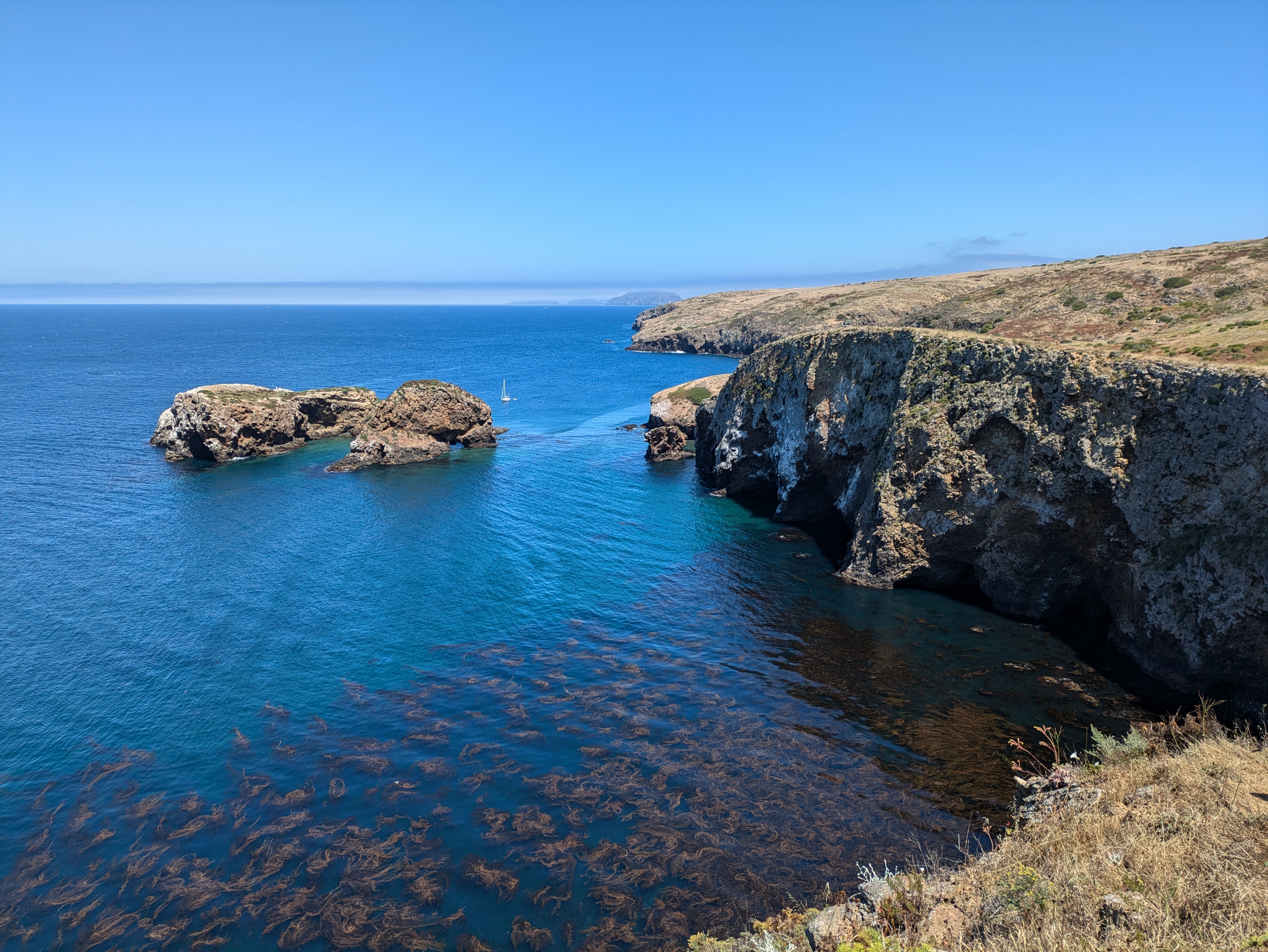
Santa Barbara Island covers barely one square mile, rising from Miocene-era volcanic basalt interbedded with ancient marine sediments. Its steep, wave-cut cliffs mark it as one of the younger Channel Islands, geologically speaking. At least six marine terraces step up from the shoreline, evidence of the island's repeated tectonic uplift and subsidence over millions of years. Geologists call this porpoising, an apt term for an island that seems to bob at the edge of continental waters. At the northeast shore, Arch Point displays a natural sea arch carved by waves exploiting fault-weakened rock. Signal Hill, the island's highest point, rises to 634 feet above sea level. Two named offshore rocks accompany the island: Sutil Island off the southwest end and Shag Rock to the north.
The Voyagers' Refuge
Archaeological sites dating back 4,000 years document human presence on Santa Barbara Island, though the Chumash and Tongva peoples likely used it as a temporary stopover rather than a permanent home. The island sat along maritime routes connecting the mainland to the larger Channel Islands, offering shelter and resources to canoe voyagers crossing the open channel. What drew them here across miles of unpredictable ocean? Perhaps seals, shellfish, or simply a waypoint on longer journeys. The island kept its secrets as waves eroded evidence of ancient camps and middens.
Beacons and Lookouts
In 1928, the United States Lighthouse Board erected a beacon on the island's northwest side, adding a second on the southwest corner in 1934. That same year, the steam-schooner California spent a week anchored offshore, processing blue, fin, and sperm whales caught by two steam-driven whale catchers. The Coast Guard eventually took over the beacons, replacing the northwest tower with a solar-powered steel structure in 1980. During World War II, the Navy built a Coastal Lookout Station that operated from 1942 to 1946, watching for Japanese submarines and aircraft. In the 1960s, they returned briefly for a photo-tracking station before abandoning the island to the seabirds and sea lions.
Protected Waters
Today, Santa Barbara Island lies within Channel Islands National Park, the only one of the four southern Channel Islands included in the park alongside all four northern islands. Its marine ecosystem falls under the protection of the Channel Islands National Marine Sanctuary. Despite its administrative ties to distant Santa Barbara County rather than closer Los Angeles or Ventura counties, the island remains uninhabited. Island Packers ferry service provides public access for visitors willing to make the journey. The island rewards them with nesting seabirds, pinnipeds hauled out on rocky shores, and the rare experience of standing on a place that most Californians will never see except as a distant smudge on the horizon.
From the Air
Santa Barbara Island appears as a small, isolated landmass at coordinates 33.48N, 119.04W, approximately 38 nautical miles from the Palos Verdes Peninsula. The island is visible from cruising altitude on clear days as a distinct dark shape against the Pacific. No airports exist on the island. The nearest facilities are at Catalina Airport (KAVX), approximately 25 nautical miles to the east, or mainland airports at Long Beach (KLGB) and Los Angeles International (KLAX). Signal Hill at 634 feet is the highest point.