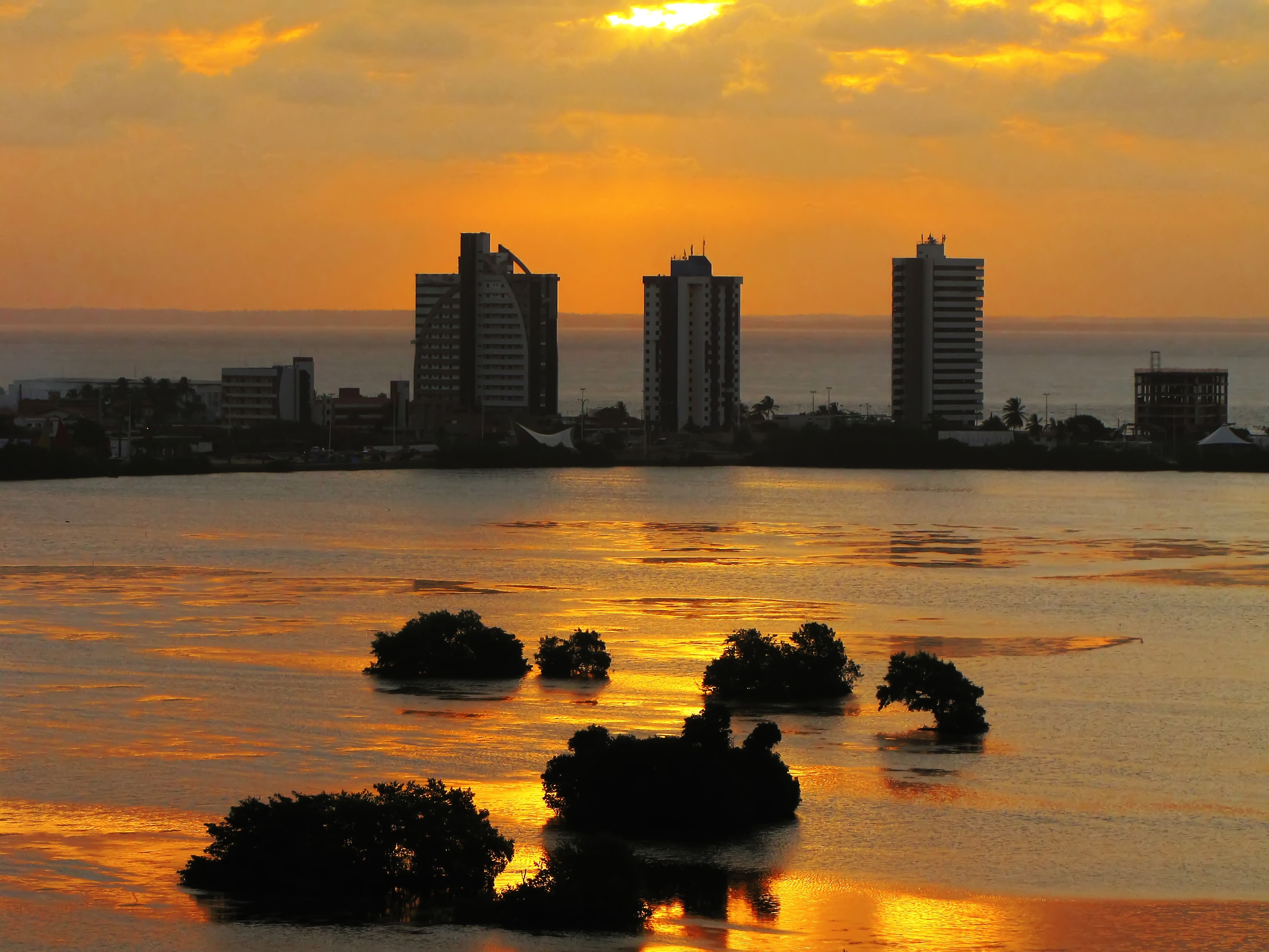
São Luís Island
The Tupinambá who lived here before anyone else called the place Upaon-açu. Big island. They were being literal. At 1,412 square kilometers it is the dominant landmass at the mouth of the Golfão Maranhense, a watery basin on Brazil's northern coast where two great estuarine bays meet and a half-dozen rivers empty into the Atlantic. The island holds four cities - São Luís on its western flank, São José de Ribamar to the east, Paço do Lumiar in the middle, and Raposa to the north - that together housed more than 1.45 million people at the 2021 estimate. The official name, when anyone uses it, is still Upaon-açu. Most people just say São Luís Island, after the city that took the name.
Two Bays, Seven Meters of Tide
The island is wedged between the Baía de São Marcos on the west and the Baía de São José on the east, two massive estuaries that between them receive the watersheds of the Mearim, Pindaré, Itapecuru, and Munim rivers. That geography produces one of the more dramatic tidal regimes on the Brazilian coast: the amplitude can exceed seven meters, meaning the line between land and water walks visibly in and out every six hours. At low tide, the flats around the island's beaches can run nearly a kilometer of exposed sand and mud; at high tide, there is sometimes no dry sand at all. This is not a place where the Atlantic politely laps at the shore. It negotiates, on a schedule, in bulk.
The Green Edge
Upaon-açu sits on an ecological seam. Fragments of Amazon rainforest - here called pre-Amazon or Eastern Amazon - mix with mangrove along the shoreline and with the Campo de Perizes, a herbaceous fluvial plain, on the mainland side. The island supports an unusual concentration of protected areas for a place this populated: the APA das Reentrâncias Maranhenses to the north, the APA of Upaon-Açu/Miritiba/Alto Preguiças covering much of the interior, smaller APAs for Itapiracó and the Maracanã region, and three state conservation units within São Luís itself - Bacanga State Park, Jansen Lagoon Ecological Park, and Sítio Rangedor State Park. The climate helps hold it all together: hot, semi-humid tropical, about 2,200 millimeters of rain a year, split sharply into a wet season from January to June and a dry one from July to December.
Crossing to the Island
For centuries, reaching Upaon-açu meant a boat. Now it means the Strait of Mosquitoes - Estreito dos Mosquitos - a narrow channel between the island and the mainland that carries an improbable density of infrastructure. Four bridges cross it: the BR-135 Marcelino Machado road bridge, composed of two parallel spans 456 and 454 meters long; the iron Benedito Leite railway bridge for the São Luís-Teresina line; a duplicate rail bridge serving the Carajás Railway; and a metal span carrying the Italuís waterway, which pipes drinking water from the Itapecuru River into the city. There is also a ferry link westward across São Marcos Bay to Alcântara. Above it all, Marechal Cunha Machado International Airport handles the air traffic.
Iron in the Bay
The deepwater ports on the island's western shore have quietly made it one of the most important export nodes in South America. The Terminal Marítimo de Ponta da Madeira is among the deepest ports in the world. It is the endpoint of the Carajás Railway, which brings iron ore - along with copper, bauxite, soy, fuel, and pulp - 892 kilometers east from the mines in the Amazon interior. The Port of Itaqui sits nearby, along with the Port of Alumar serving the Alumar aluminum complex. The Mearim and Pindaré rivers that feed São Marcos Bay were once the highways of a very different economy, carrying cacao and sugar to colonial São Luís. The cargo has changed; the bay still does the work.
Four Cities, One Shoreline
Each of the island's four municipalities has its own texture. São Luís holds the colonial core and the UNESCO-listed historic center. São José de Ribamar, on the eastern bay, is a Catholic pilgrimage town built around its patron saint. Paço do Lumiar holds quieter residential neighborhoods and the Araçagi Lighthouse; Raposa, on the northern tip, is a fishing town whose name means fox. Together with three small satellite islands under São Luís municipal jurisdiction - Tauá Mirim, Tauá, and Medo - and one under Raposa, they form an archipelagic counterweight to the island's mainland-facing center. Upaon-açu is big, as advertised. It contains multitudes.
From the Air
São Luís Island (Upaon-açu) centered near 2.60°S, 44.23°W, the dominant landform at the mouth of the Golfão Maranhense. Cruise at 6,000-10,000 feet to see the whole 1,412 km² island between the twin bays - São Marcos west, São José east - with the Strait of Mosquitoes bridges visible on the southern edge. Marechal Cunha Machado International Airport (SBSL) is the island's primary field, on the southeast near São Luís city. Ponta da Madeira and Itaqui ports show up as long piers along the western shore. Tidal flats stretch far out at low water, especially around Raposa on the north tip; time arrivals to cloud breaks in the January-June wet season.