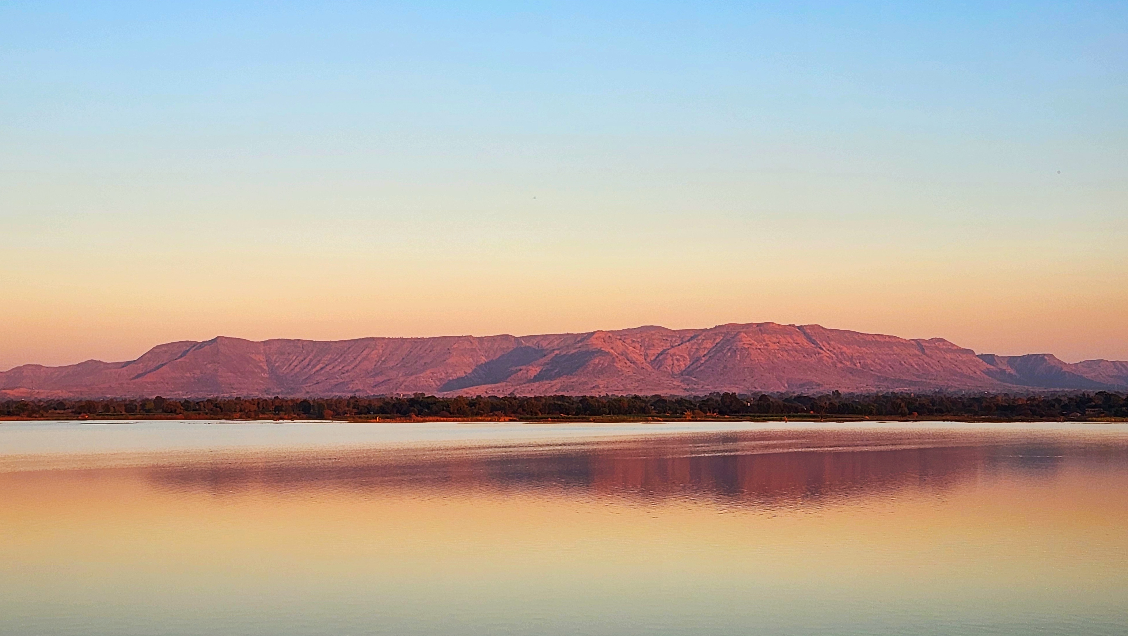
Satpura Range
Rudyard Kipling called them the Seeonee Hills. He set The Jungle Book in their sal forests and bamboo thickets, letting Mowgli run through ravines that real wolves and tigers still patrol. The Satpura Range stretches over 900 kilometers across central India, from eastern Gujarat through Maharashtra and Madhya Pradesh into Chhattisgarh, forming one of the subcontinent's most consequential geological boundaries. Together with the parallel Vindhya Range to the north, the Satpura divides India into two worlds: the Indo-Gangetic Plain above, the Deccan Plateau below.
The Spine Between Two Indias
Geologically, the Satpura is a horst -- a block of earth's crust pushed upward between two parallel faults. The Narmada Graben runs along its northern flank; the smaller Tapi Graben flanks it to the south. Two of India's great westward-flowing rivers owe their courses to this structure. The Narmada originates at Amarkantak, where the Satpura meets the Vindhya Range and the Maikal Hills, then runs westward through the depression between the two ranges for over 1,300 kilometers before emptying into the Gulf of Khambhat. The Tapti rises in the eastern-central part of the range, about 465 kilometers southwest of Amarkantak, crosses the mountains, and follows the southern slope westward to reach the sea at Surat. Between them, these rivers drain virtually the entire range.
Tiger Country
The Satpura's forests once sheltered Indian elephants, Asiatic lions, and Asiatic cheetahs -- all now gone from these hills. What remains is still extraordinary. The range harbors Bengal tigers, leopards, gaur, dhole, sloth bears, the four-horned chousingha, barasingha deer, and blackbuck. To protect this biodiversity, the Indian government has established a chain of reserves and national parks along the range: Kanha, Pench, Bandhavgarh, Satpura National Park, Gugamal, the Melghat Tiger Reserve, and the Pachmarhi Biosphere Reserve, among others. Kanha, at 940 square kilometers, is the largest national park in central India. Bandhavgarh has one of the highest known tiger densities in the country -- it was here, in 1951, that Maharaja Martand Singh of Rewa captured the first white tiger ever documented. That tiger, named Mohan, died in 1969 and his preserved remains are kept at Govindgarh Palace in Rewa.
Peaks, Pilgrims, and Hill Stations
The range's highest point is Dhupgarh, at 1,352 meters, located near the hill station of Pachmarhi -- a place the British developed as a sanatorium and summer capital for the Central Provinces, and which locals call Satpura ki Rani, the Queen of Satpura. At the range's eastern end, Amarkantak draws pilgrims as the birthplace of the Narmada, a town so sacred it is called Teerthraj, the king of pilgrimages. The 15th-century mystic poet Kabir is said to have meditated there, on a platform still known as Kabir Chabutra. At the western end, the Jain pilgrimage center of Muktagiri perches on the Maharashtra-Madhya Pradesh border, its 52 mountain temples surrounding a seasonal waterfall. Between these extremes lie hill retreats like Chikhaldara -- the only hill station in Maharashtra's Vidarbha region -- and the town of Multai, where the Tapti River is born and worshipped as a daughter of the Sun God.
Kipling's Landscape, Still Breathing
The Pench Tiger Reserve, in Seoni district, preserves part of the landscape Kipling imagined for Mowgli. The lush sal and bamboo forests, grassy meadows, and deep ravines of Kanha also featured in the novel. Walking through these forests today, you can understand what captured Kipling's imagination: the dense canopy that turns midday into twilight, the alarm calls of deer that announce a predator's approach, the silence of rivers running clear over sandstone. India's oldest forest preserve -- the Bori Reserve Forest, established in 1865 along the Tewa River -- lies within the Satpura Range, part of a conservation tradition that predates Indian independence by nearly a century. The range faces modern pressures from logging, poaching, and infrastructure development, but its protected areas remain some of the most biodiverse forests in central India.
From the Air
The Satpura Range stretches roughly east-west across central India, centered near 22°N, 78°E. The range parallels the Vindhya Range to the north, with the Narmada River flowing between them. Dhupgarh (1,352 m), the highest point, is near Pachmarhi. Major landmarks along the range include Kanha National Park, Pench National Park, Bandhavgarh National Park, and the Melghat Tiger Reserve. Nearest major airports: Nagpur (VANP), Bhopal (VABP), Indore (VAID), and Jabalpur (VAJB). The range is visible as a forested east-west ridge separating the Narmada valley from the Deccan. Best appreciated at 10,000-15,000 feet AGL for the full extent of the range.