Schultz Fire
Someone left a campfire burning. That single act of carelessness, north of Flagstaff, Arizona, ignited the Schultz Fire at 11:09 a.m. on June 20, 2010. Within hours, high winds drove the blaze across Schultz Peak and into the Coconino National Forest with enough ferocity that federal authorities classified it as an event of "national significance." By the time the last embers cooled, the fire had scorched thousands of acres of ponderosa forest, forced 748 homes to evacuate, and shut down two national monuments. The U.S. Forest Service posted a $2,500 reward for information about whoever walked away from that campfire. The culprit was never publicly identified.
A City Holds Its Breath
The fire exploded north of Flagstaff and moved fast. The Coconino County sheriff closed U.S. Route 89 and ordered evacuations that displaced nearly a thousand residents. Sunset Crater and Wupatki National Monument, two of northern Arizona's treasured archaeological sites, were emptied of visitors and staff. Three hundred firefighters responded on the first day, but the blaze outpaced them. A Type One Incident Management Team was dispatched, a designation reserved for the most serious incidents in the country. By June 22, 800 firefighters were on the line, with reinforcements arriving from as far away as Idaho. The southern edge of the fire crept to within miles of Flagstaff itself.
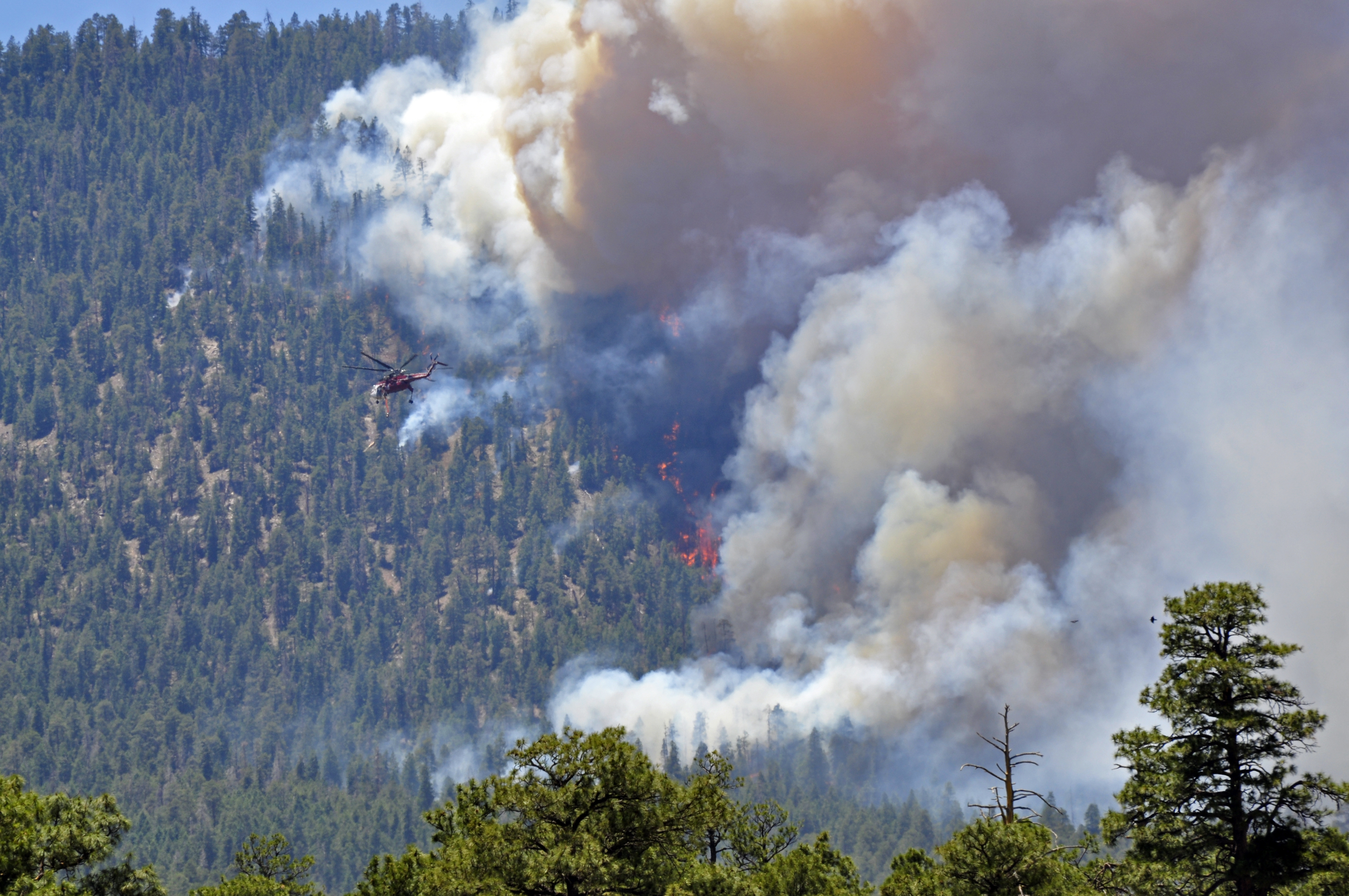
Fighting Fire with Fire
The strategy that ultimately contained the Schultz Fire also made life miserable for Flagstaff residents. Firefighters set deliberate backfires to rob the advancing blaze of fuel, a proven technique that filled the city with smoke for days. By June 25, these controlled burns had pushed containment to 40 percent. Governor Jan Brewer flew over the fire on June 22 and secured federal fire management assistance, bringing additional resources to the fight. Through it all, the damage to structures remained remarkably low: no homes were destroyed, and only two firefighters sustained injuries. The restraint of the fire near populated areas was a testament to the aggressive containment strategy, even as smoke choked the streets of Flagstaff.
The Longer Battle
When the last flames were declared contained on July 1, the real work began. Firefighters turned their attention to Doyle Peak and Schultz Peak, where the concern shifted from fire to water. Burned hillsides stripped of vegetation become conduits for erosion and mudslides, a lesson Flagstaff had learned the hard way after the 1977 Radio Fire on nearby Mount Elden. Crews evaluated whether to cut down burned trees or lay hay bales to stabilize slopes, banking on aspen and other quick-growing species to eventually restore ground cover. A Type III Incident Management Team took over rehabilitation efforts on July 2. Some forest trails reopened on July 1, but large sections of the Coconino National Forest remained closed to the public until September 15, giving the scorched land its first quiet months of recovery.
Scars Visible from Above
The Schultz Fire left a burn scar on the San Francisco Peaks foothills that remains visible years later. The contrast between charred slopes and surrounding green forest is stark from the air, a ragged brown patch on the northern approach to Flagstaff. The fire underscored the vulnerability of mountain communities in the arid West, where a single unattended campfire can trigger evacuations of hundreds of families. It also demonstrated the cascading risks that follow wildfire: not just the flames themselves, but the floods and mudslides that arrive with the next monsoon season, turning burned watersheds into debris flows that threaten the valley below.
From the Air
The Schultz Fire burn area is located at approximately 35.40N, 111.53W, on the slopes of Schultz Peak and Doyle Peak in the San Francisco Peaks foothills north of Flagstaff, Arizona. The burn scar is visible from altitude as a lighter-colored patch against the surrounding Coconino National Forest. Sunset Crater National Monument lies to the northeast. Nearest airport: Flagstaff Pulliam (KFLG) approximately 8nm south. Expect variable visibility during summer monsoon season. U.S. Route 89 runs through the area below.