Seattle Fault
Five locations along the southern edge of Seattle share an unusual feature in Native American oral tradition: each is associated with a'yahos, a powerful supernatural spirit known for shaking, rushes of water, and landsliding. For centuries, these stories seemed purely mythological. Then, in 1992, geologists published five papers in Science that proved the stories were anchored in fact. About 1,100 years ago, between 923 and 924 CE, a magnitude 7 or greater earthquake ruptured the Seattle Fault, lifting the southern shoreline of Puget Sound by several feet, triggering tsunamis, sending rock avalanches crashing into Lake Washington, and reshaping the coastline overnight. The fault runs east-west through the most densely populated metropolitan area in the Pacific Northwest, roughly along the path of Interstate 90, and it is capable of doing it all again.
The Day the Shoreline Jumped
The evidence of the 923-924 CE earthquake is written into the landscape. At Restoration Point on the southern tip of Bainbridge Island, geologists found an abruptly uplifted marine terrace, proof that the ground on the south side of the fault was shoved upward in a single violent event. Across Elliott Bay at Alki Point, the land subsided. Tsunami deposits turned up in sediment cores from Puget Sound. On the shores of Lake Washington, researchers found evidence of simultaneous rock avalanches and multiple landslides, all dating to the same narrow window. The five reports published in Science in 1992 wove these lines of evidence together and established, for the first time, that Seattle sits on top of a major seismic hazard. The fault had been suspected since 1965, when gravitational anomaly mapping revealed something unusual beneath the surface, but it took nearly three decades to prove what the anomalies meant.
Anatomy of a Hidden Fracture
The Seattle Fault is not a single clean break but a zone of multiple shallow east-west thrust faults stretching approximately 70 kilometers from near Fall City in the east to Hood Canal in the west. At its core, the fault marks the boundary where 50-to-60-million-year-old basalt of the Crescent Formation on the south has been forced upward and over younger, softer sedimentary rock in the Seattle Basin to the north. Three principal strands have been identified through high-resolution seismic reflection and aeromagnetic surveys, with the northernmost strand running nearly along Interstate 90 and then under Lake Sammamish. Most of the faulting is 'blind,' meaning it does not reach the surface, and the heavy vegetation and urban development that blanket the Puget Lowland make surface traces extremely difficult to find. A rare exception exists at Mee Kwa Mooks Park south of Alki Point, where a visible scarp marks the West Seattle Fault.
Forty Million Years in the Making
The Seattle Fault dates to approximately 40 million years ago, during the late Eocene. Its origin is tied to the death of another fault. To the east, the north-south-striking Straight Creek Fault had been accommodating regional compressive forces through strike-slip motion, blocks of crust sliding horizontally past each other. When intrusions of plutonic rock jammed the Straight Creek Fault, the compressive force that it had absorbed was transferred westward to the crust of the Puget Lowland. The crust folded and faulted, and blocks of rock began jamming over one another in the east-west orientation that defines the Seattle Fault today. The Seattle Fault forms the northern edge of a regional structure called the Seattle Uplift, with the Tacoma Fault marking the southern edge. One geological model envisions the two faults converging at depth to form a wedge being squeezed upward by north-south compression. Sediment studies in Lake Washington have revealed evidence of seven large earthquakes, magnitude 7 or greater, in the last 3,500 years.
What a Magnitude 7 Would Mean Today
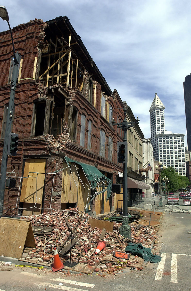
A magnitude 7 earthquake on the Seattle Fault would be catastrophic for the metropolitan region. Computer modeling shows it could generate a tsunami several feet high on Elliott Bay, inundating waterfront infrastructure and industrial areas on Commencement Bay 30 miles to the south in Tacoma. A 2002 study estimated such an event would damage approximately 80 bridges in the Seattle-Tacoma area. Failure of just six bridges, the minimum expected damage from even a moderate Benioff zone event, could cause at least $3 billion in lost business revenue alone. The greatest concern is for unreinforced masonry buildings, of which Seattle is estimated to have around a thousand, concentrated in Capitol Hill, Pioneer Square, and the International District. Structures built on fill, including much of Pioneer Square, the industrial area, and the waterfront, face heightened risk of ground failure. There is also the possibility that a severe event could trigger collapse of the Duwamish or Puyallup River deltas, where the main port facilities for both Seattle and Tacoma are located.
The Spirit Boulder Remembers
Among the most remarkable aspects of the Seattle Fault story is the persistence of indigenous memory. Near the Fauntleroy ferry dock in West Seattle, a boulder called Psai-Yah-hus has been recognized in local tradition as a spirit stone, associated with the same a'yahos figure whose characteristics, shaking earth, rushing water, landslides, precisely describe the effects of a major earthquake on a thrust fault. Five such a'yahos sites trace the fault's path across the landscape. These stories survived more than a thousand years of oral transmission, a span of time during which the geological community was entirely unaware of the fault's existence. The Seattle Fault can produce two types of earthquakes: the regional uplift type, of which the 923-924 CE event appears to be the only instance in 7,000 years, and a more localized, shallower type that may be even more damaging. At least four of the latter type have occurred in the past 3,000 years on the western end of the fault. The history of the central and eastern segments remains largely unknown.
From the Air
The Seattle Fault runs east-west across the Puget Sound Lowland at approximately 47.61N, 122.33W, roughly along the path of Interstate 90 through Seattle. From the air, the fault's trace is invisible beneath urban development and vegetation, but its geological effects shaped the terrain: note the uplifted bluff at Restoration Point on the southern tip of Bainbridge Island and the contrasting lowlands of the Seattle waterfront. The fault extends from near Fall City in the east to Hood Canal in the west, a span of approximately 43 miles. Nearest airports: Boeing Field/King County International (KBFI) 4nm south of the fault trace, Seattle-Tacoma International (KSEA) 11nm south. The fault passes directly beneath downtown Seattle.