Sechelt
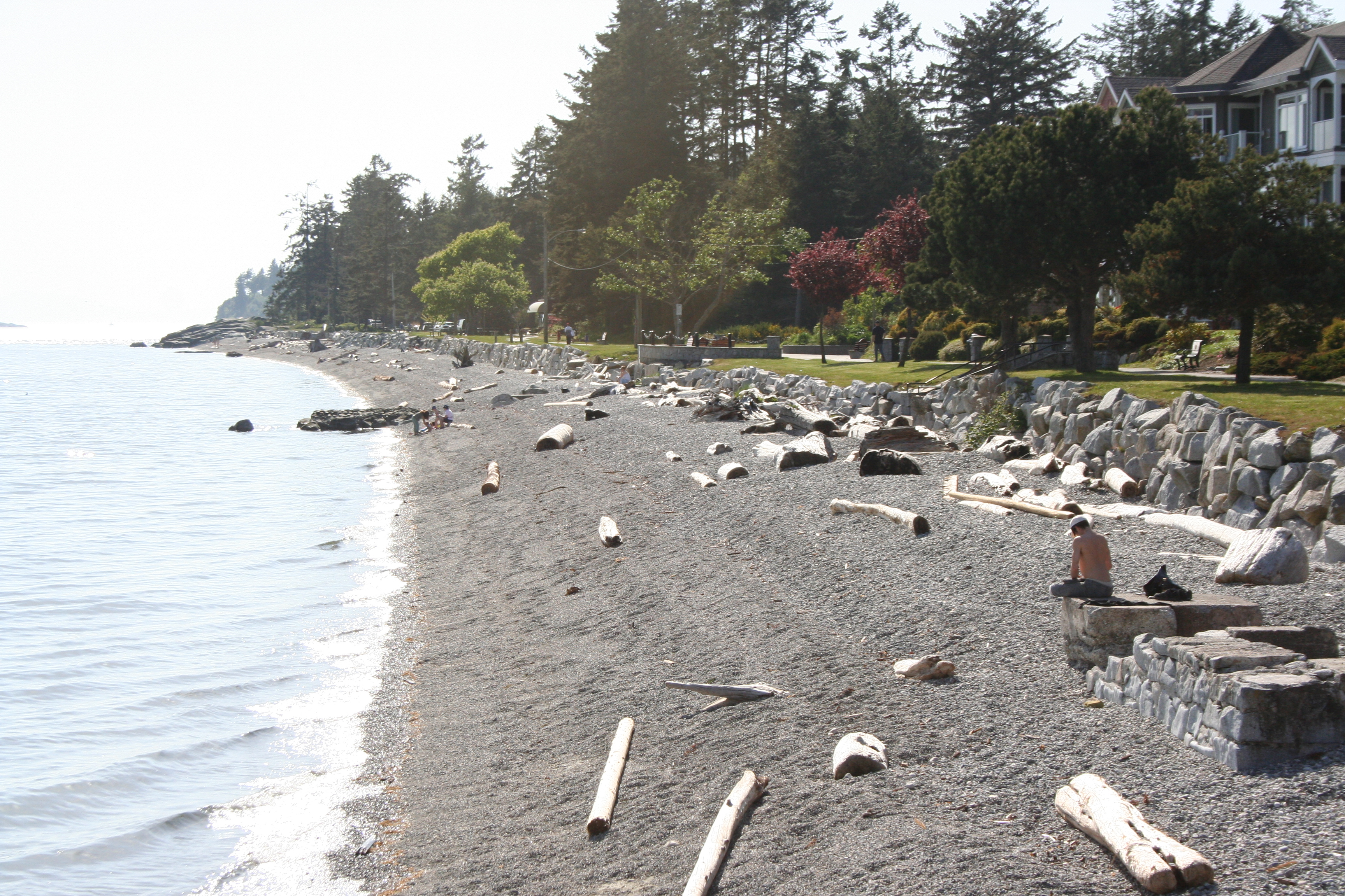
Sechelt occupies one of the more improbable pieces of geography on British Columbia's coast. The town sits on a narrow neck of the Sechelt Peninsula, with Trail Bay and the open Strait of Georgia to the south and the long fjord of Sechelt Inlet reaching northward. Water is visible from almost everywhere, yet this is not an island. It is a place where two very different coastlines come within walking distance of each other, and where a community of nearly 11,000 people has built a life shaped by that proximity to the sea on both sides.
The shishalh Heartland
Immediately east of Sechelt's downtown village lies the shishalh Nation Government District, a self-governing Indigenous municipality that predates the town around it by millennia. The tems swiya Museum preserves the cultural heritage of the shishalh people, whose traditional territory encompasses the inlets, forests, and coastline that define the region. The museum and the nearby Raven's Cry Theatre sit on land that carries heavy history: this was also the site of St. Augustine's Indian Residential School, which operated from 1904 to 1975. The last physical remains of that school building were burned in 2008, and the shishalh Nation has transformed the site into a center of cultural revitalization rather than a monument to what was taken.
Sinkholes and Surprises
Sechelt has a geological quirk that caught residents of the Seawatch subdivision off guard. The area is underlain by terrain prone to sinkholes, and when the ground began opening up beneath homes, it triggered a cascade of lawsuits involving homeowners, the district, developers, and the province. Court cases stretched through the 2020s, with judges ruling on questions of negligence, covenants, and who bears responsibility when the earth literally drops out from under a neighborhood. The saga became one of British Columbia's more closely watched municipal disputes, a cautionary tale about building on land whose subsurface geology was not fully understood before subdivision approval.
Ancient Trees, Drag Races, and Everything Between
The range of things to do in Sechelt defies the town's modest size. Six kilometres from downtown, the Hidden Groves preserve old-growth forest with wheelchair-accessible trails winding among giant ancient trees, maple wetlands, and rocky promontories overlooking Vancouver Island. The Sechelt Heritage Forest portion is protected by the province and managed by the Sechelt Community Forest with a mandate that it shall not be logged. At the other end of the spectrum, auto enthusiasts converge every August for the Sleepy Hollow Rod Run and drag races at Sechelt Airport, transforming the small regional aerodrome into a roaring showcase of custom cars. Between these extremes, the town offers kayaking on Sechelt Inlet, diving in its clear waters, mountain biking on forest trails, and an 18-hole public golf course.
The Quarry and the Coast
One of North America's largest open-pit gravel quarries operates on the edge of Sechelt, run by Heidelberg Materials. It is a jarring contrast to the natural beauty brochures, but it reflects the economic reality of a town that balances tourism and resource extraction. Sechelt also hosts a satellite campus of Capilano University, a regional hospital originally founded as St. Mary's, and the administrative offices of the Sunshine Coast Regional District. The town functions as the service hub for a stretch of coast accessible only by ferry from Vancouver or by winding highway from the Langdale terminal. That geographic isolation, the same quality that makes the Sunshine Coast feel like an escape, also concentrates community life in ways that larger, more connected towns rarely experience.
From the Air
Located at 49.47N, 123.75W on the Sechelt Peninsula of British Columbia's Sunshine Coast. From the air, the town's position on the narrow isthmus between Trail Bay (south) and Sechelt Inlet (north) is striking. Sechelt Aerodrome (CAA3) is visible a few kilometres east of downtown. The large Sechelt Quarry is also visible as an open-pit operation. Look for the long reach of Sechelt Inlet extending northward into the Coast Mountains. Vancouver International Airport (CYVR) is approximately 60 km southeast across the Strait of Georgia. Best viewed at 3,000-5,000 feet to appreciate the isthmus geography.