Shenandoah National Park
Shenandoah National Park stretches along 105 miles of Virginia's Blue Ridge, a ribbon of wilderness an hour from Washington, D.C. But 'wilderness' is misleading. These mountains were home to approximately 500 families when the park was created in the 1930s - subsistence farmers, mountain people whose ancestors had lived in the hollows for generations. The Commonwealth of Virginia condemned their land, evicted them, and demolished their homes to create what was sold as a 'primeval' forest. Today, the forest has largely reclaimed the farmland. Stone walls mark old fields; apple trees survive from long-gone orchards; graveyards remain where communities once stood. Skyline Drive runs the park's length, offering overlooks to the Shenandoah Valley and beyond. It's a beautiful park built on a history that the park itself is only beginning to tell honestly.
The Creation
In the 1920s, conservationists wanted a national park in the East, accessible to millions who couldn't reach western parks. The Blue Ridge was selected; Virginia agreed to acquire the land. Unlike western parks carved from public domain, Shenandoah required removing existing residents. The park's promoters portrayed mountain people as degenerate 'hillbillies' who would benefit from relocation. In reality, most were farmers with deep roots, some holding land grants dating to colonial times. Virginia used eminent domain to take the land; families were evicted between 1935 and 1938. Some received compensation; others lost everything.
The People
Before the park, approximately 500 families lived within its boundaries in communities with names like Corbin Hollow, Nicholson Hollow, and Old Rag. They farmed small plots, raised livestock, made whiskey, and lived in relative isolation. They were poor by national standards but largely self-sufficient. Some families had lived in these mountains for 200 years. Removal was traumatic. Elderly residents were sent to government resettlement communities or institutions. Families were scattered. Cemeteries remained, but the communities were erased. Only recently has the park begun acknowledging this history.
The Reclamation
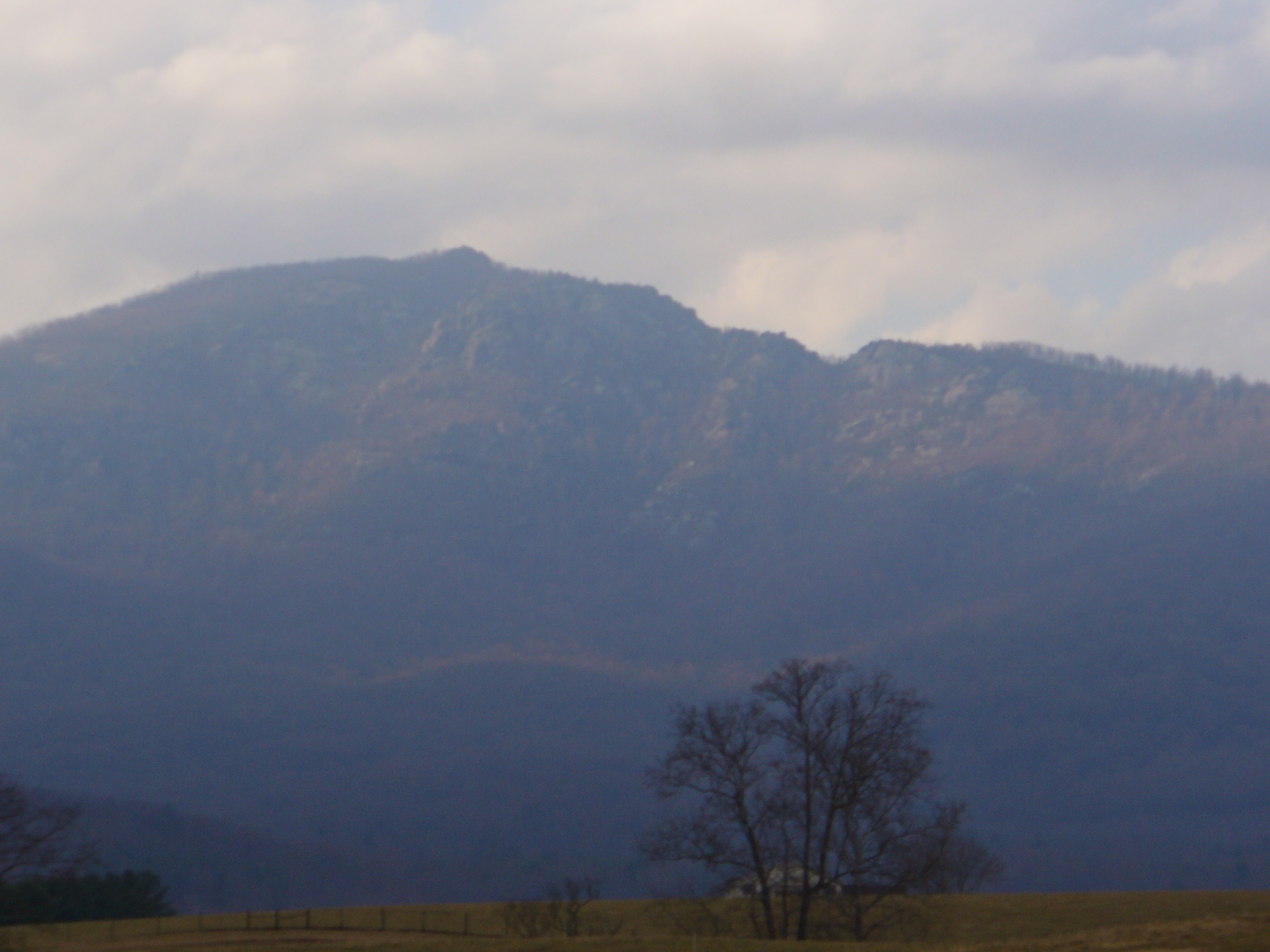
The forest has largely reclaimed the farmland. What were fields in the 1930s are now woods. But signs of human habitation remain for those who look: stone walls, fruit trees, building foundations, chimneys standing alone. The Big Meadows area was kept open because visitors expected meadows; elsewhere, trees have filled in pastures and orchards. Some trails follow old roads. A few cemeteries are maintained. The 'wilderness' experience of Shenandoah is in fact a demonstration of forest succession on abandoned farmland - a different kind of natural process.
The Experience
Skyline Drive runs 105 miles along the Blue Ridge crest, with 75 overlooks providing views east to the Piedmont and west to the Shenandoah Valley. Over 500 miles of trails explore the park, including 101 miles of the Appalachian Trail. Big Meadows offers the largest remaining open area and best wildlife viewing. Waterfalls include Dark Hollow Falls (closest to Skyline Drive) and Overall Run Falls (tallest in the park). The Blue Ridge Mountains are Appalachian old growth - rounded peaks rather than dramatic crags - with a beauty that's gentle rather than spectacular.
Visiting Shenandoah
Shenandoah National Park is located in the Blue Ridge Mountains of Virginia, about 75 miles west of Washington, D.C. Skyline Drive runs the park's length; entrance fees apply. Access points include Front Royal (north), Thornton Gap (mid-north), Swift Run Gap (mid-south), and Rockfish Gap (south). Lodges at Big Meadows and Skyland offer overnight accommodation; campgrounds are distributed along Skyline Drive. Popular trails include Old Rag Mountain (challenging scramble), Whiteoak Canyon, and the many Appalachian Trail sections. Fall foliage is spectacular (mid-October peak); spring wildflowers are abundant. Washington Dulles (IAD) and Richmond (RIC) airports are roughly equidistant.
From the Air
Located at 38.53°N, 78.35°W along the crest of the Blue Ridge Mountains in Virginia. From altitude, the park appears as a forested ridge running southwest to northeast for 105 miles, with Skyline Drive visible as a thread along the crest. The Shenandoah Valley spreads to the west; the Virginia Piedmont extends east toward Washington, D.C. Big Meadows appears as an open area amid the forest. The park's linear shape, following the ridgeline, is evident. Urban development in the valley and piedmont contrasts with the forested park.