Shenandoah: The Skyline Drive Through America's Oldest Mountains
The Appalachians are old beyond imagining. Once they rivaled the Himalayas; 480 million years of erosion wore them to the gentle ridges visible today. Shenandoah National Park preserves 200,000 acres of the Blue Ridge in Virginia, a long narrow park straddling the crest where Skyline Drive provides 105 miles of mountaintop driving. The views extend west over the Shenandoah Valley, east toward the Piedmont, and everywhere demonstrate how erosion smooths what uplift creates. The forest that covers the mountains today is second growth - the land was heavily farmed and logged before the park's creation in 1935. The healing has been so complete that visitors don't notice the absence of old growth. The mountains have been patient; nature has returned.
The Drive
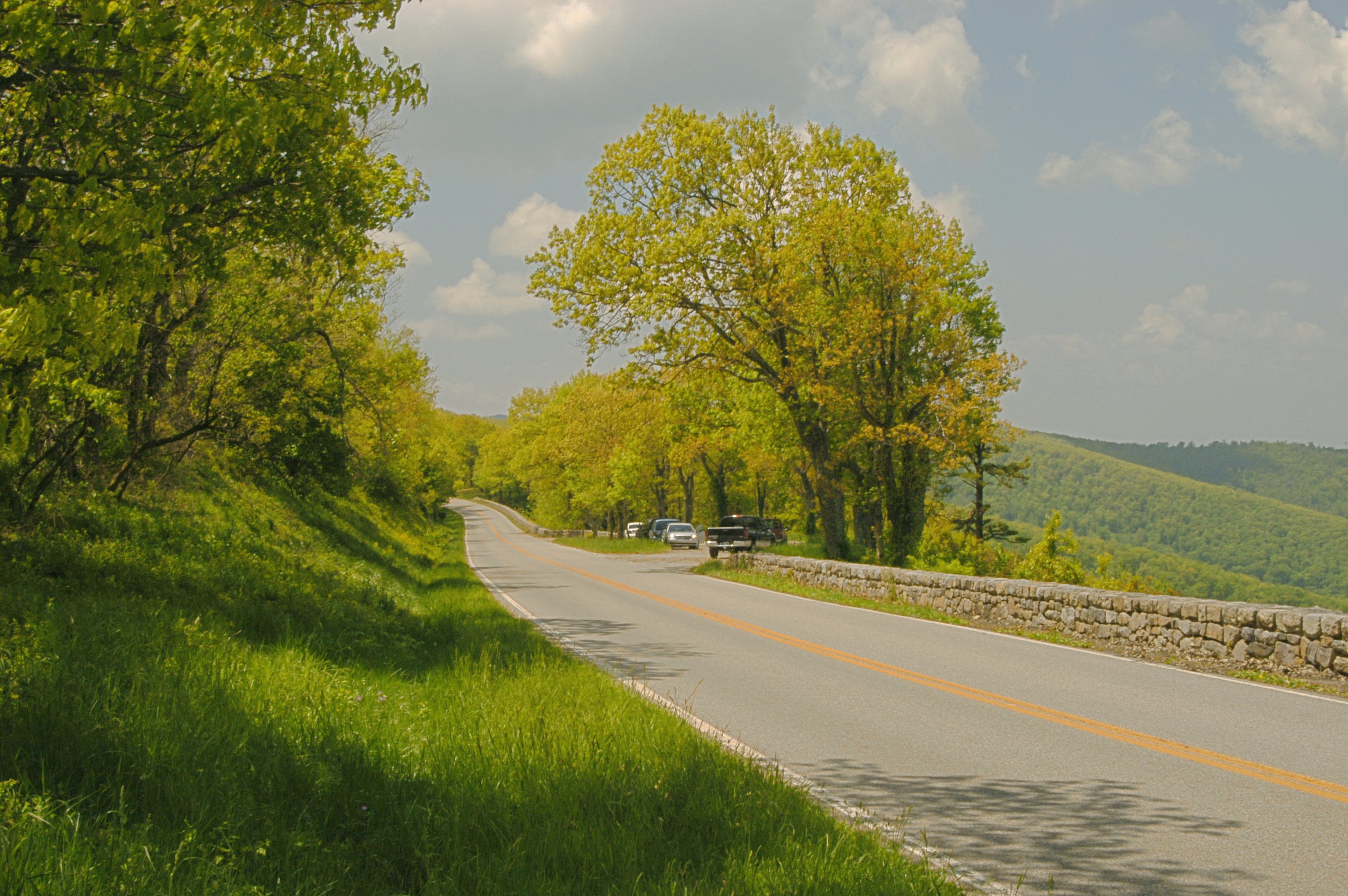
Skyline Drive enters the park at Front Royal in the north and exits at Rockfish Gap in the south, where it connects to the Blue Ridge Parkway. The 105 miles follow the ridgeline, climbing to over 4,000 feet at multiple points, providing overlooks at intervals of a mile or less. Seventy-five overlooks offer different perspectives on the same theme: the Blue Ridge receding into haze, the Shenandoah Valley spreading below, the forest stretching to the horizon. The drive takes three hours without stops; with stops it takes a day or more. The pace is contemplative - 35 mph speed limit, winding curves, no hurrying. The drive is the destination.
The Creation
The park was carved from populated land. Unlike Western parks created from federal territory, Shenandoah required acquiring privately owned farms, homesteads, and mountain settlements. Virginia condemned the land; residents were removed, often unwillingly. Approximately 500 families were displaced between 1935 and 1942. Their cemeteries remain; their foundations lie in the forest; their descendants maintain complicated feelings about the park that took their land. The story is rarely told at the visitor centers but is essential to understanding what Shenandoah is: land returned to forest through a process that dispossessed the people who had farmed it for generations.
The Forest
The mountains Shenandoah protects were largely cleared by the 1930s - logged, farmed, and grazed for two centuries. Old photographs show bare hillsides; today those hillsides are unbroken forest. Oak-hickory forest dominates lower elevations; northern hardwoods appear at higher points. Black bears, white-tailed deer, and wild turkeys are common; the ecosystem has recovered remarkably. But the recovery is not complete: the chestnuts that once dominated are gone, eliminated by blight; the hemlocks are dying from woolly adelgid; invasive species compete with natives. The forest is healing but not healed, functional but not original.
The Trail
The Appalachian Trail runs 101 miles through Shenandoah, following the ridgeline that Skyline Drive also traces. Thru-hikers pass through in spring and summer; day hikers explore from trailheads along the drive. Over 500 miles of trails penetrate the park beyond the AT, descending into hollows where streams cascade over rock shelves, ascending to rocky outcrops with 360-degree views. Old Rag Mountain offers the park's most popular (and strenuous) hike, a scramble over granite boulders to a summit with views in every direction. The hiking ranges from easy fire road walks to challenging rock scrambles. The trails remain where the roads cannot follow.
Visiting Shenandoah
Shenandoah National Park is located in the Blue Ridge Mountains of Virginia, with entrances at Front Royal (north), Thornton Gap, Swift Run Gap, and Rockfish Gap (south, connecting to Blue Ridge Parkway). Skyline Drive can be driven in three hours but rewards a full day or more. Entrance fees apply; annual passes are available. Lodging at Big Meadows and Skyland provides in-park overnight options. Camping is available at developed campgrounds and through backcountry permits. Fall foliage peaks in October and draws heavy traffic; weekdays offer fewer crowds. Spring brings wildflowers; summer brings green canopy; winter brings bare trees and long views. The experience is access to mountains without strenuous effort - the drive provides what hiking would otherwise require.
From the Air
Located at 38.53°N, 78.35°W along the crest of the Blue Ridge Mountains in Virginia. From altitude, Shenandoah appears as a long, narrow park tracing the mountain ridgeline - a strip of protected forest between the Shenandoah Valley to the west and the Virginia Piedmont to the east. Skyline Drive is visible as a thin line following the crest, its overlooks punctuating the route. The Blue Ridge continues south, the park ending where the Blue Ridge Parkway begins. The valley below is pastoral, the Piedmont rolling into haze. The Appalachians recede in parallel ridges to the west. What appears from altitude as continuous forest was cleared farmland within living memory - land reclaimed from settlement, healing into wilderness on mountains older than life on land.