The Middlegate Shoe Tree
On Highway 50, 'The Loneliest Road in America,' a cottonwood tree stood covered in thousands of shoes. Travelers crossing Nevada's empty center stopped to add their footwear to the branches - sneakers, boots, heels, children's shoes - until the tree was more shoe than leaf. The Middlegate Shoe Tree became a roadside attraction, a monument to American quirk in one of America's emptiest places. Then, on December 31, 2010, vandals cut the tree down. Outrage followed. But Nevada doesn't give up easily. Locals planted a new cottonwood nearby and began decorating it with shoes. The new Shoe Tree is growing, its branches accumulating footwear year by year. The tradition continues because traditions matter, especially in places where there's nothing else to mark the miles. The vandals took a tree. They couldn't take the idea.
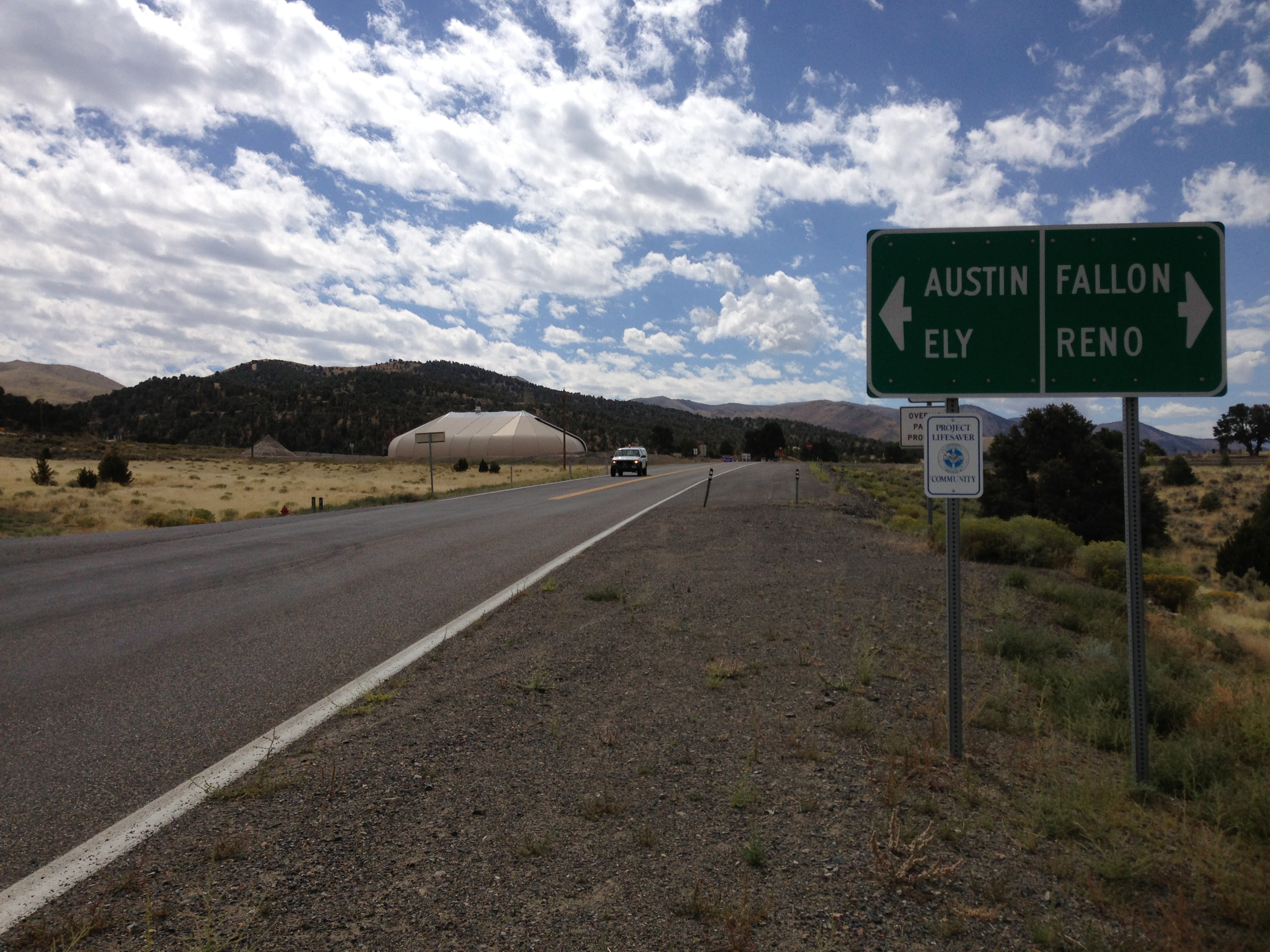
The Loneliest Road
Highway 50 crosses Nevada for 408 miles, through some of the emptiest terrain in the Lower 48. A 1986 Life magazine article dubbed it 'The Loneliest Road in America,' warning that motorists should have 'survival skills.' Nevada embraced the designation. The state printed 'survival guides' for drivers, stamping them at tiny towns along the route. The road passes through Austin, Eureka, Ely - old mining towns that barely survive. Between them: nothing. Basin and range, sagebrush, the occasional abandoned ranch. The landscape is beautiful in its emptiness. The Shoe Tree was something to stop for.
The Origin
No one knows exactly how the Shoe Tree tradition started. Some say a newlywed couple hung their wedding shoes on the tree; others credit drunk college students or a trucker's prank. The tree stood near Middlegate Station, a bar and gas station that serves as oasis for Highway 50 travelers. By the 1990s, the tree was famous - covered in thousands of shoes tied together by their laces, faded by sun, weathered by desert wind. Travelers stopped to photograph it, add their own shoes, and wonder at the accumulation. It was roadside America at its strangest and most sincere.
The Destruction
On New Year's Eve 2010, someone cut down the Shoe Tree. Investigators found chainsaw marks and tire tracks but never identified the vandals. The response was visceral. Newspaper editorials condemned the act. Locals mourned. The shoes - thousands of them, a decade's accumulation - lay in a pile on the desert floor. Some theorized the cutting was motivated by property disputes or environmental concerns; others suspected pure meanness. The tree was just a tree until someone destroyed it. Then it became a symbol of something - community, tradition, the strange joy of roadside attractions.
The Rebirth
Within months, locals planted a new cottonwood near the original stump. Shoes began appearing on its branches. The new tree is smaller, still growing, but the tradition has resumed. The pile of shoes from the original tree was eventually cleared, though some visitors took them as souvenirs. Middlegate Station still serves burgers and beer; the owner still directs travelers to the new tree. The Shoe Tree has become a phoenix - destroyed and reborn, proving that some ideas are harder to kill than trees. The shoes accumulate. The tradition continues.
Visiting the Shoe Tree
The Middlegate Shoe Tree (the new one) is located along Highway 50 near Middlegate Station, approximately 110 miles east of Reno, Nevada. The tree is visible from the highway; pull off safely to photograph or contribute shoes. Middlegate Station is adjacent - a good stop for food, beer, and restrooms on the long drive. Austin is 40 miles east; Fallon is 65 miles west. The nearest commercial airports are in Reno. Highway 50 requires planning - services are sparse, distances are long. Bring extra water, fuel, and shoes (to leave behind). The Loneliest Road experience is the point; the Shoe Tree is the highlight.
From the Air
Located at 39.40°N, 117.70°W along Highway 50 in central Nevada. From altitude, the Shoe Tree is invisible - a single tree in a landscape of sagebrush and mountains. Middlegate Station may be visible as a small cluster of buildings along the highway. The terrain is classic Basin and Range - parallel mountain ranges separated by broad valleys, desert vegetation, no population. Reno is 110 miles west. Ely is 160 miles east. The emptiness is total; Highway 50 is sometimes the only human mark visible in the landscape.