Sierra de Bahoruco National Park
Somewhere in the mountains of southwestern Dominican Republic, 361 meters below sea level, there is a hole. Not a cave, not a valley - a triangular depression 7 kilometers long and 2.5 kilometers wide, formed when an ancient cave system buckled under tectonic pressure and the ceiling simply fell in. Locals call it El Hoyo del Pelempito - Pelempito's Hole - and Dominicans sometimes compare it to the Grand Canyon, though the comparison misses the strangeness of the place. The Grand Canyon was carved by a river over millions of years. Pelempito collapsed. It sits inside Sierra de Bahoruco National Park, a 1,126-square-kilometer reserve on the Haitian border where the terrain changes so dramatically from coast to summit that walking from one end to the other is like crossing continents.
From Sea Level to the Clouds
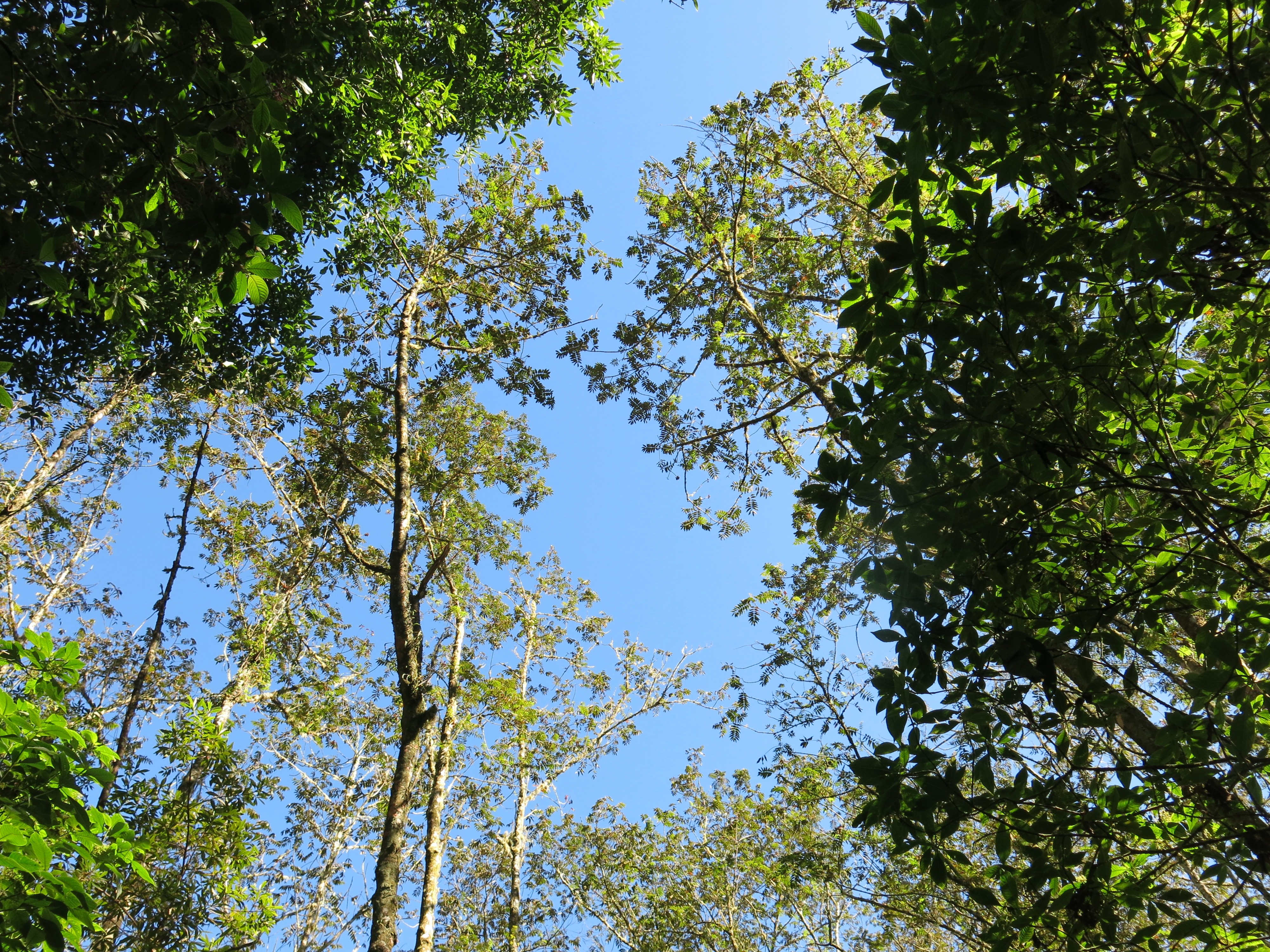
The park spans three Dominican provinces - Pedernales, Independencia, and Barahona - and shares a border with Haiti. Within that area, the landscape shifts through biomes that have no business existing side by side. At sea level, dry broadleaf forests bake under the Caribbean sun. Climb higher and the vegetation thickens into mixed forest, then pine stands that stretch across the mountain ridges. Near the center of the park, at the highest elevations, temperate rainforest takes over - a world of cool mist, mosses, and orchids, where the average temperature hovers around 18 degrees Celsius and annual rainfall ranges between 1,000 and 2,500 millimeters. The surrounding peaks of the Bahoruco Mountain Range rise above 1,800 meters, while Pelempito sits below them in its sunken triangle, its floor oscillating between 15 and 25 degrees. Together with neighboring Lake Enriquillo and Jaragua National Park, Sierra de Bahoruco forms the Jaragua-Bahoruco-Enriquillo Biosphere Reserve, designated by UNESCO on November 6, 2002.
Stone from the Deep Past
The Bahoruco Mountain Range tells its own geological story, written in limestone and volcanic rock. The upper layers are sedimentary - limestone and marlstone laid down during the Eocene and Pliocene eras, studded with fossilized algae from seas that vanished tens of millions of years ago. Below that foundation sits volcanic rock from the Caribbean tectonic plateau, the basaltic base that once erupted from the ocean floor. These two layers - the biological and the volcanic, the deposited and the erupted - stack atop each other like chapters from different books. El Hoyo del Pelempito is the most dramatic evidence of what happens when these layers interact with the forces beneath them. The cave systems that once ran through the limestone could not withstand the pressure of shifting tectonic plates, and millions of years ago they gave way, leaving a depression so deep and geometrically distinct that it looks artificial from the air.
Thirty Out of Thirty-Two
Hispaniola is home to 32 endemic bird species found nowhere else on Earth. Thirty of them live in Sierra de Bahoruco. That statistic alone has made the park one of the Caribbean's most important birding destinations. The roster includes species that birders travel thousands of miles to see: the bay-breasted cuckoo, increasingly rare and difficult to spot; the Hispaniolan amazon, a parrot that nests in the park's forests; the least poorwill, a tiny nightjar; and the La Selle thrush, which haunts the higher-elevation forests near the Haitian border. White-necked crows patrol the canopy, while western chat-tanagers flash through the understory. Raptors are here too - Stygian owls hunting after dark and sharp-shinned hawks circling the ridgelines. The park's range of altitudes and biomes is what allows such concentration: coastal dry forest species and montane cloud forest species exist within the same protected boundary, stacked vertically rather than spread horizontally.
The Bay the Eagles Named
Southwest of the main park, the Bahoruco Peninsula opens onto Bahia de las Aguilas - the Bay of Eagles. The bay stretches 8.5 kilometers along the coast, with 5.4 kilometers of unbroken beach at its center. It is part of the broader biosphere reserve and heavily protected, not for its sand but for what lives around it. The Hispaniolan solenodon, a venomous insectivore that looks like a large shrew and dates back to the age of dinosaurs, survives in the coastal scrub here. So does the hutia - a chunky, cat-sized rodent that the Lucayan people on nearby islands named their whole archipelago after. Rhinoceros iguanas bask on the rocks, their horned snouts and prehistoric profiles making them look exactly like what they are: survivors from a much older world. The beach itself remains largely undeveloped, a circumstance that owes less to planning than to the remoteness that has always defined this corner of the Dominican Republic.
A Park Born by Decree
Sierra de Bahoruco became a national park in 1983, established by Presidential Decree No. 1315/83 during the administration of Salvador Jorge Blanco. The decree protected an area that had been quietly extraordinary for millennia but increasingly pressured by logging and agricultural encroachment. The biosphere reserve designation in 2002 added an international layer of recognition, linking Sierra de Bahoruco with Jaragua and Lake Enriquillo into a single conservation unit. Yet protection on paper and protection on the ground are never quite the same thing, especially in a region where the border with Haiti runs through the park and where poverty on both sides of that border creates pressures that decrees cannot legislate away. What the park preserves is not just biodiversity but a cross-section of Caribbean natural history - from volcanic basement rock to Eocene limestone, from dry coastal forest to dripping cloud forest, from ancient solenodons to endemic birds found in no other patch of forest on the planet.
From the Air
Located at 18.16N, 71.50W in southwestern Dominican Republic, bordering Haiti. The park covers approximately 1,126 km2 across the Bahoruco Mountain Range, with peaks exceeding 1,800 meters. El Hoyo del Pelempito is visible from the air as a distinctive triangular depression. Lake Enriquillo, the Caribbean's largest lake and lowest point, lies to the north. Bahia de las Aguilas stretches along the southwestern coast. Nearest airports: Silvio Petirrossi/Maria Montez International (MDAB) in Barahona; Las Americas International (MDSD) in Santo Domingo is the major hub. Fly at 5,000-8,000 feet for best views of the biome transitions from coast to cloud forest. The Haitian border runs through the western portion of the park. Clear mornings offer best visibility; afternoon cloud buildup common at higher elevations.