Sitabuldi Fort
"Tell him to charge at his peril," Colonel Scott ordered when Captain Fitzgerald begged one last time to lead his cavalry against the closing Maratha lines. "At my peril be it," Fitzgerald replied, and spurred his horse forward into the smoke. That exchange, shouted across the rocky hilltop of Sitabuldi on 27 November 1817, captures something essential about this fort perched above Nagpur: it has always been a place where desperate decisions carried outsized consequences. Today the twin hillocks sit in the commercial heart of Maharashtra's third-largest city, hemmed in by markets and traffic, a military installation where the Indian Army's flags still fly above walls that once ran with blood.
Two Hills, Two Names
Sitabuldi Fort straddles a pair of rocky hillocks in central Nagpur: Mothi Tekdi, the "big hill," and Choti Tekdi, the "small hill" in Marathi. Tradition traces the name to two Yadava brothers, Shitlaprasad and Badriprasad Gawali, who ruled the area in the 17th century. Their domain became "Shitlabadri," which the British rendered as "Seetabuldee" before time softened it into the modern "Sitabuldi." Another theory links the name to the Marathi words for grain and a small mound, a reference to the storage function the hillock served during Maratha rule. Either way, the hills were barren and rocky when they entered history, too hard to entrench, too strategic to ignore. From their crests you could see the surrounding plains in every direction, and whoever held them controlled access to the city below.
The Night the Arabs Charged
By November 1817, the Maratha confederacy was fracturing under British pressure, but it was not yet broken. Mudhoji II Bhonsle, known as Appa Sahib, had ascended the throne of Nagpur just a year earlier. When the Peshwa sent him a ceremonial robe commissioning him as Senapati of the Maratha armies, Appa Sahib accepted it publicly, mounted his elephant, and paraded through his capital in full military pageantry. The British Resident, Richard Jenkins, watched with alarm. Within days, markets were closed to English troops and communication lines were severed. On the afternoon of 25 November, some 800 British soldiers under Lieutenant Colonel Scott scrambled onto the twin hills just ahead of Arab mercenaries hired by the Maratha army. The Arabs opened fire that evening and pressed their attacks through the night, wave after wave up the rocky slopes. Captain Saddle was killed defending Choti Tekdi with 300 men and a single six-pounder gun. By dawn on the 27th, the exhausted remnants of the 24th Regiment had been pulled back, and the Arabs stormed the lower hill, turning the captured gun against the British position above.
Fitzgerald's Charge
With Maratha cavalry closing from all sides and Arab fighters ransacking the camp below, the situation looked terminal. Captain Fitzgerald had been requesting permission to charge repeatedly, and each time Scott refused. When the final request came, Scott's grudging consent carried the weight of a man who had run out of options. Fitzgerald's cavalry swept into the enemy lines, killing infantry and capturing two guns. The effect was electric. Just then, an ammunition store exploded among the Arabs on the lower hill, and the reinvigorated British infantry charged downward in pursuit. Colonel Smith's cavalry completed the rout by striking the Arabs in the flank. By noon, it was over. The British counted 367 killed and wounded, including 16 officers. The treaty that followed, signed on 6 January 1818, ceded the Sitabuldi hills and surrounding land to British control. Article 7 specified that "Military works" would be erected as "deemed necessary," and so the fort that stands today took shape on ground stained by the battle that justified its construction.
Garrison and City
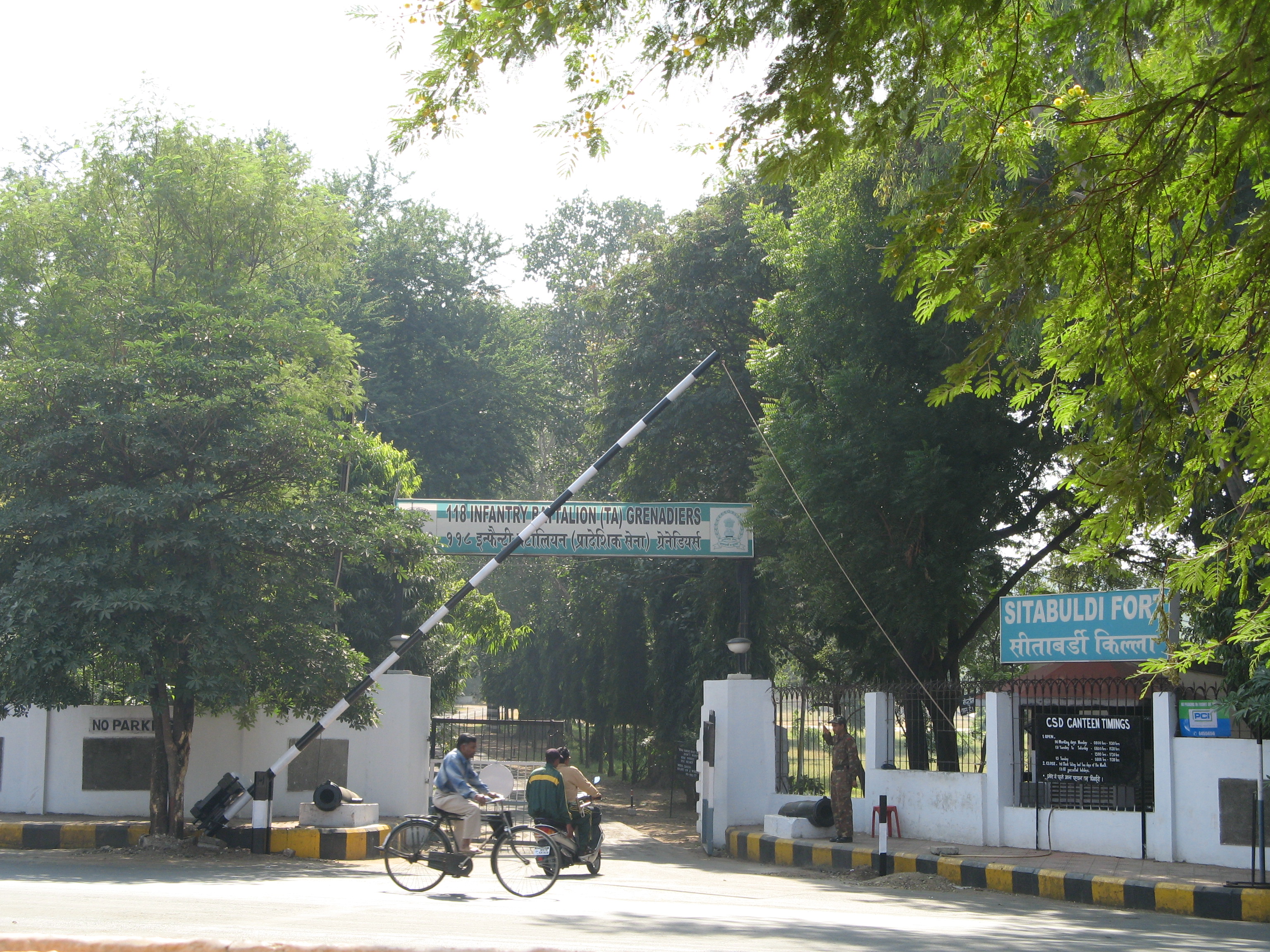
Under the British Raj, Sitabuldi became the anchor of military power south of the Narmada River. The flat ground north of the hills was leveled for an arsenal, with quarters for troops, stables for cavalry, parade grounds, and bazaars spreading into what is now the Chhaoni area. The houses that had sheltered Arab attackers during the battle were demolished. No reconstruction was allowed, creating clear fields of fire that reshaped the city's geography permanently. When Raghuji III, the last Bhonsle ruler of Nagpur, died on 11 December 1853 at the age of 47, minute guns fired from Sitabuldi Fort marked each year of his life. The fort served as home to the Indian Army's 118th Infantry Battalion (Territorial Army) Grenadiers until 2019, when the unit relocated to Bhusawal to make way for a new military headquarters. Now the Army opens the fort to the public on Independence Day, and the commercial district that bears its name buzzes with the energy of a city that has long since outgrown the hillock at its center.
From the Air
Located at 21.148N, 79.085E in the heart of Nagpur, Maharashtra. The twin hillocks of Sitabuldi are visible from moderate altitude as a raised area amid the dense urban grid. Nearest major airport is Dr. Babasaheb Ambedkar International Airport (VANP), approximately 6 km southwest. Nagpur Railway Station lies just south of the fort. Best viewed at 3,000-5,000 feet AGL in clear conditions. The Nag River is a useful navigation reference flowing through the city.