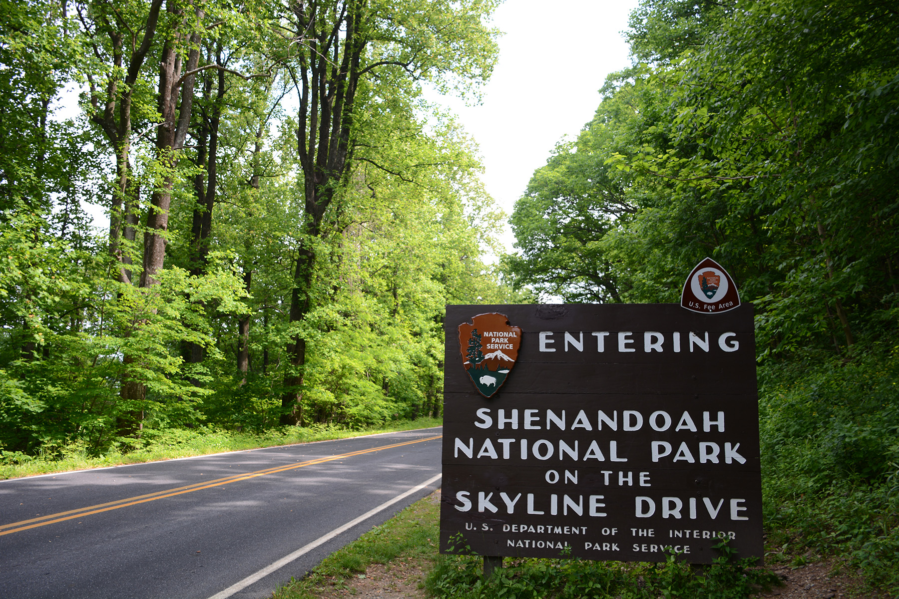
Skyline Drive
They almost called it Hoover Highway. In 1929, President Herbert Hoover -- who kept a summer fishing retreat at Rapidan Camp just below these ridges -- pushed for a scenic road along the crest of Virginia's Blue Ridge Mountains. The name thankfully did not stick, but the vision did. Skyline Drive became something far grander than a presidential vanity project: 105 miles of two-lane road threading the backbone of Shenandoah National Park, offering 75 overlooks where the Shenandoah Valley unfolds to the west and the rolling Piedmont stretches to the east. It is the only public road through the park, and for nearly a century it has been drawing travelers who want to feel like they are driving along the roof of Virginia.
A Road Born from Drought
The idea for a ridgeline drive predates the park itself. In 1924, when planners first envisioned a national park in Virginia's Blue Ridge, the centerpiece was always going to be a "sky-line drive" -- a road that would let visitors take in views of the surrounding countryside without ever descending from the heights. Field surveys began in January 1931, and the official groundbreaking followed that July. The timing was devastating and fortuitous in equal measure. A severe drought in 1930 had crushed local farmers and apple pickers. The funds for the first stretch of road came from the Federal Drought Relief Administration, putting those struggling workers on payrolls. When the Civilian Conservation Corps formed in 1933, its crews took over much of the construction. The first section, from Swift Run Gap to Thornton Gap, opened in 1934. The road reached Front Royal in 1936 and pushed south to Jarman Gap by 1939. The final segment to Rockfish Gap, originally built as part of the Blue Ridge Parkway, was folded into Skyline Drive in 1961.
Seventy-Five Windows on Two Worlds
Drive Skyline from north to south and the mileposts count upward from 0 to 105, marking your progress along the mountain crest. At each of the 75 overlooks, the landscape splits into two distinct worlds. Look west and the Shenandoah Valley spreads out in a patchwork of farms, towns, and the wandering silver thread of the Shenandoah River. Look east and the softer hills of the Piedmont roll away toward the distant coastal plain. The road climbs to its highest elevation near Skyland, where the Skyland Resort has offered food and lodging since before the park existed. From Hawksbill Gap, a trail leads to Hawksbill Mountain, the highest peak in the park. The Appalachian Trail parallels much of the drive, and hikers frequently cross the road, their packs swaying as they step from one ridgeline world back into forest.
The Slow Lane
Skyline Drive enforces patience. The speed limit is strictly held, and park rangers make sure of it. Deer materialize from the tree line without warning. Black bears amble across the pavement. Wild turkeys strut along the shoulder as if the road were built for their convenience. Cyclists and horseback riders share the lanes. From dusk to dawn between November and early January, the road closes entirely so rangers can control illegal hunting. Snow and ice shut it down at other times. The drive does not accommodate anyone in a hurry, and that is exactly the point. In autumn, when the hardwood forest erupts into reds, oranges, and golds, traffic slows to a crawl as leaf-peepers jockey for overlook parking spots. The fall color display is one of the most celebrated in the eastern United States, drawing visitors from across the country to watch the Blue Ridge set itself on fire.
From Parkway to Landmark
What the CCC built endures. Skyline Drive was added to the National Register of Historic Places in 1997, designated a National Scenic Byway in 2005, and earned National Historic Landmark status in 2008 -- recognized for its pioneering role in bringing the national park experience to the eastern United States. At its southern terminus in Rockfish Gap, the road hands off to the Blue Ridge Parkway, which continues another 469 miles south to the Great Smoky Mountains. Together, the two roads form one of the longest linear parks in the world. But Skyline Drive remains distinct: a road conceived before the park around it even existed, built by workers desperate for wages during America's worst economic crisis, and maintained ever since as proof that a simple two-lane road, placed on the right ridgeline, can be a national treasure.
From the Air
Skyline Drive runs along the crest of the Blue Ridge Mountains at approximately 38.55N, 78.46W. The road's highest point is near Skyland (approximately 3,680 feet MSL). From the air, the road is visible as a thin ribbon tracing the ridgeline of Shenandoah National Park. Nearest airports include Shenandoah Valley Regional (KSHD) to the west and Charlottesville-Albemarle (KCHO) to the southeast. Mountain weather can change rapidly; expect turbulence along the ridgelines and reduced visibility in clouds that frequently hug the peaks.