Slate Islands
Roughly 450 million years ago, a meteorite slammed into what is now the northern shore of Lake Superior and blasted a crater 32 kilometers wide. The violence was unimaginable -- rock shattered into breccia, volcanic pipes formed, and shatter cones radiated outward through the bedrock like frozen shockwaves. Today, what remains of that crater is a quiet archipelago of fifteen islands where woodland caribou pick their way along shorelines of twisted rock and lake trout cruise waters so protected that commercial fishing has been banned to preserve one of the last native stocks in Lake Superior. The Slate Islands are a place where deep time and deep water intersect, and where the evidence of cosmic catastrophe has become a sanctuary for life.
Written in Stone
The geological story of the Slate Islands reads like a textbook on planetary violence. The impact crater, roughly 32 kilometers in diameter, dates to the Middle Ordovician period, approximately 450 million years ago. The islands themselves are the eroded remnants of the crater's central uplift -- the rebound of rock that occurs when the ground snaps back after absorbing the energy of impact. Shatter cones, the distinctive cone-shaped fracture patterns that form only under the extreme pressures of meteorite strikes, are found throughout the bedrock. Breccia-filled volcanic pipes called diatremes criss-cross the older rock as dikes and sills, relics of the gaseous explosions that followed the impact. The Slate Islands may be part of a proposed Ordovician meteor event, a cluster of impacts that occurred roughly simultaneously 469 million years ago, alongside the Decorah crater in Iowa, the Ames crater in Oklahoma, and the Rock Elm crater in Wisconsin.
Caribou on the Edge
The Slate Islands hold Ontario's largest herd of boreal woodland caribou, and their story is a textbook case of island biogeography. Caribou first reached the islands across winter ice bridges from the mainland, most recently around 1907. They found an archipelago with no moose, no white-tailed deer, no red squirrels, no grouse -- species present on the adjacent mainland but absent from the islands. With few predators and no competition, the caribou thrived. Before the 1990s, the herd reached an estimated 650 animals, the highest population density of caribou anywhere in the world. Then the food ran out. A die-off in 1990 reduced the herd to roughly 100. Wolves crossed the ice in the early 1990s and preyed heavily on the survivors, but they mysteriously disappeared a few years later. Wolves returned again around 2015, observed from the air and confirmed by scat. The herd persists, fluctuating around 100 to 200 animals, living out the cycles of boom and bust that island ecosystems make stark.
A Lake Within a Lake
The archipelago consists of two main islands -- Patterson and Mortimer -- along with five smaller islands (McColl, Edmonds, Bowes, Delaute, and Dupuis) and numerous islets. The nearby Leadman Group to the east is often considered part of the chain, adding Leadman, Cape, Spar, and Fish Islands to the count. The waters surrounding the Slate Islands have been closed to commercial fishing to protect one of the last native stocks of lake trout remaining in Lake Superior. The islands serve as a brood stock source for the Dorion Fish Hatchery, which raises fingerlings that are planted back into the lake to restore the broader fishery. The botanical life is equally distinctive: Dryas drummondii, an arctic-alpine plant, grows here despite not being found again for 1,600 kilometers to the north, a relic of the cooler climate that prevailed when the glaciers were closer.
Provincial Park at the Edge of Reach
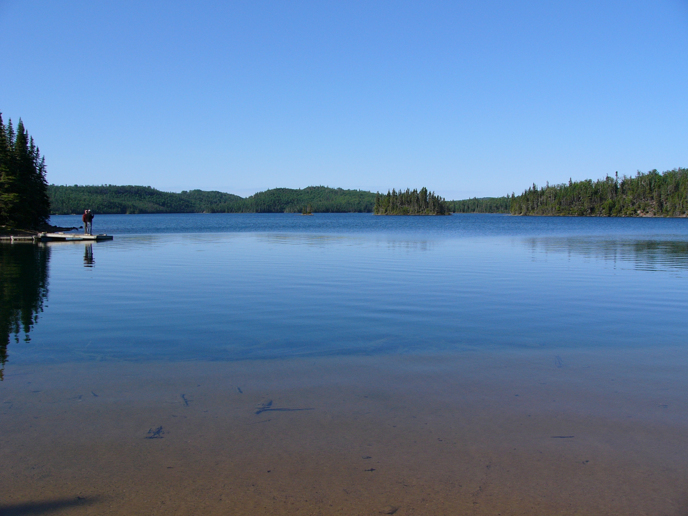
In 1985, the Ontario government established the Slate Islands as a natural environment provincial park, protecting the biodiversity and the geological record while limiting development. It is a non-operating park, meaning there are no paved roads, no ranger stations staffed year-round, and no concessions. What exists is minimal: a dock, a warm-up shelter, and five backcountry campsites. Getting there requires a boat or a floatplane from the mainland town of Terrace Bay, about 13 kilometers to the north across open Lake Superior water. Permitted activities include boating, camping, canoeing, fishing, and hiking. The isolation is the draw. Kayakers who make the crossing find themselves on shores shaped by forces that predate every living thing on the planet, watching caribou browse on lichen-covered rock that was once the floor of an impact crater.
From the Air
The Slate Islands archipelago sits in Lake Superior at approximately 48.66N, 87.00W, about 13 km south of Terrace Bay, Ontario. From the air, the circular arrangement of the islands hints at the impact crater origin -- look for the ring-like pattern of Patterson and Mortimer islands with smaller islands scattered around them. The archipelago is clearly visible as a distinct island group separated from the mainland by open water. Recommended viewing altitude: 3,000-6,000 feet AGL to appreciate the crater structure. Nearest airports: Marathon Aerodrome (CYSP) approximately 40nm east, Thunder Bay International (CYQT) approximately 130nm west.