The Courthouse That Outlasted Its County Seat
The courthouse cost $13,000 to build in 1857, a staggering sum for a town that barely registered on California's map. But Snelling was not thinking small. Named for Charles Snelling, who had established a hotel and ranch here in 1851, the settlement along the Merced River had just been designated the county seat of the newly carved Merced County. The two-story building rose among the oaks and grasslands of the Central Valley foothills, a declaration in wood and plaster that this place intended to matter. It still stands today, long after the county government moved on, long after the gold dredges fell silent, long after most of the people left.
Born from a Bigger County
Before Snelling existed as a town, this stretch of the Merced River belonged to the sprawling Mariposa County, a territory so vast it was nearly ungovernable. In 1855, the California legislature carved Merced County from its western reaches, and the new county needed a seat. Snelling, already a natural crossroads where miners heading to the Sierra Nevada foothills stopped for provisions and rest, won the designation. Charles Snelling's hotel had given the settlement its name and its identity as a place of hospitality and commerce. By 1856 the town was formally laid out, and by 1857 the courthouse was finished. For fifteen years Snelling served as the center of local government, its courthouse hosting the trials, land disputes, and civic proceedings of a county still finding its footing.
Gold in the Gravel
The Gold Rush brought people to Snelling, but the gold itself kept them coming back for decades. Placer miners worked the Merced River's sandbars and terraces during the initial rush, panning and sluicing for flakes and nuggets washed down from the Sierra. When the easy pickings thinned, the dredges arrived. Starting in 1907, massive floating machines chewed through the riverbed gravels, separating gold from stone on an industrial scale. Dredging continued in cycles through 1952, pausing during wartime and resuming when economics allowed. The total haul was staggering: an estimated $17 million in gold extracted from the ground around Snelling. The landscape still bears the scars of that work, piles of tailings and reworked earth stretching along the river corridor like a geologic record of ambition.
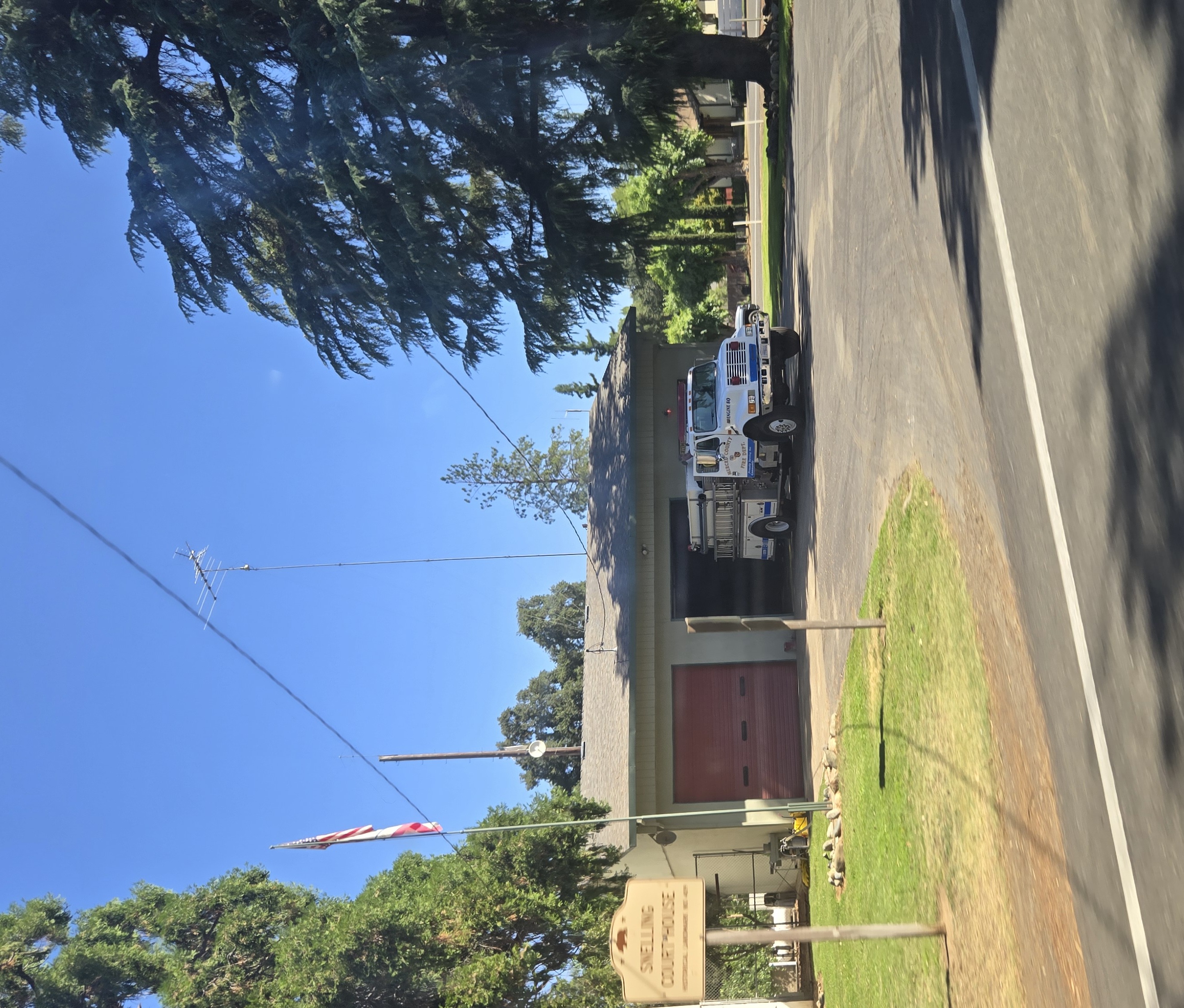
A County Seat Lost, a Courthouse Kept
In 1872, Merced County moved its seat of government to the growing city of Merced, better positioned along the Central Pacific Railroad. Snelling might have faded entirely, but the courthouse refused to become irrelevant. Courts continued to convene in the building for over a century after the county seat departed, with justice proceedings held there into the mid-1970s. The structure earned recognition as California Historical Landmark Number 409, its plaque dedicated in 1930 by the Yosemite Parlor of the Native Sons of the Golden West. After extensive renovation, the courthouse opened as a museum dedicated to preserving the history of early Merced County, the communities of Snelling, Hopeton, and Merced Falls, and the pioneers who shaped this part of the Central Valley.
A Town That Stayed Small
Snelling never grew into a city. The 2020 census counted 238 residents across 96 households, a population that would fit comfortably in a large lecture hall. State Route 59 runs through town before abruptly ending at the Snelling city line, meeting County Routes J59 and J16 at a three-way intersection that sends travelers toward La Grange, Hornitos, or back to Merced. One elementary school, the Snelling-Merced Falls Elementary, serves children from kindergarten through eighth grade with an enrollment of roughly 56 students. The closest high school is a fifteen-minute drive away in Merced. Yet this tiny community sits just seventeen minutes from UC Merced, the newest campus in the University of California system. Snelling endures the way small Western towns do: quietly, without apology, rooted to the land and the river that gave it a reason to exist in the first place.
From the Air
Snelling sits at 37.52°N, 120.44°W along the Merced River in the Central Valley foothills of California. From the air, look for the distinctive tailings piles along the river from decades of gold dredging. The town is a small cluster of buildings where State Route 59 terminates. Castle Airport (KMER) in Atwater is approximately 15 nm to the southwest. Merced Regional Airport (KMCE) is about 12 nm south. Best viewed at 3,000-5,000 ft AGL for context of the river corridor and surrounding ranch land.