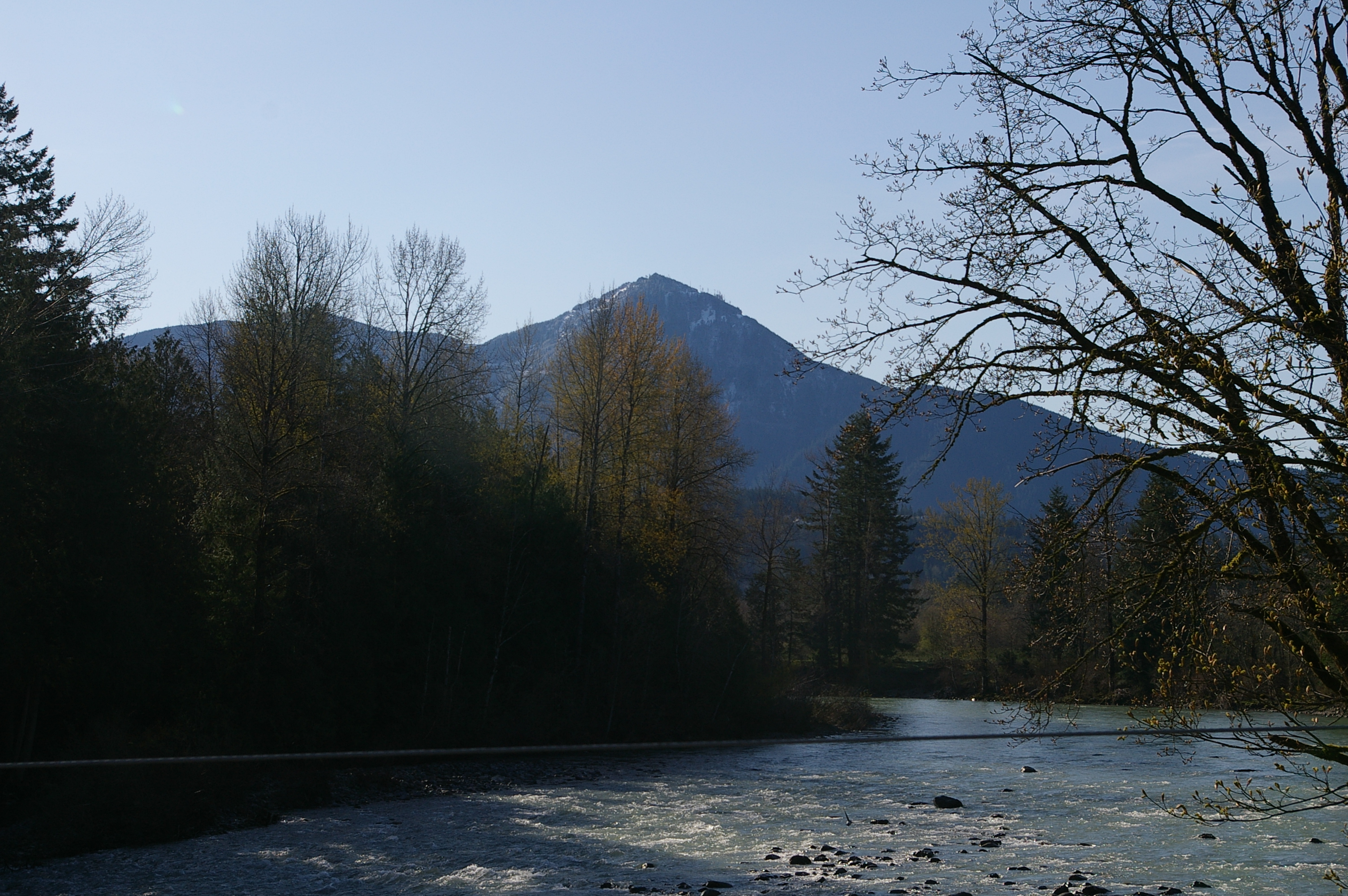
Snoqualmie River
Fans of Twin Peaks know the waterfall before they know the river. That thundering cascade David Lynch filmed for his opening credits is Snoqualmie Falls, a 268-foot curtain of whitewater that draws over a million visitors a year. But the falls are just one dramatic moment in a 45-mile journey that begins as snowmelt trickling through the Alpine Lakes Wilderness and ends where the Snoqualmie merges with the Skykomish River to become the Snohomish, draining into Puget Sound at Everett. Between those endpoints lies a landscape of old-growth stumps and second-growth forest, whitewater canyons and flat dairy country, small towns whose roads still vanish under floodwater several times a year.
Three Forks, Three Personalities
The Snoqualmie begins not as one stream but three. The South Fork, 31 miles long, drops out of tiny Source Lake and tumbles over at least six waterfalls on its way down, including the popular Twin Falls at 135 feet. The Middle Fork stretches 41 miles through a valley that was heavily logged from 1923 through the 1970s; old railroad grades from the North Bend Timber Company still line its banks, remnants of operations that ran from 1923 to 1941. The North Fork, 28 miles long, plunges over 200-foot Kanim Falls almost immediately after leaving its headwater lake, then threads a canyon near Ernie's Grove where Fantastic Falls hides among the rocks. All three forks converge near the town of North Bend, and their combined waters rush toward the lip of Snoqualmie Falls just downstream.
The Waterfall Everyone Knows
At 268 feet, Snoqualmie Falls is the most-visited waterfall in Washington state. The Snoqualmie people have considered it a sacred site for centuries, a place of spiritual power long before it became a tourist destination or a television backdrop. When Lynch chose the falls and the Salish Lodge perched on its rim as the visual signature of Twin Peaks in 1990, he was tapping into something the landscape already possessed: an atmosphere of beauty laced with something unsettling. Beyond the main falls, the river system harbors a constellation of lesser-known cascades. Kanim Falls on the North Fork drops 200 feet. Nellie Falls on the Middle Fork plunges 150 feet. Franklin Falls on the South Fork matches Twin Falls at 135 feet. Kayakers and rafters work the stretches between these drops, navigating runs graded from Class II to Class V-plus.
A Valley That Floods by Design
The Snoqualmie Valley floods. Not occasionally, not catastrophically, but regularly, predictably, the way a river does when it flows through a broad floodplain hemmed in by the Cascades on one side and the Puget Lowland on the other. Multiple flood events hit each year, swamping farmland and closing low-lying roads. During the worst episodes, in 1990, 2006, 2009, and 2020, all road access to the towns of Carnation and Duvall was severed entirely. Six USGS streamgages monitor the river's moods, feeding data to the National Weather Service for flood forecasting. In 2005, the Army Corps of Engineers completed the controversial Snoqualmie Flood Reduction Project, widening the river channel just above the falls to ease pressure on the town of Snoqualmie. The farming communities downstream have learned to coexist with the water, treating annual floods less as disasters and more as the cost of living in some of the richest agricultural land in King County.
Wilderness at the Headwaters
The Snoqualmie's headwaters originate in the Alpine Lakes Wilderness, a rugged expanse of granite peaks and subalpine tarns straddling the Cascade crest. The upper Middle Fork, Taylor River, and Pratt River valleys all lie within the wilderness boundary, and in 2007 a proposal sought to expand that boundary further to include the Pratt River valley and grant the Pratt National Wild and Scenic River status. The Middle Fork Valley, accessible in winter thanks to its relatively low elevation and proximity to Seattle, draws hikers, climbers, and backcountry skiers year-round. A major road improvement project from 2014 to 2016 extended pavement by 9.7 miles along the old North Bend Timber Company railroad grade, opening deeper access into the valley while preserving the historic character of the route.
River Towns in a Row
Below the falls, the Snoqualmie straightens and slows, winding north through a string of small towns that read like stations on a rural branch line: Fall City, Carnation, Duvall. Each sits where a tributary enters or the valley widens, each shaped by the river's generosity and its occasional fury. At Fall City, the Raging River joins from the east. At Carnation, the Tolt River adds its flow. Past Duvall, the Snoqualmie meets the Skykomish near Monroe to form the Snohomish, which carries the combined waters the last miles to Puget Sound. From the air, the whole system reads like a diagram of how Cascade snowmelt becomes tidewater, the green thread of the river stitching together wilderness, farmland, and suburb on its way to the sea.
From the Air
The Snoqualmie River is visible from altitude as a winding green corridor running roughly north from North Bend (47.50N, 121.79W) through the farming towns of Fall City, Carnation, and Duvall before merging with the Skykomish near Monroe (47.86N, 121.97W). Snoqualmie Falls (47.54N, 121.84W) is identifiable by the mist plume and the Salish Lodge on the rim. Best viewed at 3,000-5,000 feet AGL. Nearest airports include Snoqualmie Valley Airport (no ICAO) and Harvey Field (S43) near Snohomish. Seattle-Tacoma International (KSEA) is approximately 30 miles southwest.