Sonnenhügel
Beneath the Gertrudenberg lies a 900-meter network of branching tunnels that nobody talks much about. They were quarried out beginning in the 14th century, when local crews dug into the hill for stone. The legends came later. In the spring of 1945, several thousand people sheltered in these caverns from the Allied bombs falling on Osnabrück above. Today the Sonnenhügel district sits quietly on top of all this - a residential quarter on the city's north edge, the kind of neighborhood where most visitors never imagine what runs underneath.
Outside the Old Gates
The Schwedenplan, Osnabrück's oldest surviving map, was drawn in 1633 during the Thirty Years' War. On it, Sonnenhügel does not exist - the area sits outside the Hasetor, beyond the medieval city wall, with the Gertrudenberg rising sharply just to the south. The hill held a monastery from the 12th century onward, founded for nuns. Its elevation was strategically useful: clear sightlines over the city below, terrain well-suited to garrisons. In the 19th century the city pushed outward. In 1868 an Irrenanstalt - a term that would today be considered cruel, but which then simply meant an asylum for the mentally ill - was built on the Gertrudenberg. A similar institution went up on Knollstraße four years earlier. The hill that had once held nuns and soldiers became a place of confinement of a different kind.
Two Names, One Hill
The district's name is a small puzzle. Sonnenhügel - sun hill - refers to a slight rise around Hügelstraße in the north of the district, nowhere near the imposing 97-meter Gertrudenberg in the south. The Gertrudenberg has nothing to do with the nomenclature. You can live here for years and never quite work out which hill the name commemorates. The district covers 3.19 square kilometers and held 8,782 residents as of April 2012. Nearly fifty-nine percent of households were single-person, and the 40-to-65 age bracket dominated - more than three thousand residents in that band by the end of 2011. Sonnenhügel is a settled, mid-life quarter, popular with families who want city access without city pressure.
The British Are Leaving
For decades, Sonnenhügel had the second-highest proportion of British families of any Osnabrück district, after Dodesheide. The reason was geography: Osnabrück hosted the largest British Army garrison outside the United Kingdom, and officers' families settled in the leafy north of the city. Then the budget cuts came. The British Armed Forces headquarters here closed, the troops were withdrawn in 2008, and a great deal of housing in northern Sonnenhügel suddenly came back onto the German market. The departure ended a presence that had begun with the British military government after the war and lasted more than sixty years.
Pools, Ice, and a BMX Course
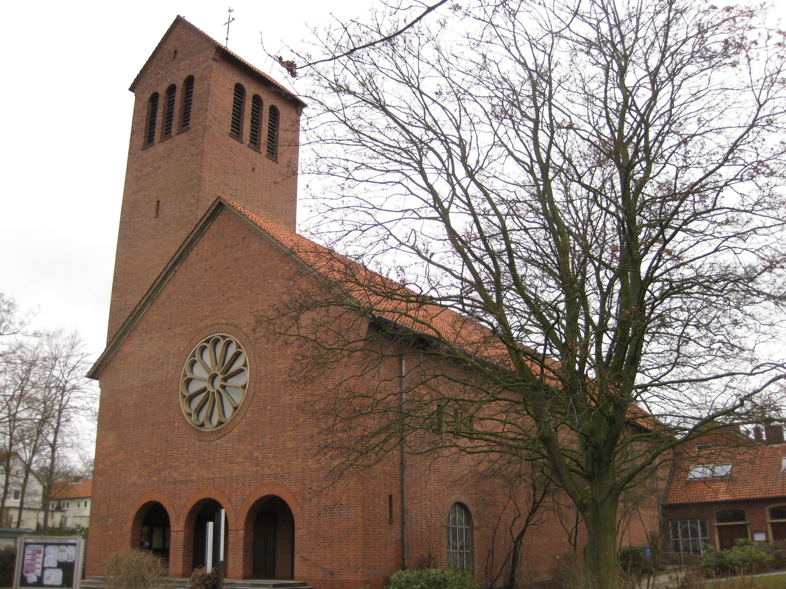
The Nettebad in the north of the district reopened after 2005 renovations as one of the most popular swim-and-wellness complexes in the wider region. It runs competition lanes inside and out, a slide park, recreation pools and a sauna complex. Directly opposite, on Verther Landstraße, is the Eissportcenter Osnabrück - an ice rink in winter that converts to a roller-skating surface for summer. Behind it sits a BMX course. The Bürgerpark - the citizens' park - and the Hasefriedhof cemetery give the district its green lungs. The Greek Orthodox Church took over the former Reformed Protestant Erlöserkirche on Moorlandstraße in May 2010, adding another quiet line to the long history of which faiths use which buildings on this hill.
The Schools and the President
Sonnenhügel is school country. The Albert-Schweitzer-Schule, a municipal primary on Lerchenstraße, has been there since 1956 and shares its grounds with the Heilig-Geist-Schule, a Catholic primary founded in 1960 whose pupils take part in the traditional Steckenpferdreiten parade every year. A few hundred meters away is the Schulzentrum Sonnenhügel - the secondary school complex housing the Ernst-Moritz-Arndt-Gymnasium, the Wittekind-Realschule, and the Felix-Nussbaum-Schule. Christian Wulff, who served as Federal President of Germany from 2010 to 2012, was educated at the Ernst-Moritz-Arndt-Gymnasium back when it stood on Lotterstraße. A serious fire in February 2001 forced a major renovation of the building complex. The neighborhood quietly produced a head of state - and quietly carries on.
From the Air
Sonnenhügel lies at 52.29°N, 8.04°E in the north of Osnabrück, just above the Innenstadt. Recommended viewing altitude: 2,500-4,000 ft AGL. The Gertrudenberg rises 97 m on the south side of the district and is visible as a small forested rise; the Bürgerpark adjoins it. The Hase river flows along the southern edge. Nearest airport: Münster Osnabrück International (EDDG / FMO), about 33 km southwest.