South Mountain Reservation
Frederick Law Olmsted called it some of the most beautiful and promising terrain he had ever seen anywhere. That was in the 1890s, when the hills between the first and second ridges of the Watchung Mountains still harbored wolves and bears, and the streams running through the hemlocks still teemed with trout. Today those 2,000-plus acres survive as South Mountain Reservation, an improbable stretch of wild woodland wedged into the dense suburban fabric of Essex County, New Jersey, just twelve miles west of Manhattan.
Olmsted's Wild Garden
The Olmsted Brothers firm, which took over the project after Frederick Law Olmsted himself grew too frail to manage it, made a deliberate choice: keep South Mountain wild. Unlike Central Park or Prospect Park, where the Olmsted vision imposed pastoral order on the landscape, the reservation was preserved in its natural state. Hardwood forests canopy the ridgelines. Tall hemlocks tower above creeks and ponds. Hemlock Falls drops through a mossy ravine, and Blackrock Falls tumbles over dark volcanic rock nearby. The trails that thread through this terrain were largely built by Civilian Conservation Corps crews during the 1930s, their stonework still visible in footbridges and shelters that have weathered nearly a century of northeastern winters. Land purchases began in 1895, but untangling the property deeds took a full decade before the reservation could be assembled.
Beacon Fires on the Ridge
Long before landscape architects arrived, the mountain's high ground served a more urgent purpose. Washington Rock, a Revolutionary War historic site within the reservation, was Beacon Signal Station 9 -- one of 23 signal beacons General George Washington ordered built to monitor British troop movements on Staten Island and in New York City. On June 23, 1780, it was from this overlook that the Essex County and Newark militias first received the alarm: the British had launched a westward attack toward Hobart Gap, a natural pathway leading to Washington's encampment at Morristown. Hessian troops fought bitterly along Vaux Hall Road while the British advanced along Galloping Hill Road, but both forces were repelled -- the Hessians at the mountain's base, the British in Springfield. The overlook still commands sweeping views eastward toward the New York and Jersey City skylines.
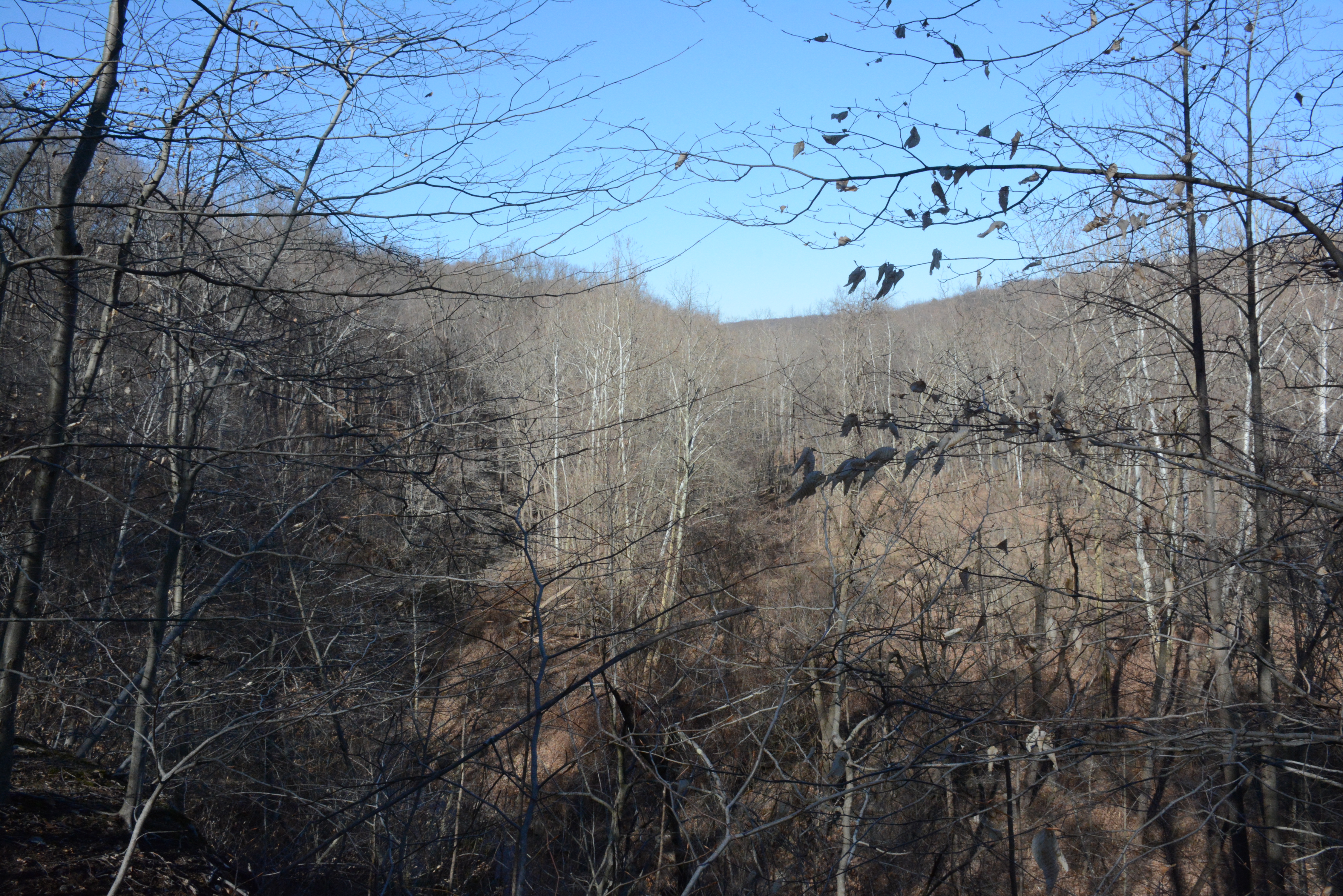
From Wilderness to Suburbia
In 1860, bounties were still being paid for wolves, bears, and cougars in the area. By 1896, the painter Asher Brown Durand's son John described the mountain as a primitive forest much as it must have appeared in the time of Henry Hudson. That wildness persists in surprising ways. The reservation sits within portions of Maplewood, Millburn, and West Orange, bordered by South Orange -- towns where commuter trains run to Penn Station and children walk to school on paved sidewalks. Yet a hiker on the reservation's interior trails can lose sight of any sign of habitation for long stretches, surrounded by nothing but trees, water, and birdsong.
A Living Park
South Mountain is no museum piece. The reservation's boundaries contain Turtle Back Zoo, the Richard J. Codey Arena, a treetop adventure ropes course, and Safari Minigolf. The Orange Reservoir, a man-made lake built during the late-nineteenth-century urbanization boom, no longer serves the water supply system. After years of negotiation between the Essex County Park System and the City of Orange, a lease agreement allowed the reservoir to be opened for recreation, with pedestrian bridges and walkways installed by 2014. McLoone's Boathouse Restaurant opened on its shore in 2011. Higher points like Crater View offer panoramic vistas reaching across Staten Island and the coastal plain, a reminder that this pocket of wildness sits at the geographic center of one of America's most densely populated counties.
From the Air
Located at 40.75N, 74.29W between the first and second ridges of the Watchung Mountains. Elevation reaches approximately 600 feet. The reservation's tree canopy and Orange Reservoir are identifiable from the air. Nearest airports: Essex County Airport (KCDW, Caldwell, 5nm NW), Teterboro (KTEB, 12nm NE), Newark Liberty (KEWR, 8nm E). Expect New York Class B airspace overhead.