Squares of Savannah, Georgia
General James Oglethorpe had seen what happened when a city forgot to breathe. The Great Fire of London in 1666 had ripped through cramped streets with terrifying speed, and when Oglethorpe laid out his new colony on a bluff above the Savannah River in 1733, he built open space into the city's very DNA. Four squares anchored the original settlement, each one ringed by residential "tithing" blocks and civic "trust" lots in a pattern that doubled as a military camp and a firebreak. Nearly three centuries later, 22 of those squares still shape how Savannah moves, gathers, and remembers. No other American city looks quite like this from the air: a repeating geometry of green rooms threaded through a canopy of live oaks, each square a small civic theater with its own cast of monuments and stories.
A General's Blueprint
Oglethorpe's original plan called for six squares, though only four were built in the mid-1730s: Johnson, Percival (now Wright), Decker (now Ellis), and St. James (now Telfair). Each square sat at the center of a "ward," with trust lots on the east and west sides reserved for churches, schools, and markets, and tithings subdivided into ten residential lots each. As the colony grew, the grid extended southward. By 1851, 24 squares had been created. The pattern was remarkably consistent: each square measured roughly the same east-to-west width, with traffic flowing counterclockwise around them like small roundabouts. The five squares along Bull Street -- Monterey, Madison, Chippewa, Wright, and Johnson -- were designed as grand monument spaces and became known as Savannah's "Crown Jewels." When the city finally outgrew the grid south of Gaston Street, it abandoned squares altogether and gave the neighborhood Forsyth Park instead.
Ghosts, Generals, and a Creek Chief
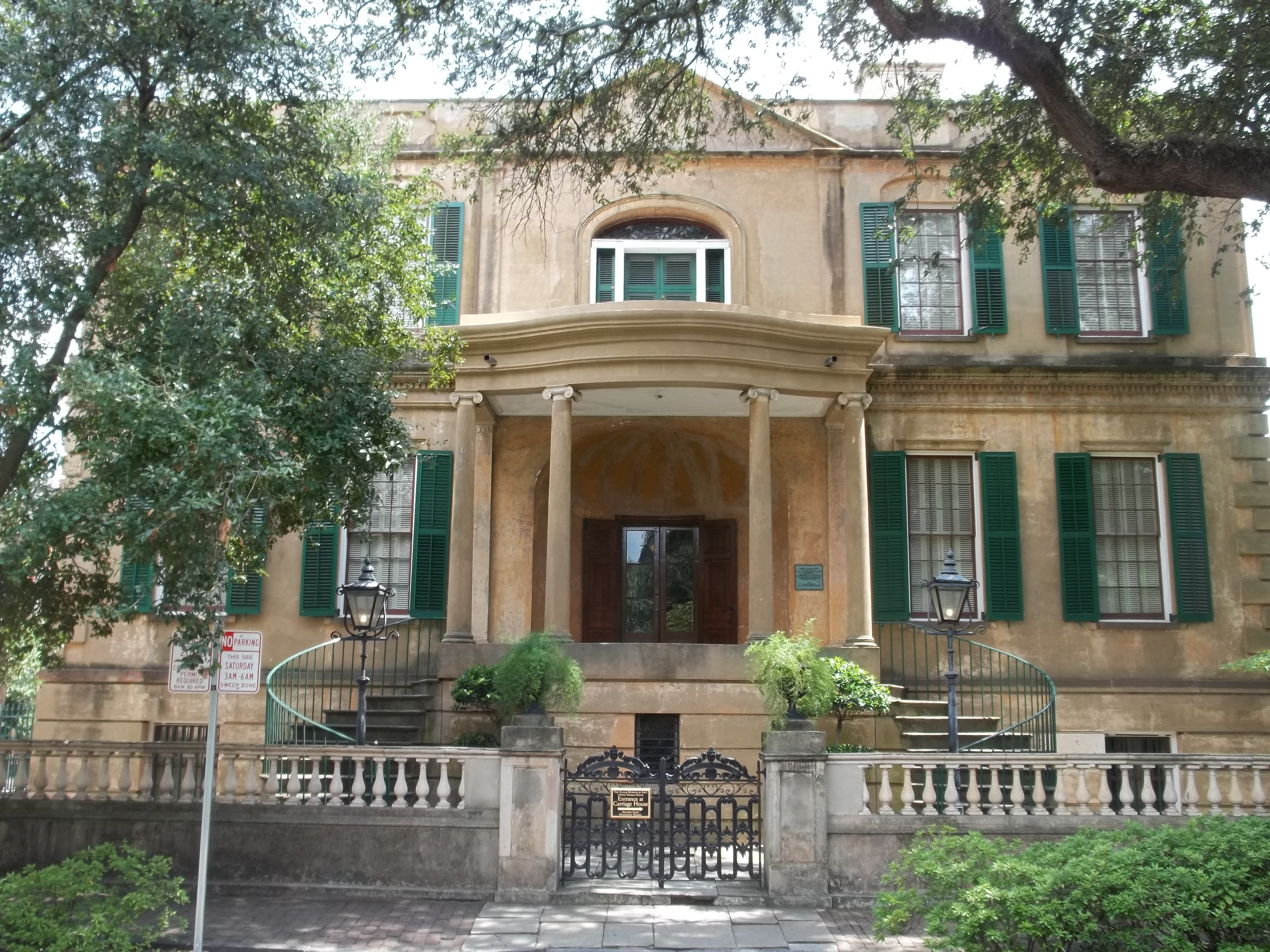
Walk from square to square and you walk through layers of American history. Wright Square holds the burial site of Tomochichi, a Creek leader who befriended Oglethorpe and helped establish the colony. Franklin Square, named for Benjamin Franklin -- who served as an agent for Georgia from 1768 to 1778 -- was destroyed in 1935 and not restored until the mid-1980s. Its memorial sculpture depicts a 12-year-old Henri Christophe, who would grow up to command the Haitian army and become King of Haiti. Orleans Square commemorates Andrew Jackson's 1815 victory at the Battle of New Orleans, with a German Memorial Fountain at its center honoring early German immigrants. Monterey Square recalls the Mexican-American War's Battle of Monterrey in 1846 and is dominated by an 1853 monument to General Casimir Pulaski. It is also the site of Mercer House, made famous by John Berendt's 1994 true crime novel "Midnight in the Garden of Good and Evil."
Monuments as Shields
The 20th century nearly gutted the system. Three squares -- Elbert, Ellis, and Liberty -- were demolished or altered beyond recognition, reducing the count from 24 to 21. The statues and monuments that fill the remaining squares were placed there partly as protection: it is harder to pave over a park when a bronze general stands in its center. The strategy worked. In 2010, Ellis Square was reclaimed and rebuilt, bringing the total back to 22. Today the squares anchor the Savannah Historic District, one of the largest urban preservation zones in the United States. Congregation Mickve Israel, one of the few Gothic-style synagogues in America, dates from 1878 on Monterey Square. Christ Church on Johnson Square, established the same year as the city itself, once counted John Wesley and George Whitefield among its clergy. Whitefield Square, the last to be built in 1851, centers on a gazebo and holds the grave of Andrew Bryan, founder of the First African Baptist Church.
The View from Above
From the air, Savannah's grid is unmistakable. The squares appear as a repeating pattern of green patches set within a tight lattice of streets and rooftops, their live oak canopies darker and denser than the surrounding tree cover. The Savannah River runs along the northern edge of the historic district, and the squares march southward from the river bluff in orderly rows. Bull Street cuts straight through the center, linking the Crown Jewels in a north-south line that is easy to trace even at altitude. The geometry looks almost computational -- precise, modular, and deeply deliberate. It is the plan of a man who understood that cities need lungs, and who built them in from the very first day.
From the Air
Coordinates: 32.075N, 81.090W. The 22 squares of Savannah's Historic District are visible as a repeating grid of green patches in the urban core, especially striking from 2,000-5,000 feet AGL. Bull Street runs north-south through the center, linking the five 'Crown Jewel' squares. The Savannah River forms the northern boundary. Nearest airport: Savannah/Hilton Head International (KSAV), approximately 8 nm northwest. Hunter Army Airfield (KSVN) is about 5 nm south.