Sriwijaya Kingdom Archaeological Park
Aerial photographs taken in 1984 revealed something hiding in plain sight southwest of Palembang: a network of ancient canals, rectangular ponds, and artificial islands stretching across a low-lying area near the Musi River. The site had been there for centuries, quietly subsiding into the tropical landscape while the city grew around it. Archaeologists recognized the Karanganyar site as evidence of sophisticated water engineering, possibly linked to the Srivijaya empire that once dominated Southeast Asian maritime trade from the 7th to the 13th century. But attribution proved maddeningly difficult. The jungle, the river, and more than a thousand years of tropical humidity had conspired to erase nearly every physical trace of who built these waterways and why.
Canals in Search of a Civilization
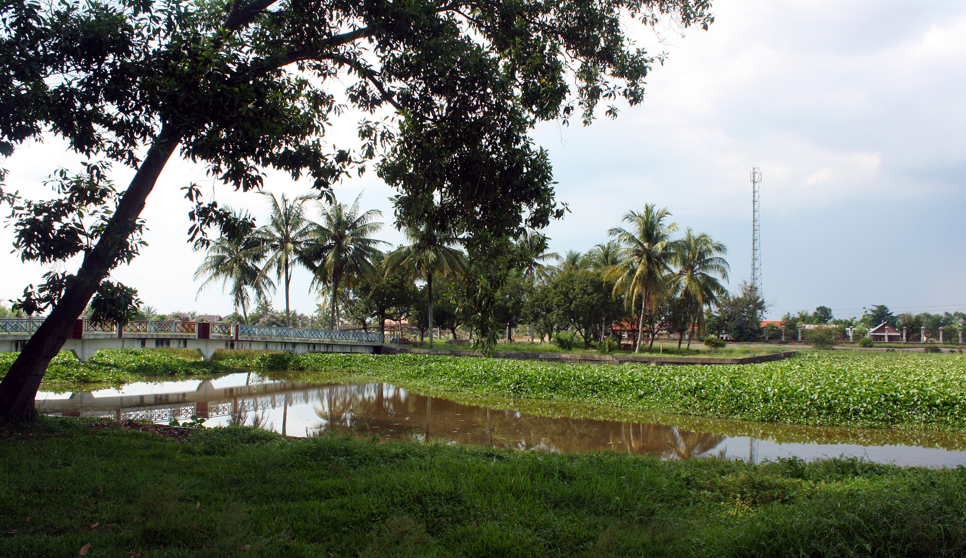
The park preserves three sub-sites connected by seven ancient canals. The largest, Karanganyar 1, centers on a rectangular pond with two artificial islands: Nangka and the smaller Cempaka. Moats surround Nangka island. The longest canal, known locally as Parit Suak Bujang, stretches three kilometers with both ends meeting the Musi River, creating a loop that once allowed boats to pass through the site and connect the river to inland areas. A parallel canal runs south of the main pond, and five smaller channels link the network together. The engineering is deliberate and large-scale, suggesting a community that needed both flood control and water transport. What that community was, exactly, remains the central question. Chinese ceramics found here span the Tang, Song, Yuan, and Qing dynasties, covering the 7th through the 19th centuries, a range so broad it offers clues without providing answers.
Srivijaya's Vanishing Act
The Srivijaya empire is one of history's great paradoxes: a maritime power that controlled the Strait of Malacca and dominated Indian Ocean trade for centuries, yet left behind almost no monumental architecture. The reason is practical. Palembang sits on a river floodplain surrounded by tropical rainforest with no nearby stone quarries. Temples, palaces, and houses were built from wood and brick, organic materials that decay within two centuries in the relentless humidity. Excavations between 1985 and 1989 at the Karanganyar site turned up pottery fragments, beads, brick remnants, and the hull of a wooden ship, but no significant building ruins. On Cempaka island, archaeologists uncovered a brick structure buried just thirty centimeters deep, oriented on an east-west axis. It is among the only structural remains at the site. Srivijaya's power was real, documented in Chinese court records and Arab trade accounts, but its physical footprint has all but dissolved.
Two Empires, One Landscape
Initial excavations in the late 1980s complicated the neat narrative. Researchers expected to find evidence of a Srivijayan political center, but the waterways, reservoirs, and "floating islands," known as balai kambang, pointed more convincingly toward Sultan Mahmud Badaruddin II, the early 19th-century ruler of the Palembang Sultanate. Badaruddin had acquired the Karanganyar land, possibly to prepare a royal burial ground following a Palembang tradition of interring members of the royal family at sites surrounded by water flowing toward the Musi. The 9th-century Srivijayan occupation left only scattered surface finds: ceramics, a few layers of ancient brick wall, and possibly one original canal. Archaeologists still cannot definitively assign the site to the Srivijayan dynasty rather than to the later sultanate. Two empires, separated by nearly a millennium, used the same landscape for purposes that may have been entirely different.
A Park the City Forgot
The South Sumatra provincial government transformed the site into an archaeological park, completed on December 22, 1994, with President Suharto overseeing the inauguration. At its center stands a pavilion built in traditional Limasan Palembang architecture, housing a replica of the Kedukan Bukit inscription in a glass case. That inscription records the Siddhayatra journey of Dapunta Hyang Sri Jayanasa, an event regarded as the founding of the Srivijaya empire. The park was meant to be a center for education and tourism, connecting modern Palembang to its ancient heritage. It has not fulfilled that promise. Poor maintenance, minimal promotion, and a lack of interpretive signage have left most Palembang residents unaware the park exists at all. The site sits roughly four kilometers southwest of the city center, at an elevation barely two meters above the Musi, quietly holding artifacts that span twelve centuries while the city that grew from Srivijaya's legacy carries on without looking back.
From the Air
Located at 3.02S, 104.73E, roughly 4 km southwest of Palembang city center along the northern bank of the Musi River. The canal network and rectangular ponds are most visible from 2,000-4,000 ft, forming geometric patterns against the surrounding vegetation. Bukit Seguntang hill, Palembang's highest point and another important archaeological site, lies to the north and serves as a visual reference. Sultan Mahmud II International Airport (WIPP) is approximately 15 km to the northeast. The Ampera Bridge marks the city center downstream.