Stone Quarries for Edo Castle
The stones still have names carved into them. Four centuries after they were cut from the volcanic hillsides above Sagami Bay, the quarry faces along the Izu Peninsula and the Hayakawa River valley bear the inscriptions of the daimyo clans who hauled them to the coast: Hosokawa, Mori, Arima, Inaba. These were not laborers' marks. They were receipts -- proof that each feudal lord had fulfilled his obligation to the Tokugawa shogunate, contributing his share of andesite and granite to the greatest construction project in Japanese history. The 170 quarry sites that supplied Edo Castle's walls, moats, and fortifications were collectively designated a National Historic Site of Japan in 2016, preserving a story not just of engineering but of political control enforced through stone.
Building on Nothing
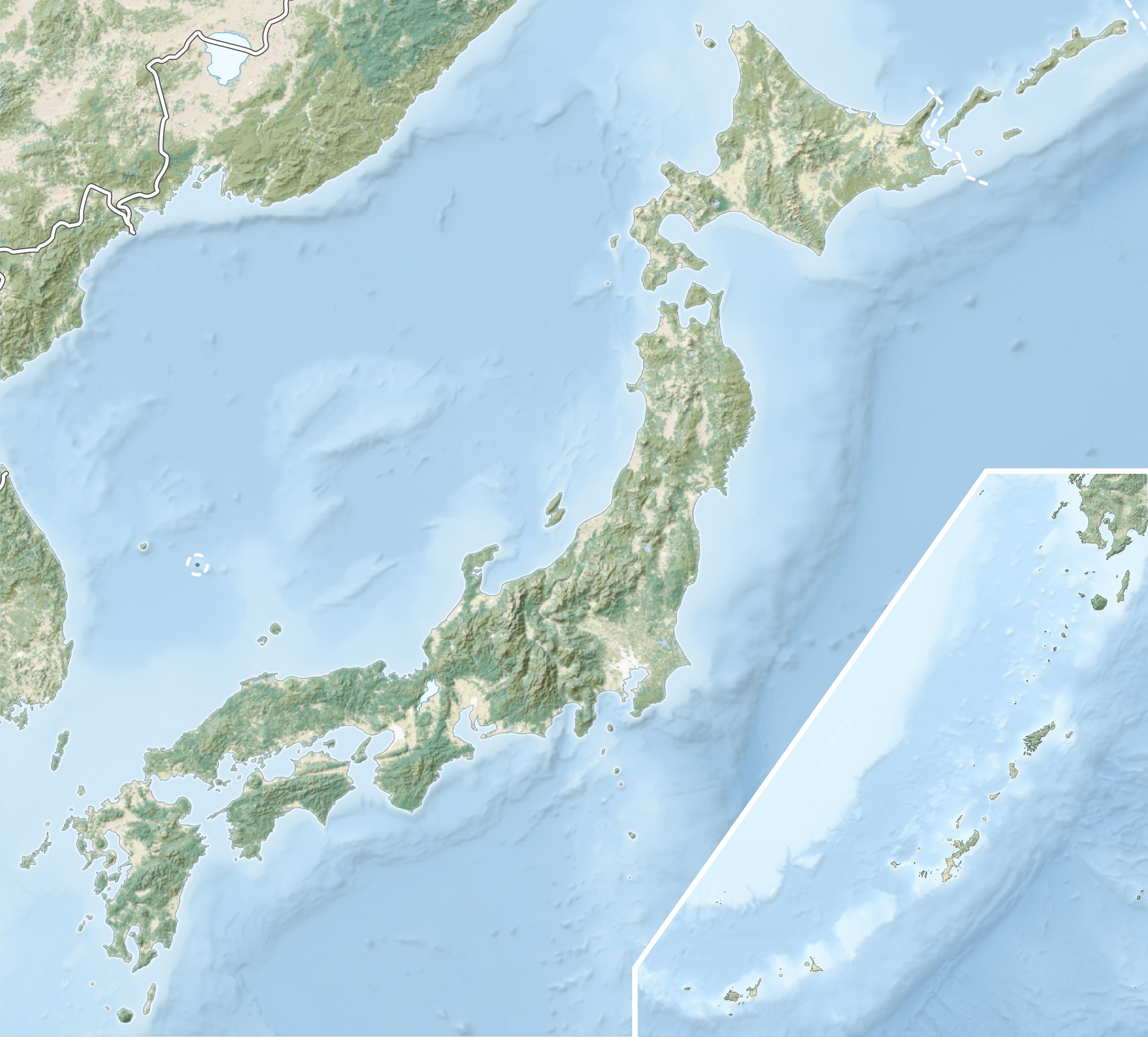
Edo Castle had a geological problem. The city of Edo -- modern-day Tokyo -- sits on reclaimed land in a low-lying alluvial plain at the northern end of Tokyo Bay. The local geology consists of the Kanto loam layer, a soft volcanic ash deposit that contains no stone suitable for the massive walls and moats a shogunal fortress demanded. Tokugawa Ieyasu, who established the shogunate in 1603, needed to look far south for his building material. The Izu Peninsula and the western coast of Sagami Province, both volcanic in origin, offered abundant outcroppings of andesite and granite -- hard, dense rock ideal for castle walls. Crucially, many of these outcrops lay close to the coast, allowing the enormous stones to be loaded onto boats and shipped north through Sagami Bay to Edo. What nature denied the capital, geography along the coast provided.
A Three-Generation Project
The construction of Edo Castle spanned three shoguns and more than three decades. Tokugawa Ieyasu began the work in 1603, ordering the various daimyo to contribute labor and materials. His son Tokugawa Hidetada continued the project, and his grandson Tokugawa Iemitsu saw it through to completion. The central castle buildings took from 1604 to 1607. The outer enclosures followed between 1610 and 1627. The outermost moats -- the last ring of defense -- were completed between 1629 and 1636. Each phase required fresh stone from the quarries, and each phase came with fresh assignments to daimyo clans across Japan. The quarries were not simple extraction points. Each site functioned as an integrated operation: quarry face, stone-cutting workshop, storage yard, towing road, and port.
Loyalty Measured in Stone
The quarry assignments served a purpose far beyond construction. The Tokugawa shoguns deliberately imposed the heaviest stone-cutting duties on the tozama daimyo -- the "outer lords" whose clans had submitted to Tokugawa rule only after the Battle of Sekigahara in 1600. By requiring these potentially rebellious lords to quarry, shape, transport, and deliver massive quantities of stone, the shogunate drained their treasuries and kept their armies occupied with manual labor rather than plotting rebellion. It was fiscal warfare disguised as civic duty. The mason's inscriptions found at quarry sites in Atami, where Arima and Mori clan names appear carved into abandoned stones, stand as evidence of this calculated burden. These daimyo were not volunteering. They were being bled.
Hayakawa, Atami, and the Slopes of Mount Nako
The quarry sites span three modern cities. In Odawara, archaeologists have identified 19 locations along the Hayakawa River valley containing 101 individual quarry sites, covering more than 254,000 square meters. This area sits on the outer ring of the ancient Hakone volcano, where centuries of eruption deposited exactly the hard stone the castle builders needed. The best-preserved site, Hayakawa quarry, was excavated in 2003, revealing stones still marked with mason's symbols and quarry holes. A 2007 excavation uncovered the stone towing road that led to the port. In Atami, 30 more quarry sites share the same volcanic geology. And in Ito, on the slopes of 350-meter Mount Nako overlooking Usami Bay, more than 21 quarry sites mark where the largest stones were cut. At the Usami quarry, workers used rounded boulders as rollers to transport stones 1.5 kilometers down to the harbor -- a brute-force solution to moving rock that weighed tons.
From the Air
The quarry sites are centered around 35.236N, 139.128E, spread along the coast from Odawara south through Atami to Ito on the Izu Peninsula. From the air, the Hayakawa River valley is visible cutting through the western flanks of the Hakone volcanic complex, with the modern city of Odawara on the coastal plain below. Mount Nako (350m) is identifiable near Usami Bay south of Atami. The volcanic geology of the Izu Peninsula -- dark rock faces and steep coastal terrain -- is clearly visible. Nearest airports: Haneda (RJTT) approximately 45nm northeast, Atsugi (RJTA) approximately 25nm north. The Tokaido Shinkansen line runs through Odawara, and the coastal highway follows the ancient stone transport route along Sagami Bay.