Stone Spheres of Costa Rica
In the 1930s, workers for the United Fruit Company were clearing jungle in southern Costa Rica to plant bananas when their machetes struck something unexpected: stone balls. Dozens of them, some the size of a fist, others taller than a man, sitting in the alluvial soil of the Diquis Delta as though someone had placed them there and walked away. No one knew who made them. No one knew how. No one knew why. Nearly a century later, all three questions remain open -- and the spheres have become Costa Rica's most recognizable archaeological icon, a national symbol, and a UNESCO World Heritage Site.
The Bolas de Piedra
More than 300 stone spheres have been documented across the Diquis Delta and on Isla del Cano off the Pacific coast. They range from a few centimeters in diameter to over 2 meters, with the largest weighing approximately 15 tons. Most were carved from gabbro, a hard igneous rock resistant to acid -- which matters, because one persistent local legend claims the makers had a plant-derived potion that softened stone. Gabbro does not soften. The spheres were shaped by sustained, deliberate effort: pecking, grinding, and polishing by hand. Archaeologists attribute them to the Diquis culture, which occupied this region during the Aguas Buenas period (300-800 CE) and the Chiriqui period (800-1550 CE). They were likely placed in lines along the approaches to chieftains' houses, though their precise function -- astronomical markers, symbols of status, spiritual objects -- remains debated.
Banana Men and Archaeologists
The United Fruit Company's arrival in the Diquis Delta in the 1930s, operating under the name Compania Bananera de Costa Rica to skirt antimonopoly laws, transformed both the landscape and the fate of the spheres. Workers rolled them aside, dynamited some in search of rumored gold inside, and hauled others away as lawn ornaments. Many ended up decorating the yards of wealthy Tico families -- beautiful objects stripped of their archaeological context. Scientific study began in the 1940s when Doris Zemurray Stone, whose father ran the United Fruit Company, and Harvard's Samuel Lothrop from the Peabody Museum began systematic documentation. Lothrop mapped sphere arrangements, recorded dimensions, and published his findings in 1963. Then research went quiet for nearly fifty years.
A World Heritage Puzzle
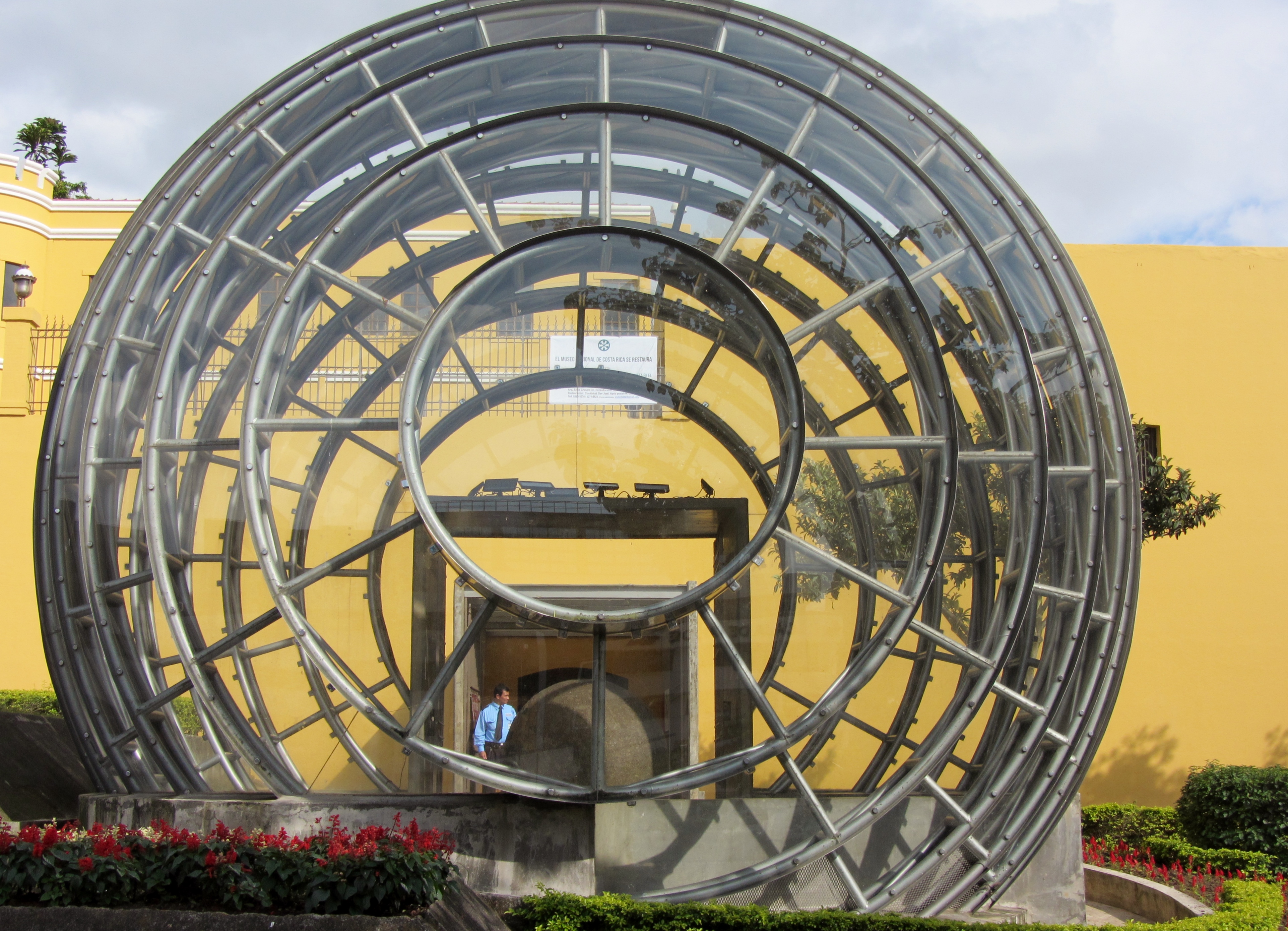
The modern era of research began in the 1990s when Claude Baudez established a ceramic chronology for the region, and Ifigenia Quintanilla led studies on settlement patterns from 1991 to 1996. Since 2002, archaeologists Francisco Corrales and Adrian Badilla from the Museo Nacional de Costa Rica have focused on four key sites -- Grijalba, Batambal, El Silencio, and Finca 6 -- that form a circuit of sphere locations. At Finca 6, excavations in 2007 uncovered a sphere still in its original position beside a ceremonial mound, one of the rarest finds in the region. In June 2014, the precolumbian chiefdom settlements with stone spheres of the Diquis earned UNESCO World Heritage status. The following month, Costa Rica declared the spheres a national symbol. Today they appear at government buildings across San Jose, from the Legislative Assembly entrance to the Supreme Court plaza.
Thunder God's Cannonballs
Every culture that encounters the spheres offers an explanation. Atlantis, say the New Age enthusiasts. Nature, say the casually curious. The Bribri and Cabecar peoples, indigenous groups whose oral traditions predate European contact, tell a different story: the spheres are Tara's cannonballs. Tara, the god of thunder, used a giant blowpipe to launch them at the Serkes, gods of winds and hurricanes, driving the storm spirits from the land. Architect Melissa Rudin Hernandez has proposed that the spheres represent a cosmovision rooted in pre-Brunka spirituality, an artistic and spiritual creation connected to the Diquis culture's understanding of celestial bodies. Other archaeologists hypothesize they may depict stages of the sun and moon as seen with the naked eye. Claims of mathematical perfection in their roundness are exaggerated -- some vary by more than 5 centimeters in diameter, and centuries of erosion make original precision impossible to assess.
Visiting the Spheres Today
Archaeological tourism is still relatively new in Costa Rica. The national monument of Guayabo de Turrialba has long been the only major site open to visitors, but Finca 6 now welcomes tourists who pay a nominal fee to tour a small museum and walk the grounds where spheres sit among the tropical vegetation. From the air, the Diquis Delta spreads flat and green below the Talamanca mountains, the Rio Grande de Terraba snaking toward the coast through a patchwork of banana, plantain, and palm plantations that still bear the imprint of the United Fruit Company's legacy. The spheres themselves are invisible from altitude -- stone swallowed by time and jungle. But they endure down there, as they have for centuries, posing their silent question to anyone willing to look.
From the Air
Located at 8.91N, 83.48W on Costa Rica's Diquis Delta in the southwest. From altitude, the delta appears as a broad, flat alluvial plain at the base of the Talamanca mountains, cut by the Rio Grande de Terraba flowing to the Pacific. The sphere sites themselves are not visible from the air, but the agricultural landscape -- banana, plantain, and palm oil plantations -- marks the area where United Fruit Company operations first uncovered the spheres. Nearest airport: Palmar Sur (MRPM), directly adjacent to the archaeological zone. The town of Sierpe and the mangrove-lined coast are visible to the southwest. Isla del Cano, where additional spheres were found, is visible offshore approximately 15 km west of the Osa Peninsula.