Strait of Bonifacio
Sailors know the Strait of Bonifacio by reputation long before they see it. At its narrowest, just 11 kilometers of water separate Corsica from Sardinia, and that slender gap funnels Mediterranean winds into something vicious. Currents collide, shoals lurk beneath a deceptively open surface, and weather can shift from calm to dangerous within minutes. The International Maritime Organization has designated it a Particularly Sensitive Sea Area -- bureaucratic language for a passage that has been wrecking ships for centuries.
Where Two Seas Meet
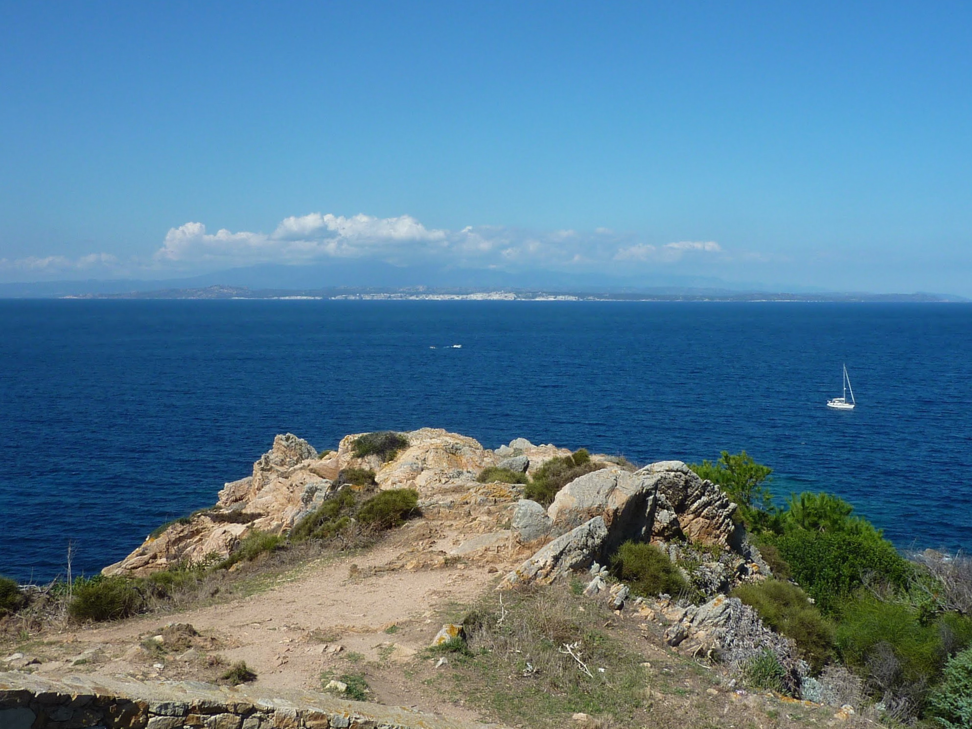
The strait divides the Tyrrhenian Sea to the east from the open western Mediterranean, creating a bottleneck where water masses collide. Its maximum depth reaches only 100 meters, shallow enough that the seabed's contours shape surface conditions in unpredictable ways. Scattered through the channel are the granite islands of the Lavezzi archipelago on the French side and the Maddalena archipelago on the Italian, their rocks polished smooth by millennia of wind and spray. Between them, the passage narrows to a corridor where tidal flows and wind-driven currents create conditions that demand constant vigilance from anyone at the helm. No bridge spans the gap; ferries shuttle between Bonifacio on the Corsican shore and Santa Teresa di Gallura on the Sardinian coast, their crossings dependent on the strait's willingness to cooperate.
A Name from the Fortress Above
The strait takes its name from the town of Bonifacio, Corsica's southernmost settlement, which clings to white limestone cliffs that drop vertically into the sea. The town was named for Boniface I, Margrave of Tuscany, who founded a citadel here around 828 AD. The choice of location made military sense: from these cliffs, you can see Sardinia clearly on most days, and the narrow passage below was a natural chokepoint for any fleet moving through the western Mediterranean. The Genoese later fortified the town further, building walls and a harbor that turned Bonifacio into one of the most impregnable positions in the region. Today the medieval old town still perches above the strait, its buildings projecting over the cliff edge, defying gravity and the relentless erosion of the sea wind.
Navigating the Gauntlet
The strait's reputation among sailors is well earned. The Mistral and Tramontane winds accelerate through the channel, and the interaction between Atlantic-origin weather systems and Mediterranean conditions creates localized squalls that can appear with little warning. Shoals and rocky outcrops reduce navigable water in several sections, and strong tidal currents -- unusual in the Mediterranean -- add another variable. France and Italy have jointly designated the strait as a PSSA under international maritime law, and the IMO has recommended that laden oil tankers and vessels carrying hazardous cargo avoid the passage entirely. For recreational sailors and smaller vessels, the strait remains passable but demands respect. Those who have crossed it in rough conditions tend to remember the experience vividly -- the sudden chop, the wind funneling between two mountainous islands, the awareness that the Mediterranean can bare its teeth in a space barely wider than a large lake.
The View Between Two Worlds
From the air, the strait reveals its true character. The turquoise shallows around the Lavezzi and Maddalena islands give way to deeper blue in the central channel, and the contrast between Corsica's rugged granite mountains and Sardinia's gentler northern coast is striking. Despite being separated by only 11 kilometers of water, the two islands have belonged to different nations since 1768 -- Corsica to France, Sardinia to Italy -- and the cultural divide is as real as the geographic one. The strait serves as both border and connection, a seam between Latin cultures where fishing boats from both sides share the same waters and the same healthy respect for what those waters can do. On calm days, the passage looks almost inviting, the islands close enough to swim between. The locals know better.
From the Air
Located at 41.31N, 9.21E, between the southern tip of Corsica and the northern tip of Sardinia. The strait is clearly visible from cruising altitude -- look for the narrow gap between the two large Mediterranean islands. The Lavezzi and Maddalena archipelagos are scattered through the channel. Nearest airports: Figari-Sud Corse (LFKF) on the Corsican side, Olbia Costa Smeralda (LIEO) on the Sardinian side. Best viewed at 5,000-10,000 feet for the full geographic context.