Stuart Highway
Two thousand seven hundred and twenty kilometres of asphalt, one lane in each direction, and almost nothing in between. The Stuart Highway -- known to Australians as "the Explorer's Way" -- runs from Darwin on the tropical Top End to Port Augusta in South Australia, bisecting the continent like a surgical incision through its red, empty heart. Named for John McDouall Stuart, who crossed this punishing country on horseback in 1862, the highway follows his route so faithfully that driving it feels less like a road trip and more like a pilgrimage. The distances between fuel stops can stretch past 200 kilometres. The landscape shifts from salt lakes to spinifex desert to monsoon woodland. And the silence, when you step out of the car and kill the engine, is absolute.
The Explorer's Spine
Stuart attempted the north-south crossing three times before succeeding in 1862, nearly dying of scurvy and dehydration on his earlier failures. A decade later, the Overland Telegraph Line traced his path, stringing copper wire from Adelaide to Darwin and connecting Australia to the world via an undersea cable to Java. The telegraph stations became the first European settlements in the interior -- Alice Springs among them, named after the wife of the telegraph project's chief, Charles Todd. The highway that eventually followed the telegraph route was not fully sealed until 1987. Before that, stretches of the road were unpaved, and the wet season could strand travelers for weeks. Today, road trains -- trucks hauling three or four trailers -- thunder along the highway at 100 kilometres per hour, sending waves of red dust into the air that hang for minutes after they pass.
Landscapes That Refuse to Repeat
Leaving Port Augusta, the highway passes through pale scrubland dotted with salt lakes that shimmer and vanish like mirages. At Woomera, rockets and experimental aircraft sit on plinths outside a museum -- relics of Britain's Cold War weapons testing in the Australian desert. Coober Pedy, the self-proclaimed opal capital of the world, announces itself with strange mounds of excavated earth, and most of the town lives underground in dugouts carved from the sandstone to escape summer temperatures that can exceed 40 degrees Celsius. Past Coober Pedy, the earth turns red. Slowly, then all at once, the landscape becomes the Red Centre -- the ochre country of spinifex and mulga that defines the Australian outback in the global imagination. The turnoff to Uluru appears without fanfare, a single sign pointing west toward the most photographed rock on the planet.
The Roadhouse Lifeline
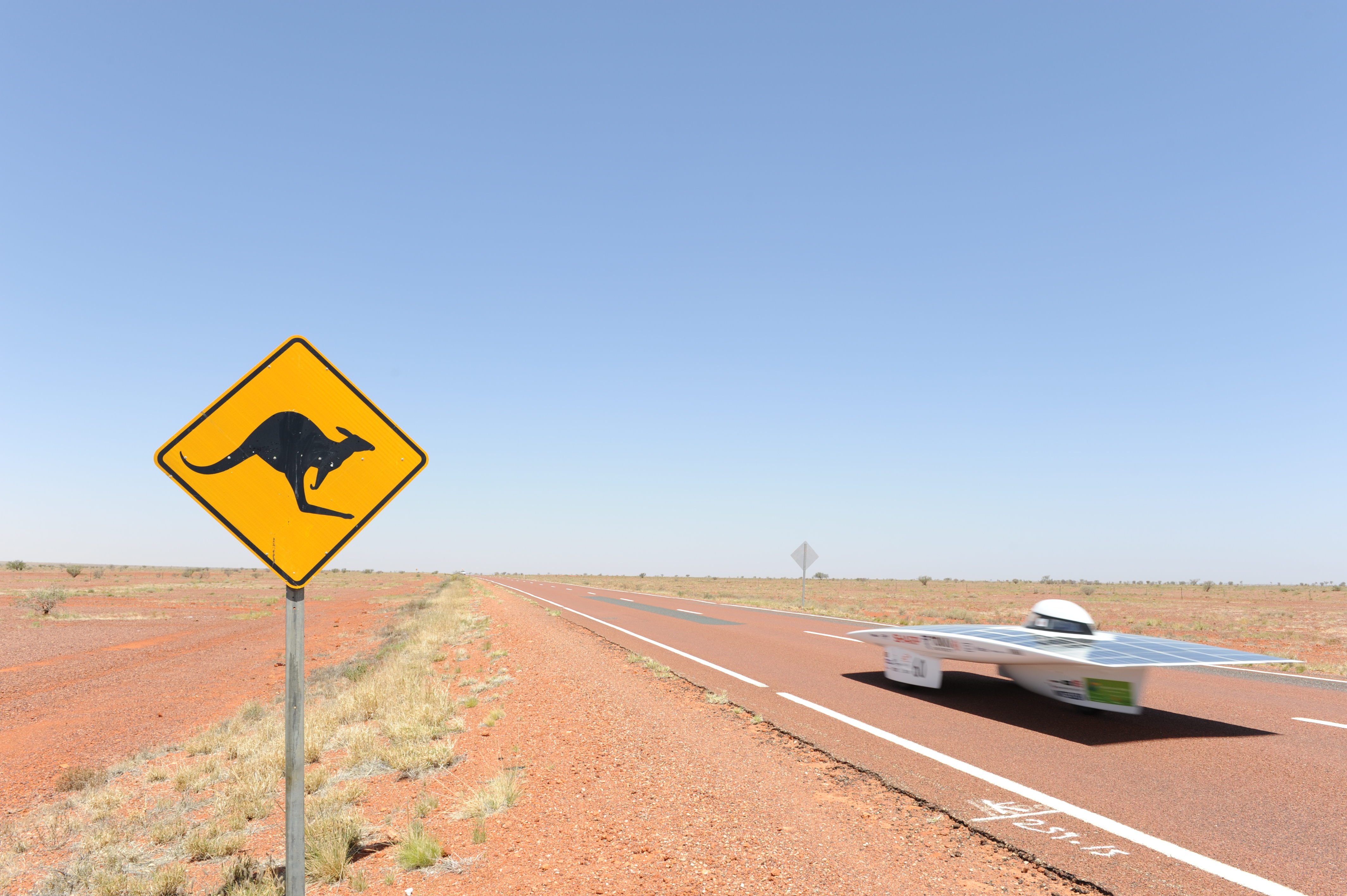
Between towns, roadhouses are the highway's lifeblood. Places like Cadney Homestead and Erldunda offer fuel, a cold beer, a camping patch, and the particular camaraderie of people who have all been driving for hours through the same vast nothing. Stuarts Well Roadhouse, 92 kilometres south of Alice Springs, serves camel burgers and displays a remarkable collection of Smurfs memorabilia -- the kind of eccentric detail that only makes sense in a place this remote. The Ghan railway, Australia's legendary north-south train, parallels much of the highway's route, and travelers sometimes drive one direction and ride the train back. Wildlife is a genuine hazard: kangaroos, emus, and feral camels are most active at dawn and dusk, and the warning signs are not decorative. Many outback vehicles carry two spare tires, jerrycans of extra fuel, and enough water for several days, because breakdowns this far from anywhere can turn serious fast.
Alice and Beyond
Alice Springs sits roughly at the highway's midpoint, the largest town in the outback with a population over 25,000. It is both a destination and a gateway -- to the MacDonnell Ranges, to Uluru, to Kings Canyon, and to the Arrernte country that has been home to Aboriginal people for more than 50,000 years. North of Alice, the highway stretches through some of its loneliest country. The section to Tennant Creek was once famous for having no speed limit at all, a policy that was revoked in 2016. Katherine, further north, marks the transition to the tropical zone, where monsoon rains can flood the highway in the wet season. By the time you reach Darwin, the air is thick with humidity, fruit bats wheel overhead at sunset, and the Red Centre feels like a different planet entirely.
A Road That Measures a Country
Driving the Stuart Highway takes a minimum of 30 hours at legal speeds, though most travelers spread it across a week or more. The road does not reward rushing. It rewards patience -- with sunsets that set the sky on fire from horizon to horizon, with the slow metamorphosis of the landscape from southern scrub to tropical green, with conversations at roadhouse bars where strangers share stories because there is no one else to talk to for hundreds of kilometres. This is not a scenic drive in the conventional sense. There are no hairpin turns or ocean views. What the Stuart Highway offers instead is scale: the raw, humbling immensity of a continent that is mostly uninhabited, and a ribbon of road that proves someone was stubborn enough to cross it anyway.
From the Air
The Stuart Highway runs roughly along longitude 133-134E from Port Augusta (32.5S) to Darwin (12.5S). From cruising altitude, the highway is visible as a thin line bisecting the red desert. Key waypoints include Alice Springs Airport (YBAS), Tennant Creek Airport (YTNK), and Darwin International Airport (YPDN). The highway passes near Woomera (YWMR) and Katherine (YPKU). Best viewed at 10,000-15,000 feet to appreciate the scale of the landscape and the isolation of the roadhouses.