The Water Temples of Bali
Rice is a gift from the gods, and water is the vessel that delivers it. That is the foundational belief of the subak system, a cooperative irrigation network that has sustained Balinese agriculture for more than a millennium. No government agency designed it. No engineer drafted its blueprints. Instead, the system emerged from a web of water temples, priestly authority, and a philosophy called Tri Hita Karana -- the harmonious relationship between humans, the earth, and the divine. From the air, the result is unmistakable: cascading terraces of emerald and gold carved into volcanic hillsides, each one fed by channels that carry snowmelt and rainwater from the crater lakes above. On the ground, between 50 and 400 farmers share a single water source, coordinating their planting schedules not through memos or meetings, but through ritual.
The Elegant Logic of Synchronized Chaos
The subak system solves a problem that modern agriculture still struggles with: how to balance water distribution with pest control across hundreds of independent farms. The solution is deceptively simple. Farmers within a subak synchronize their planting so that large areas go fallow at the same time. During these brief fallow windows, pests lose their habitat across entire valleys and their populations crash. But synchronization has a cost -- too many farms planting at once creates unsustainable peaks in water demand. The system threads this needle by calibrating fallow periods to local conditions. Where water is abundant, uniform cropping maximizes yields by starving pests. Where water is scarce, farmers stagger their planting dates just enough to spread demand without giving pests a permanent home. What makes this remarkable is that no central authority dictates the schedule. Each farmer's self-interest naturally aligns with the collective good, because the upstream farmer with plenty of water still needs coordinated timing downstream to prevent pests from migrating back up to devour his own crop.
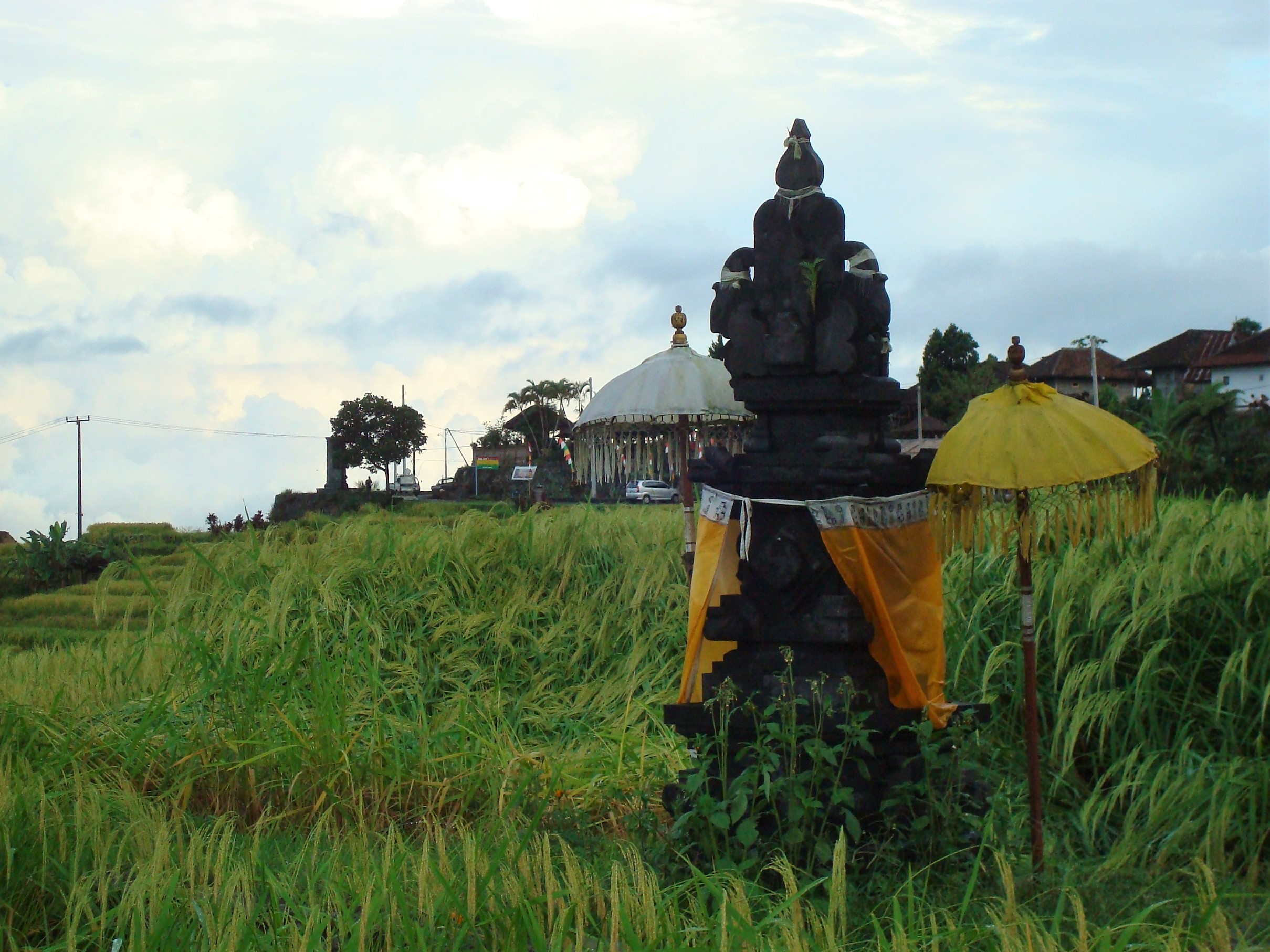
Where the Sacred Meets the Hydraulic
At the apex of the system sits the Pura Ulun Danu Batur, the supreme water temple of Bali, perched on the rim of Mount Batur's caldera overlooking the crater lake below. The Balinese consider Lake Batur the source of all springs and rivers on the island, and every water temple in the network traces its spiritual authority back to this single site -- in the same way that all Balinese temples ultimately connect to the Mother Temple at Besakih. The priests who preside over these temples do not merely perform ceremonies. They manage water allocation, mediate disputes between subaks, and set the agricultural calendar according to traditions drawn from Shaiva Siddhanta Hinduism, Vajrayana Buddhism, and older Austronesian cosmologies. Their authority is both spiritual and practical, and the two are inseparable. Water temple rituals emphasize humanity's dependence on natural forces -- a worldview that has kept Balinese agriculture productive for centuries without the chemical interventions that modern monoculture demands.
Terraces Carved by Centuries
The landscape the subak system produced is now a UNESCO World Heritage Site. The original listing centered on the rice terraces of Jatiluwih, but during the 2008 evaluation, the World Heritage Committee vastly expanded the scope. The site was renamed the Subak Landscape of Catur Angga Batukaru, and it now encompasses 17 subak gede institutions, 12 customary villages, the lakes of Tamblingan and Buyan, and forest reserves across the districts of Tabanan and Buleleng. The total protected core area spans more than 19,500 hectares with an additional 1,455 hectares of buffer zones. This is not a museum piece. The terraces are working farmland, tended by the same cooperative structures that built them. In 1981, the Subak Museum opened in Tabanan Regency to document the system's history, but the real museum is the landscape itself -- a living demonstration that sustainable agriculture does not require industrial technology, only the institutional patience to let a thousand years of accumulated wisdom do its work.
A System Under Pressure
The subak system has survived colonial rule, the Green Revolution, and the pressures of mass tourism, but its future is not guaranteed. When the Indonesian government introduced high-yield rice varieties and chemical fertilizers in the 1970s, the disruption to traditional planting schedules caused pest outbreaks so severe that researchers eventually realized the old system had been more effective all along. A landmark 1987 study by anthropologist J. Stephen Lansing demonstrated that the water temple network was not mere superstition but an extraordinarily sophisticated adaptive system -- one that outperformed the government's centralized planning. Today, the threats are different: urbanization is consuming agricultural land, young Balinese increasingly seek jobs in tourism rather than farming, and climate change is altering rainfall patterns that the system evolved to manage. Yet the subak persists. The temples still function, the priests still allocate water, and the terraces still cascade down the volcanic slopes in geometry that owes nothing to any surveyor's instrument.
From the Air
Located at 8.26S, 115.40E in central Bali, Indonesia. The subak terraces are most visible in the Tabanan and Bangli regencies, with the iconic Jatiluwih terraces on the slopes southwest of Mount Batukaru. The Pura Ulun Danu Batur temple sits on the caldera rim of Mount Batur at approximately 4,400 feet elevation. Best viewed from 3,000-5,000 feet AGL when the terraces appear as cascading green steps. Nearest airport: Ngurah Rai International (WADD/DPS). Lake Batur's crescent shape inside the caldera is a useful landmark.