Subatan-Diza Archaeological Site
The people of the surrounding villages still call it Subatan-Diza. The official name was changed to Sabirkend in 1936, but three thousand years of habitation leave deeper marks than a bureaucratic decree. This archaeological site in the Ordubad District of Azerbaijan's Nakhchivan exclave covers the peaks and slopes of Mount Subatan, where a settlement first took root at the end of the second millennium BC. It grew from a tribal center to a 20-hectare walled city, was destroyed and rebuilt multiple times through the Achaemenid and Sassanid periods, and finally declined to a small village. Its cyclopean walls and painted ceramics connect it to the wider world of ancient Near Eastern civilization.
Fortress on Three Sides
Geography made Subatan-Diza defensible. High mountains surround it on three sides; only the eastern approach, along the Gilanchay River, required man-made protection. The builders responded with a double defensive wall of massive stones. The main settlement occupied about five hectares on the mountain's summit and upper slopes. A cyclopean wall 23.5 meters long, constructed from enormous mountain stones, guarded the northeastern approach. Rectangular protrusions -- buttresses or risalites -- reinforced the eastern wall, with additional short walls closing the gaps between them. The mountain's western face was a sheer cliff, eliminating the need for fortification. A stone-paved corridor ran from the entrance at the northern wall all the way to the summit, its flagstones still intact after millennia.
Words Older Than Empires
The name Subatan-Diza is itself an archaeological artifact. Linguists break it into components from the Elamite language, one of the oldest written languages of the ancient world. "Bat" means village, city, or dwelling place -- the same root that appears as "abad" in Persian city names. "Diza" derives from the Elamite "tiz," meaning fortress, a word preserved in the Pahlavi language during the Sassanid period when Nakhchivan's fortress was called Kuhandiz, or mountain fortress. Throughout the villages around the Gilanchay valley, the suffix "diza" persists: Double-diza, Kalantar-diza, Sabir-diza. These place names are linguistic fossils, preserving the vocabulary of civilizations that vanished thousands of years ago. Some researchers have connected the "Sum" element to Sumbi, a toponym found in Assyrian cuneiform inscriptions associated with the kingdom of Manna.
What the Earth Preserved
Archaeological excavations beginning in 2010 revealed a complex of religious and administrative buildings on the mountaintop, repeatedly destroyed and rebuilt over the centuries. The most recent destruction occurred around the 3rd century AD, after which the site's purpose changed. Among the finds: ceramic vessels from the late 2nd to early 1st millennium BC, both red and gray clay, some painted with geometric patterns in black, red, and brown. Stone tools with circular holes suggest grinding implements. Fragments of large storage vessels contained pieces of rock salt, likely brought from the mines of Nakhchivan and distributed to surrounding settlements. The pottery styles -- petal-shaped handles, geometric ornamentation, teapot-type tubular vessels -- connect Subatan-Diza to the broader Early Iron Age cultures of the South Caucasus and northwestern Iran.
Continuity Along the Aras
Subatan-Diza is not an isolated curiosity. The middle reaches of the Aras River preserve a remarkable concentration of ancient place names that have survived with only minor changes for three millennia: Nuvedi, Mehri, Ordubad, Vanand, Sharur. Many appear in the Avesta, the sacred texts of Zoroastrianism. The architectural style and construction techniques of the Subatan fortress find parallels in Median fortresses, linking this remote Azerbaijani site to the wider network of Iron Age civilizations that stretched from the Zagros Mountains to the Caucasus. The necropolis at the base of the mountain completely covers the Subatan valley, suggesting a population far larger than the hilltop settlement alone could hold. This was not merely a refuge but a living city -- one whose inhabitants chose this mountain for the same reasons people have always chosen high ground: water, visibility, and the comfort of stone walls between themselves and danger.
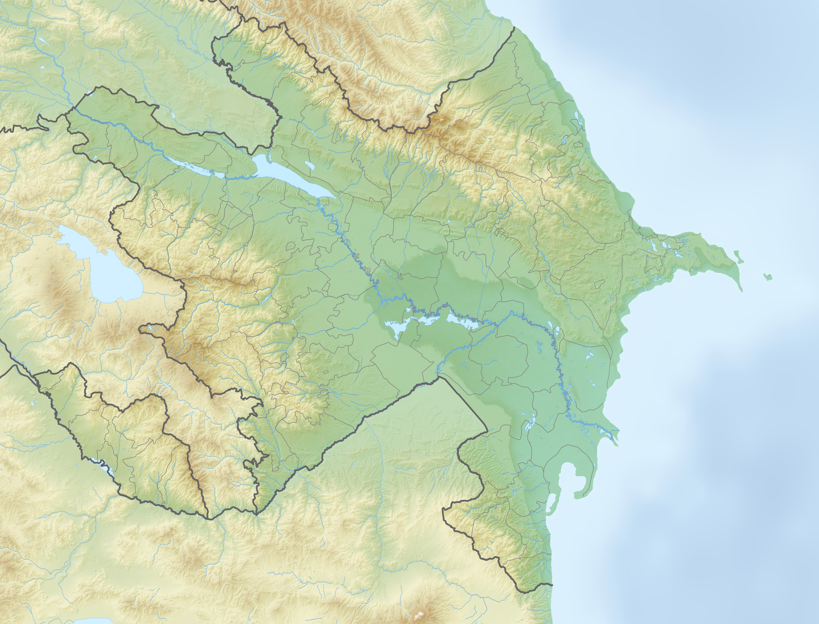
From the Air
Located at 38.95N, 45.83E in the Ordubad District of Azerbaijan's Nakhchivan exclave. The site sits on Mount Subatan, southwest of the village of Sabirkend, on the right bank of the Gilanchay River. Nearest airport is Nakhchivan International Airport (UBBN), approximately 55 km to the northwest. The terrain is mountainous with the Gilanchay and Yayci rivers visible from altitude. The archaeological site covers a hilltop and surrounding slopes, with the Ordubad-Nakhchivan road running 800 meters to the south.