Sucre: Bolivia's White City and Constitutional Capital
Ask Bolivians about Sucre and the word that comes up first is tranquila. La ciudad blanca - the white city - earns its nickname from the lime-washed colonial buildings that line its center, but the description goes deeper than paint. This is a city where the pace slows, where the climate holds steady at a comfortable spring-like temperature year-round, and where the streets empty after dark not from danger but from contentment. Sucre is Bolivia's constitutional capital, a distinction it guards fiercely even though most government ministries operate 450 kilometers away in La Paz. The city's center, inscribed as a UNESCO World Heritage Site, preserves one of the finest collections of colonial architecture in South America. Yet the most remarkable thing about Sucre may be what lies just outside it: a limestone cliff bearing over 12,000 dinosaur footprints, the largest such site on Earth.
A Capital That Refuses to Let Go
The question of Bolivia's capital has been contentious for over a century. Sucre is constitutionally the capital - home to the Supreme Court and the site where Bolivia's declaration of independence was signed. But La Paz, the larger and more politically powerful city in the Altiplano, houses the executive and legislative branches. Sucre's residents have not accepted this arrangement quietly. The rivalry runs deep, touching on regional identity, economic power, and historical pride. For visitors, the political tension is largely invisible, replaced by the practical reality that Sucre functions as a mid-sized Bolivian city with a disproportionately grand architectural heritage. The colonial center's whitewashed facades, red-tile roofs, and church bell towers create a cityscape that feels more Mediterranean than Andean - an impression reinforced by the subtropical highland climate that keeps temperatures mild throughout the year.
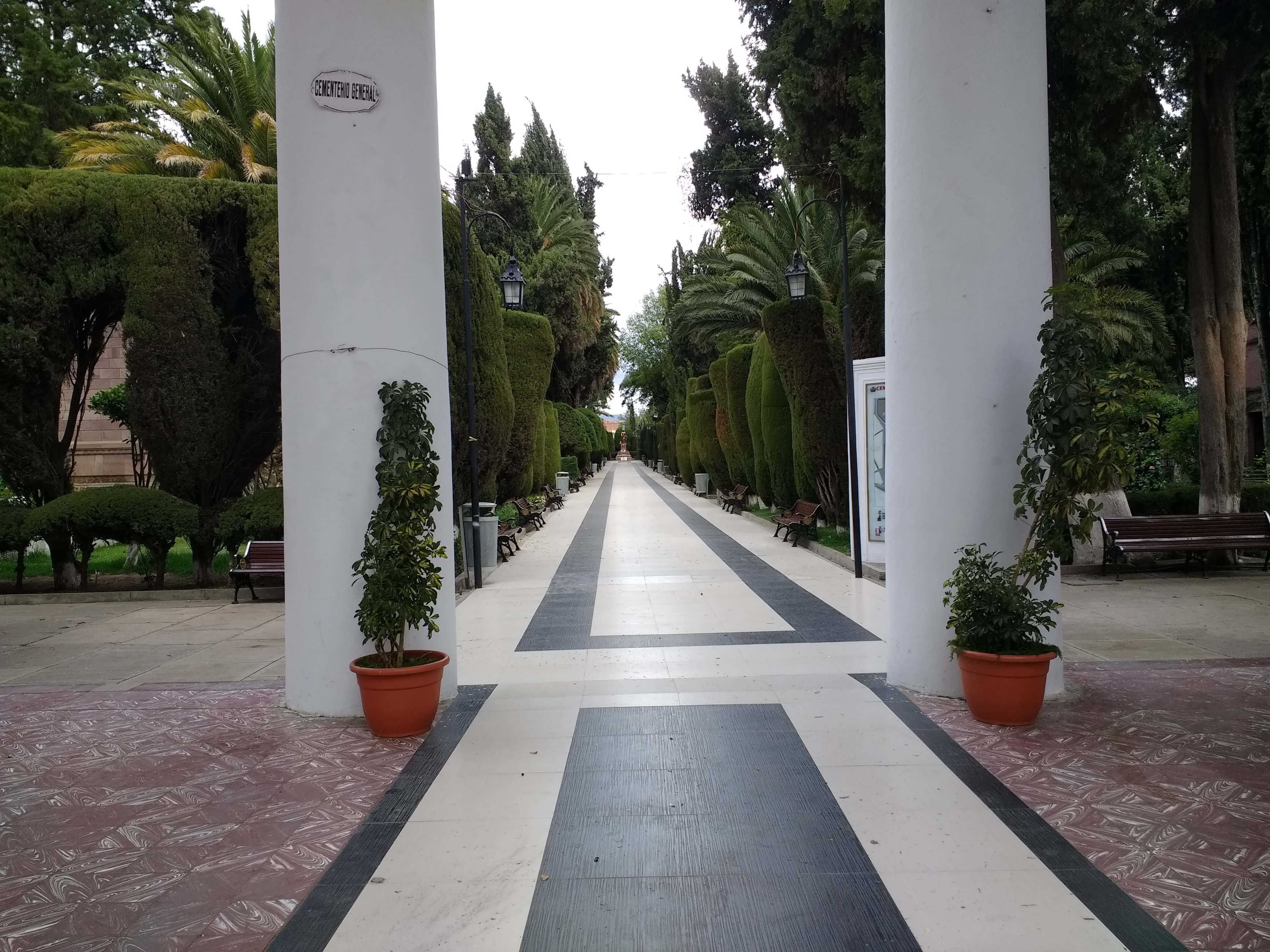
Walking the White City
Sucre is compact enough to explore on foot, and most of its attractions cluster within a few blocks of the central plaza. The shops organize themselves by type in a way that can startle newcomers - an entire block of jewelry stores here, a row of toy shops there, each block its own specialized market. The main square anchors the social life of the city, its benches filled during the day with students, families, and the occasional shoe-shine boy. The surrounding streets hold museums dedicated to indigenous textiles, colonial silver, and Bolivian history, alongside Spanish-language schools that draw a steady stream of foreign students. Sucre has built a reputation as one of the best places in South America to study Spanish, and the student population gives the city a youthful energy that balances its colonial formality.
Tapestries and Market Days
The Sunday market at Tarabuco, about 65 kilometers southeast of Sucre, is the region's most celebrated cultural event. The Tarabuco people - descendants of the Yampara, who inhabited this area long before the Inca arrived - are renowned for their woven tapestries, intricate textiles that encode stories, patterns, and cultural identity in every thread. Different tribal and family groups produce distinctive styles, and experienced buyers can identify a tapestry's origin village by its patterns. In Sucre itself, shops throughout the center sell these textiles alongside other regional crafts. The market at Mercado Central offers another dimension of local life: fruit juice stalls serving multi-vitamin blends, street food vendors, and the everyday commerce of a Bolivian city that has not yet been polished for tourism into something unrecognizable.
Dinosaurs on the Doorstep
Four kilometers northwest of the city, Cal Orck'o - Quechua for "lime hill" - preserves a 300-foot-high limestone wall bearing more than 12,000 individual dinosaur tracks in 465 trackways. The footprints date to approximately 68 million years ago, when the area was a flat lakeshore where theropods, sauropods, ankylosaurs, and ornithopods walked through soft mud. Tectonic forces later tilted the lakebed nearly vertical, creating the dramatic cliff face visible today. The site was discovered in 1994 during quarrying operations and declared a National Monument in 1998. Parque Cretacico, the dedicated museum at the site, offers guided tours and educational exhibits. A section of the wall collapsed in 2010, but extensive documentation had already preserved the record. The juxtaposition is striking: a quiet colonial city perched on the bones of a Cretaceous world, its whitewashed calm belying the violence of the geological forces that shaped the ground beneath it.
From the Air
Located at 19.048S, 65.260W at approximately 2,810 meters (9,220 feet) elevation in the Chuquisaca Department of central Bolivia. The city's white-painted colonial center is visible from the air as a distinctive pale cluster against the surrounding brown hillsides. Cal Orck'o's limestone cliff is 4 km to the northwest. Nearest airport: Alcantari Airport (SLAL), approximately 32 km southeast of the city center, opened in 2016 replacing the older Juana Azurduy Airport. The approach crosses rugged terrain with significant elevation changes. Best viewed at 12,000-14,000 feet to see the colonial grid and surrounding valley topography.