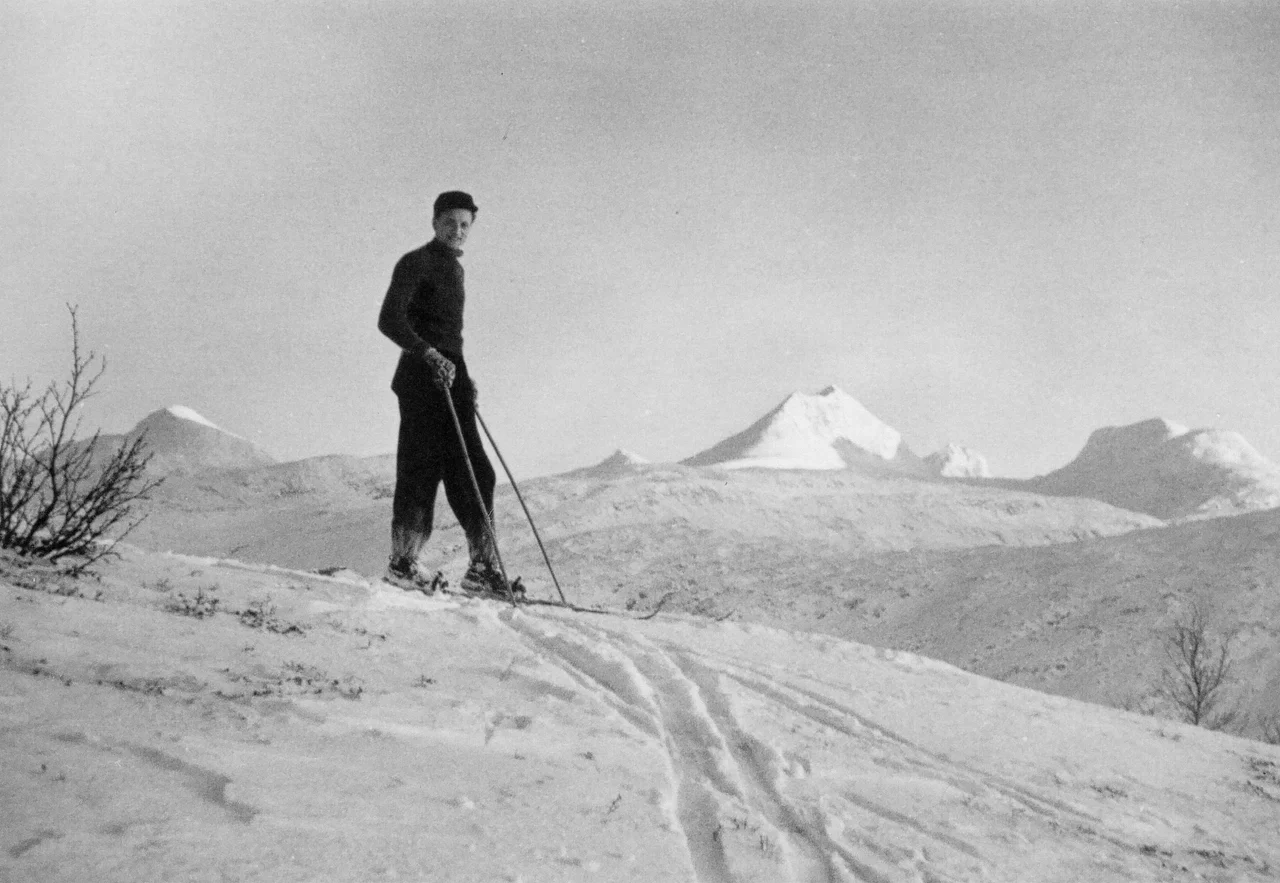

Sulitjelma (mountain)
In 1762 a boundary commission worked its way into these mountains to fix the line between Norway and Sweden, looked hard at the Sulitjelma massif, and wrote it off. The thing could not be climbed. That verdict stood for the better part of a century and a half — until 21 August 1900, when Victor Gatty, Johannes Vigdal and Edvard Haande reached the top of Suliskongen, 1,908 metres, the highest point on the massif and the second-highest mountain in the whole of Northern Norway. The commissioners had not been foolish. They simply came from outside, as almost everyone did, and outsiders had been getting this range wrong for a long time.
A Name Nobody Can Read
Sulitjelma is a Sami name — Sulidælbmá — and Sami place names are, as a rule, descriptive. They tell you what the terrain does. This one has lost whatever it was telling. Proposed readings have included 'eye of the Sun,' 'twilight threshold,' 'divine gate,' 'the eye's threshold' and 'festival mountain,' which is a range wide enough to suggest nobody really knows. Something in that list keeps circling back to thresholds and light, which would be fitting for a massif that sits astride the border at the latitude where the sun stops setting in summer and stops rising in winter. But fitting is not the same as true. The honest position is that the mountain kept its name and gave up its meaning, and then handed the name down to a valley, a river, a glacier, a watercourse and eventually a mining village.
The King and the Swedish Peak
About two-thirds of the massif lies in Norway. Its summit, Suliskongen — the Sulitjelma King — stands in the middle of the Norwegian portion, rising out of the ice with a prominence of over 1,000 metres and glacier on three sides. The second-highest peak is Swedish and is called, straightforwardly enough, Svenska Stortoppen, the Swedish big peak; modern maps no longer mark it by name or height, but older sources put it at 1,869 metres. Norway's own Stortoppen reaches 1,822 metres to the west, and Vágŋatjåhkkå to the south and Sårjåstjåhkkå on the northern rim both stand at 1,690. Between the two great summits, on the connecting ridge at 1,669 metres, sits border cairn number 239A. It is an odd, small, bureaucratic object to find in such a place — a numbered marker in a line of thousands, planted where two states agreed to stop.
Wahlenberg's Summer
The man who finally described the massif properly never claimed a summit. Göran Wahlenberg, a Swedish naturalist and professor at Uppsala, spent the summer of 1807 taking observations across Salten and on Sulitjelma, and published the results in 1808. The report was thorough enough that it made this the best-described mountainous area in Scandinavia — a distinction that says as much about how little else had been surveyed as it does about Wahlenberg. He got there, as every visitor did, on Sami knowledge. It was Sami informants who told him the practical approach: through Vatenbygda above the lakes Nedrevatnet and Øvrevatnet, then up the narrow Langvann Valley to its head at Mount Ráhpes — Ráhpesvarre in Pite Sami, also called Rupsi, 934 metres. Before the commission, before Wahlenberg, before any of them, this was country only the Sami really knew.
The Valley Underneath
The Langvann Valley cuts into the massif on a northwest–southeast axis and is, by the standards of the surrounding rock, fertile. It is also awkward to reach, which is why so few people other than reindeer herders had any business here before the nineteenth century. Through it runs the Sjønstå River, known as the Langvasselva in its upper course, forming the Sulitjelma watercourse; lakes bracket the massif on either side, Låmivatnet and Muorkkejávrre to the south, Bajep and Vuolep Sårjåsjávrre to the north. The valley begins at the village of Sjønstå on Øvervatnet, some seventeen kilometres west of the village of Sulitjelma. In the end it was copper rather than cartography that opened the range: mines at Sulitjelma from 1891 pulled thousands of workers into a valley that a boundary commission had once dismissed as impassable, and they took the mountain's borrowed, untranslatable name with them.
From the Air
The Sulitjelma massif is centred near 67.15°N, 16.38°E, straddling the Norway–Sweden border between Fauske Municipality in Nordland and Arjeplog Municipality in Norrbotten. Suliskongen (1,908 m) is the high point and the dominant visual anchor, with the Sulitjelma Glacier and Stuorrajekna draping the flanks and the Langvann Valley running northwest toward Sjønstå and the Fauske lakes. Minimum safe altitude in this block is well above 10,000 feet; 12,000 to 14,000 gives comfortable clearance and the best view of the ice. Nearest airport is Bodø (ENBO), roughly 100 kilometres west; Gällivare (ESNG) and Arvidsjaur (ESNX) serve the Swedish side. Mountain wave, rotor and rapid whiteout are all realistic here — treat published summit heights as the start of your margin, not the end of it.
Nearby Stories
- Polar Line 13 km away
- Blood Road 15 km away
- Rago National Park 20 km away
- Vuoggatjålme 25 km away
- Laponia 30 km away
- Kungsleden 39 km away
- Nasa Silver Mine 40 km away
- Kallak Mine 98 km away