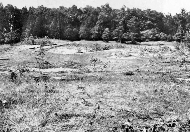
Summer Island Site
The pot sherds came first. In 1959, George I. Quimby arrived on the northwest shore of Summer Island in Delta County, Michigan, collected fragments of broken pottery from the surface, and dug test pits that turned up animal bones and more sherds. He had found the edge of something. Eight years later, David S. Brose returned and excavated extensively, uncovering a stratified site with three distinct cultural layers stacked like chapters in a book no one had opened for centuries. The earliest layer dated to around 70 to 250 A.D. The second to approximately 1290 A.D. The third coincided with the first decades of European contact, around 1620 A.D. or perhaps later. Each layer held its own hearths, its own storage pits, its own style of pottery -- and each told a different story about who had lived here, what they traded, and how far their connections reached. The Summer Island Site, designated 20DE4, was listed on the National Register of Historic Places in 1971. It had earned its place.
The First Fires
The earliest occupants were Middle Woodland period peoples who arrived sometime around 70 A.D. and stayed through roughly 250 A.D. They left behind the outlines of four house structures, their post molds preserved in the soil like architectural blueprints. Archaeologists documented three storage pits, nine refuse pits, six hearths, one internal platform, and four drying racks -- the infrastructure of a community that fished, stored food, and processed their catch on racks above slow fires. Summer Island sits in the archipelago stretching between Wisconsin's Door Peninsula and Michigan's Garden Peninsula, a chain of islands that controlled access to Green Bay. For peoples who lived by fishing, this was prime real estate. The island's position meant seasonal access to spawning runs and the rich waters where Lake Michigan's currents met the bay's warmer flows. These first inhabitants chose their ground well.
Pottery from Distant Hands
The Upper Mississippian component, dating to around 1290 A.D., brought a different culture with distinctive pottery traditions. Researchers identified vessels in the Koshkonong Bold style -- shell-tempered, globular forms with sharply everted flat rims and finger-pinched lips, their necks decorated with vertical finger-trailed lines. Similar pottery appears at Carcajou Point and other Wisconsin sites, linking Summer Island to the broader Oneota cultural tradition. Point Detour Trailed vessels showed shell tempering and smooth surfaces with narrow trailed lines forming nested triangles and chevrons. This later occupation included three hearths, five refuse pits, and two storage pits -- a smaller settlement than the Middle Woodland village, but one connected by trade and style to communities hundreds of miles away. The pottery styles serve as a kind of fingerprint, allowing archaeologists to trace relationships between sites scattered across Michigan, Wisconsin, and beyond.
The Contact Layer
The most recent occupation, radiocarbon-dated to approximately 1620 A.D., places Summer Island at the turbulent intersection of European contact. Sixteen pottery vessels were recovered from this layer, and their origins read like a map of displacement. Some connect to the Potawatomi at nearby Rock Island, thought to be that tribe's original homeland. Ontario Iroquois vessels -- two of them -- came from the Huron or Neutral tribes, peoples originally from Ontario, Canada. One resembles Huron Incised or Lawson Incised styles; the other matches Sidey Notched pottery recorded at sites in Ontario and on Isle Royale in Lake Superior. These same types appear at the Rock Island II site in Wisconsin, associated with a Huron, Petun, and Ottawa community displaced from Ontario during the Iroquois Wars around 1650 to 1653 and later absorbed into the Wyandot tribe. The pottery tells a story of refugee communities finding shelter on Great Lakes islands, carrying their craft traditions with them as they fled warfare and upheaval.
Reading the Layers
What makes the Summer Island Site exceptional is its stratification -- three clean cultural layers separated by time, each preserving a distinct snapshot of life on this small island. Wilbert B. Hinsdale had noted the site in his 1931 Archaeological Atlas of Michigan, but it took decades for full excavation to reveal the depth of the record. The village was occupied by fishermen through at least the end of the 19th century, and then by loggers from nearby Fayette in the early 20th century, adding still more layers to a place that had been drawing people for two millennia. Today the site contributes to a growing understanding of how cultural groups interacted across the Great Lakes basin. The pottery styles, compared against those from other sites, help build a more precise chronology of migration, trade, and displacement. Summer Island is small and remote, easy to overlook from the air, but the ground beneath its surface holds one of the longest continuous records of human habitation in northern Lake Michigan.
From the Air
Located at 45.57N, 86.63W, Summer Island is a small island in northern Lake Michigan in the archipelago between Wisconsin's Door Peninsula and Michigan's Garden Peninsula. Delta County Airport (KESC) in Escanaba, Michigan is the nearest significant airfield, approximately 23 miles to the north. Door County Cherryland Airport (KSUE) at Sturgeon Bay, Wisconsin is across the water to the southwest. From altitude, Summer Island is visible as part of the island chain stretching across the mouth of Green Bay. Look for the larger Garden Peninsula to the northeast and the Door Peninsula extending from the southwest. The archaeological site is on the island's northwest shore. Nearby Fayette Historic State Park on the Garden Peninsula is a visible landmark with its preserved 19th-century iron smelting town along the waterfront.