Sur, Oman
The ghunja ship has become the symbol of Sur, and for good reason. This is a city that built vessels capable of crossing oceans -- to China, India, Zanzibar, Iraq -- long before the age of engines. The sound of adzes shaping teak hulls once defined this port on the Gulf of Oman. Today, the Ministry of Heritage and Culture maintains workshops where craftsmen build models of the old ships, keeping alive a tradition that stretches back to at least the sixth century, when Sur was already an established center of trade with East Africa.
A Port Between Continents
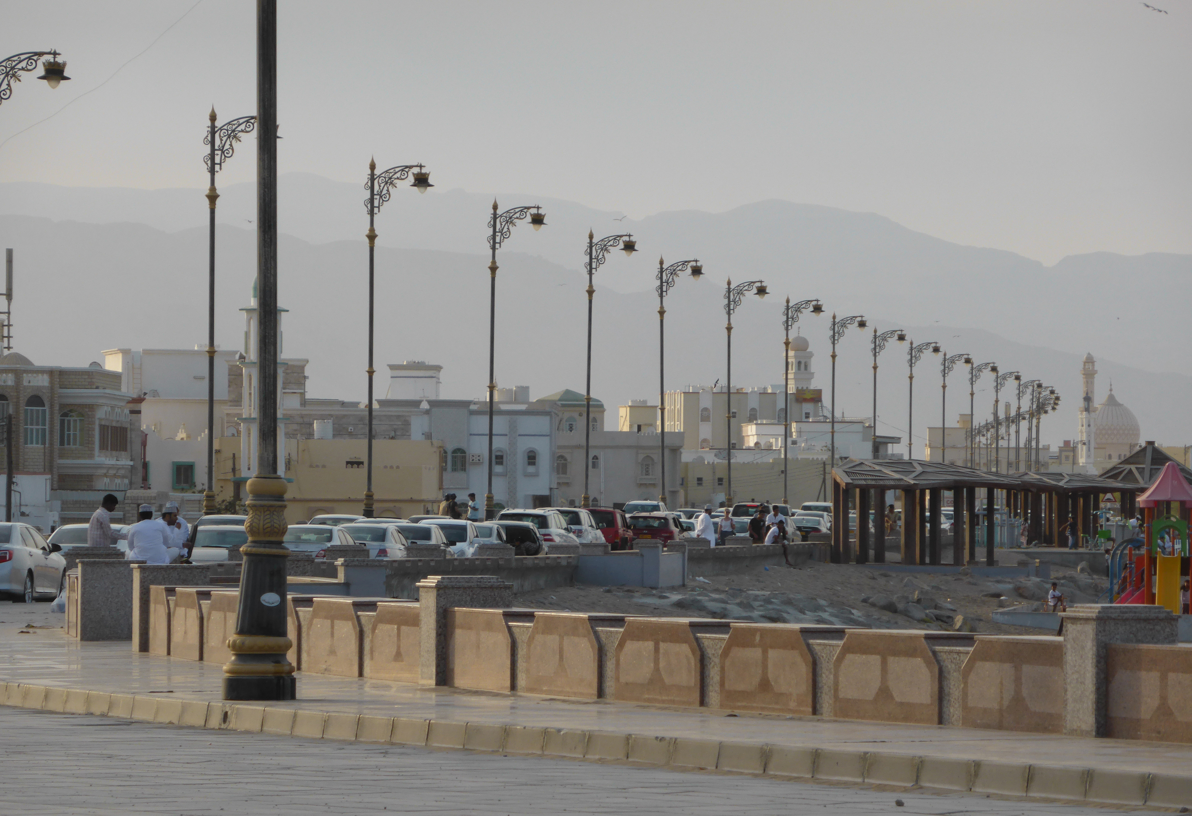
Sur sits 203 kilometers southeast of Muscat on Oman's eastern coast, the capital of Ash Sharqiyah South Governorate. Its location made it a natural hinge between the Persian Gulf and the Indian subcontinent. Ibn Battuta visited in the fourteenth century and described it as a 'roadstead of a large village on the seashore.' By the sixteenth century, the Portuguese had seized it, incorporating Sur into their chain of fortified ports controlling access to the Gulf. Liberation came under Imam Nasir ibn Murshid, and the city experienced an economic revival as a trading hub connecting Oman with India and East Africa. Sambuk and ghanjah vessels, built in Sur's yards, carried goods across the Arabian Sea and were also used for pearl fishing.
Twin Blows
Two events in the nineteenth century shattered Sur's prosperity. First, the British outlawed the slave trade, severing one of the city's major commercial arteries. Then the Suez Canal opened in 1869, redirecting the flow of global shipping away from the routes that had sustained Sur for centuries. Trade with India collapsed. The city that had built ocean-crossing vessels found itself on the wrong side of the world's new commercial geography. The decline was not sudden but steady, a slow draining of purpose that left Sur's watchtowers and forts guarding a harbor with diminishing traffic.
Forts Against the Sea
Sur's fortifications tell the story of a city perpetually under threat. Sinesila Fort, believed to have been built during Imam Nasser bin Murshid's reign, sits on elevated ground overlooking the coast with three circular towers and one square tower. It played a critical role in repelling Portuguese attacks. Bilad Sur Fort, constructed in the early nineteenth century, defended against pirate raids. Al-Ayjah Fort guards the lagoon entrance at sea level, monitoring maritime traffic. Each fort reflects traditional Omani military architecture: thick walls, defensive towers, strategic sightlines. Most were restored in the late twentieth century as part of national preservation efforts.
Turtles at the Edge
About sixty kilometers from Sur, at Ras Al Jinz, the easternmost peninsula in Oman hosts one of the world's most important populations of endangered green sea turtles. An estimated twenty thousand or more green turtles nest here annually across the reserve's coastline, hauling their bodies from the waves to lay eggs on the beach. Of the roughly one hundred eggs each female lays in a single night, only one hatchling may survive to maturity. The Ras Al Jinz Turtle Reserve was designated a nature reserve on April 23, 1996. Visitors walk to the beach at night to witness the nesting, one of nature's most grueling reproductive rituals.
Cyclones and Resilience
Sur endures a hot desert climate with almost no rainfall. The coast offers little relief from the heat but ensures that nighttime temperatures never plunge. March tends to be the wettest month, September the driest. Occasionally, the Arabian Sea delivers something far worse than drought. Cyclone Gonu battered Sur in 2007, and Cyclone Phet struck in 2010. The city rebuilds each time. Traditional crafts persist: fishing, weaving, blacksmithing, palm weaving, carpentry, and the production of Omani traditional doors with their intricate carved patterns. Sur's craftsmen still make daggers and jewelry, still weave the striped sabaya cloth and the hasar headscarf. The workshops endure because the skills are not ornamental. They are the architecture of an identity shaped by the sea.
From the Air
Coordinates: 22.57N, 59.53E, on Oman's northeastern coast. Best viewed at 5,000-10,000 ft to see the harbor, watchtowers, and the coastal forts. The lagoon and dhow yards are visible from altitude. Muscat International (OOMS) is approximately 200 km northwest. Ras al Hadd Airport (planned, incomplete) is 60 km southeast. Hot desert conditions; cyclone season occasionally disrupts between May and November.