Sycamore Shoals
Dragging Canoe warned them. The young Cherokee war chief told Richard Henderson and Daniel Boone that if settlers crossed onto the lands being sold at Sycamore Shoals, they would find the ground 'dark and bloody.' Then he walked out of the negotiations. It was March 1775, and the rocky stretch of rapids on the Watauga River in what is now Elizabethton, Tennessee, was hosting one of the largest private land transactions in American history. Within five years, the same shoals would serve as the mustering ground for a frontier army that helped turn the tide of the American Revolution. Few places in the eastern United States can claim so much history per square foot of riverbed.
Old Fields and New Arrivals
The Cherokee called the flat land around Sycamore Shoals a gathering place and hunting camp. Archaeological excavations confirm Native Americans had lived near the shoals since prehistoric times. By the 1760s, long hunters like Julius Dugger and Andrew Greer were operating stations in the Watauga Valley. In 1769, William Bean, traditionally recognized as Tennessee's first permanent white settler, built a cabin at the confluence of Boone's Creek and the Watauga, a short distance downstream from the shoals. Explorer James Robertson, who would later help found Nashville, identified the alluring flatlands at the shoals in 1770. Early settlers called them the 'Old Fields' because they were thick with native cane rather than trees, resembling abandoned farmland. Robertson returned in late 1770 or early 1771 with sixteen families. A community was taking root in country that belonged, by every legal measure, to the Cherokee.
The Germ-Cell of Tennessee
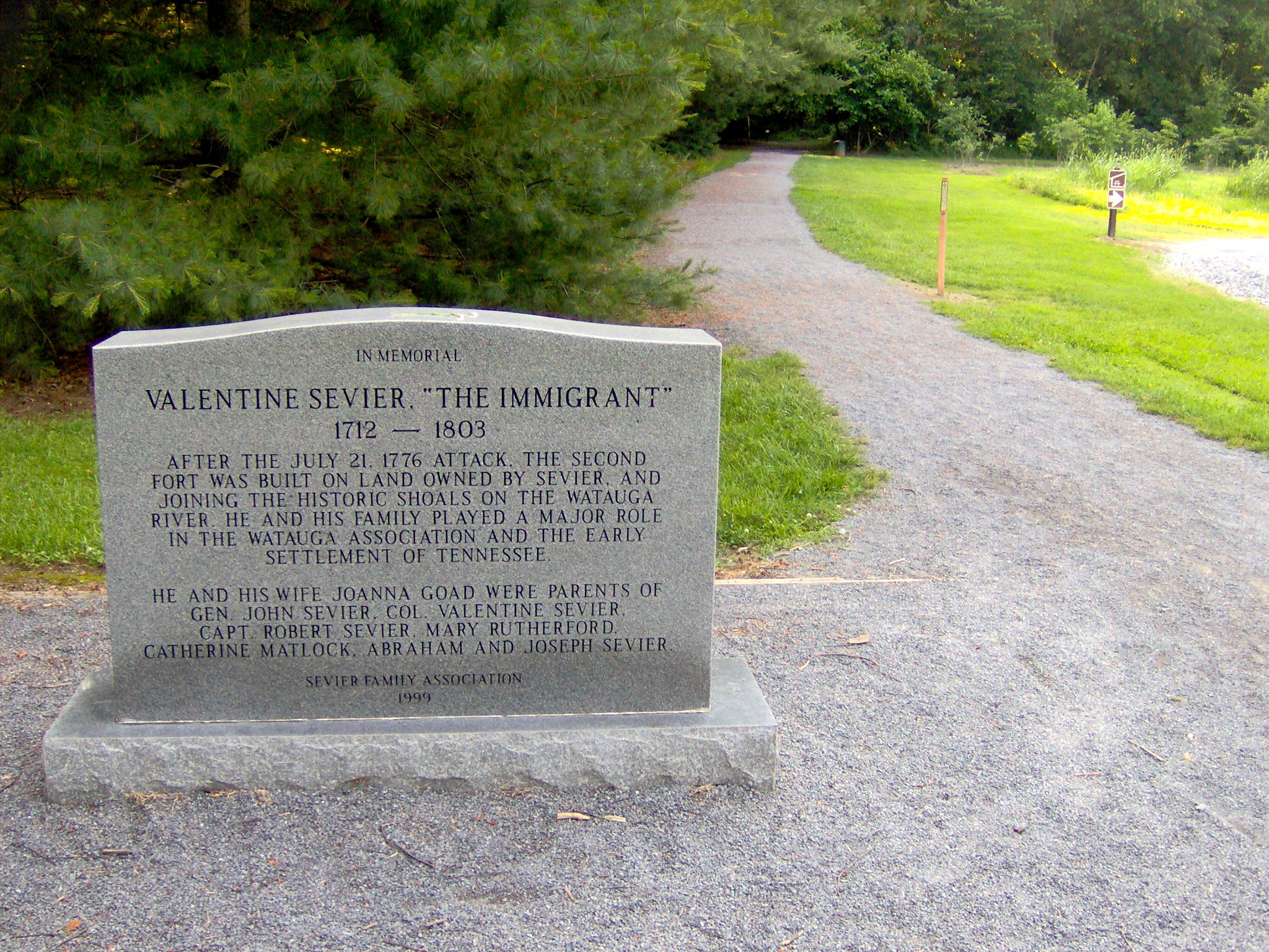
The Watauga settlers had a problem: they were outside the jurisdiction of both Virginia and North Carolina. There was no law, no way to register land deeds, no system for punishing crimes. In May 1772, they drafted the Articles of the Watauga Association, one of the first written constitutions west of the Appalachian Mountains. Historians have called it the 'germ-cell' of what would become Tennessee. That same year, James Robertson and James Bean traveled to the Cherokee capital of Chota and negotiated a ten-year lease for the Watauga Valley lands. The Carter Mansion, built between 1775 and 1780 by John Carter and his son Landon, is the oldest frame house still standing in Tennessee and may be the only surviving material link to the Watauga Association. When Tennessee was admitted to the Union in 1796, Carter County was named for Landon Carter and the county seat of Elizabethton for his wife, Elizabeth Maclin Carter.
The Deal That Bought Kentucky
Richard Henderson was a North Carolina land speculator who learned from his friend Daniel Boone that the Cherokee were willing to sell. Between March 14 and 17, 1775, Henderson, Boone, and their associates met at Sycamore Shoals with Cherokee leaders Attakullakulla, Oconastota, and others. The resulting Treaty of Sycamore Shoals, sometimes called the Transylvania Purchase, transferred a vast territory between the Kentucky River and Cumberland River to Henderson's Transylvania Company for 10,000 pounds sterling of trade goods. It was one of the largest private land deals in colonial history, encompassing a large portion of modern Kentucky and northern Tennessee. Only Dragging Canoe dissented, warning of bloodshed. After the treaty was signed, Boone headed north to blaze the Wilderness Road, connecting the new purchase to the Holston settlements and opening the path to Kentucky.
Fort Watauga and the Cherokee War
The warning came true in July 1776. Cherokee forces invaded the Nolichucky, Holston, and Watauga settlements. A contingent led by Old Abraham of Chilhowee reached Fort Watauga, where the settlers had gathered after being warned by Nancy Ward, a Cherokee Beloved Woman who used her authority to spare the life of captive Lydia Russell Bean, wife of early settler William Bean, who had been sentenced to burn at the stake. Under the leadership of John Carter, James Robertson, and John Sevier, the Wataugans withstood a two-week siege. A relief force under William Christian arrived and struck the Overhill Cherokee towns. The following year, the Cherokee signed the Treaty of Long Island, formally ceding the Sycamore Shoals area to the United States.
The Mustering That Changed a War
In late 1780, British Major Patrick Ferguson marched an army of Loyalists into the Appalachian Mountains to cover Cornwallis's invasion of North Carolina. Ferguson sent word to the frontier settlements: surrender your arms or face destruction. The response gathered at Sycamore Shoals on September 25, 1780. Four hundred Virginians under William Campbell, 240 Sullivan Countians under Isaac Shelby, and 240 Washington Countians under John Sevier assembled at the shoals. Local families supplied food, money, and gunpowder. The force marched across the mountains, linking up with North and South Carolina militias. On October 7, these Overmountain Men engaged Ferguson's Loyalists at the Battle of Kings Mountain, killing 157 including Ferguson, wounding 163, and capturing 698, while suffering fewer than 100 casualties. The victory forced Cornwallis to abandon his invasion of North Carolina and is widely regarded as a turning point of the Southern campaign. Today, Sycamore Shoals State Historic Park preserves the shoals and a reconstructed Fort Watauga. The Overmountain Victory National Historic Trail connects the mustering ground with Kings Mountain National Military Park. Fly fishermen now wade the same shallow rapids where Cherokee gathered and where an army formed that helped win American independence.
From the Air
Located at 36.34N, 82.26W in Elizabethton, Tennessee, along the Watauga River. Sycamore Shoals State Historic Park and the reconstructed Fort Watauga are visible along the south bank of the river. The shoals themselves appear as a wide, rocky, shallow stretch of the Watauga. Best viewed at 2,000-4,000 feet AGL. Nearby airports: K0A9 (Elizabethton Municipal Airport, adjacent, 1 nm south), KTRI (Tri-Cities Airport, 15 nm northwest). The Watauga River winding through the valley is the primary visual landmark. The Doe River confluence is nearby. The Appalachian Mountains rise prominently to the east and south.