Table Mountain National Park
Were it not for the Cape Flats -- a broad stretch of wind-deposited sand between the peninsula and the mainland -- Table Mountain would be an island. Geologically, it nearly is: a 50-kilometer spine of sandstone over granite, running from the iconic flat-topped summit behind Cape Town all the way south to Cape Point, surrounded by two oceans. Table Mountain National Park protects 221 square kilometers of this near-island, encompassing some of the richest plant diversity on Earth and a coastline that has been shaping human history since the Khoekhoe people lived here long before any European ship rounded the cape.
Where Two Oceans Almost Meet
A common misconception places the meeting of the Atlantic and Indian Oceans at the Cape of Good Hope. In fact, the most southwestern point of Africa is here, but the continent's true southern tip lies 150 kilometers east at Cape Agulhas in the Overberg. The park nonetheless commands a stretch of coast where cold Atlantic and warmer False Bay waters create dramatically different conditions on opposite sides of the peninsula -- cool, windswept beaches on the west, and sheltered, milder shores to the east. A marine protected area extends several kilometers offshore from Mouille Point around the coast to Muizenberg, with restricted zones protecting kelp forests, reef fish, and a colony of African penguins at Boulders Beach near Simon's Town.
The Kingdom of Fynbos
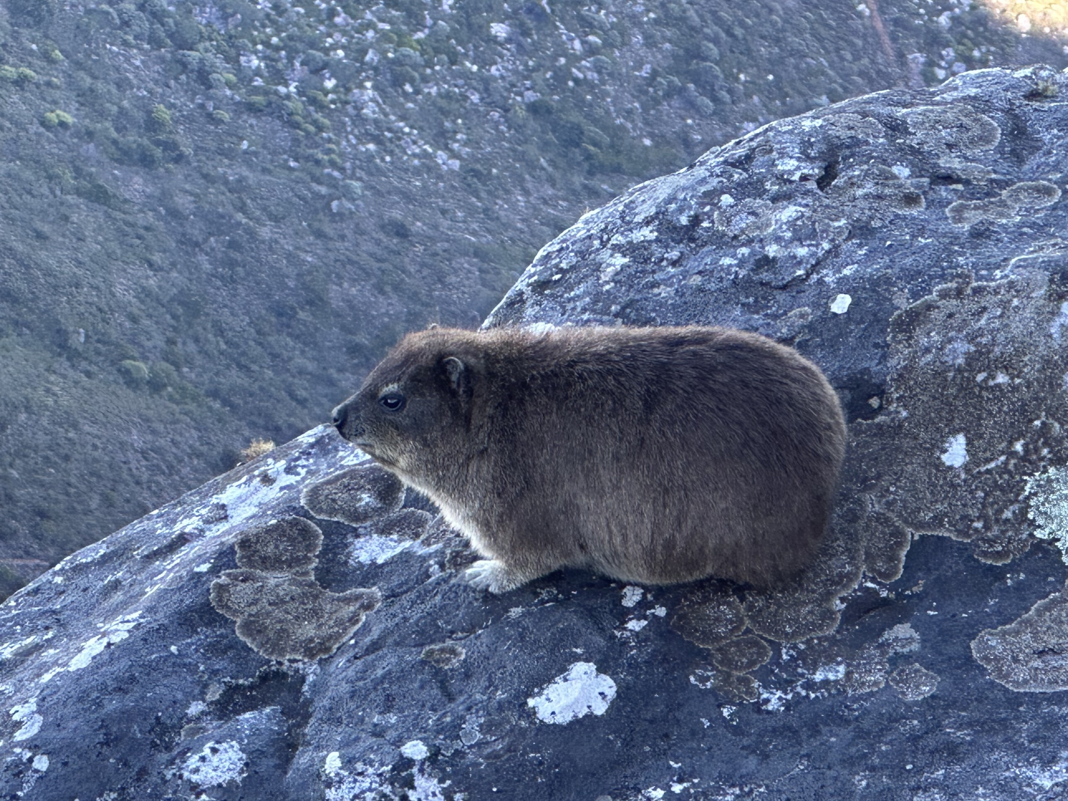
The Cape Floristic Region, of which the park forms a part, earned UNESCO World Heritage status in 2004, and for good reason: it is the smallest of the world's six floral kingdoms and the most species-dense. The park's fynbos vegetation -- the Afrikaans word means "fine bush" -- includes thousands of species found nowhere else on Earth. The ecology is fire-adapted and nutrient-poor, which paradoxically drives its astonishing diversity, since plants must specialize ruthlessly to survive. Amid the fynbos, ostriches pick through the scrub near Cape Point, and various antelope species graze the lower slopes. The peninsula's most notorious residents, however, are its chacma baboons -- large, opportunistic, and thoroughly unintimidated by tourists. Park authorities warn visitors to hide food, avoid eye contact, and walk away slowly if approached.
From Dias to the Docks
In 1488, the Portuguese explorer Bartolomeu Dias became the first European to round the cape, which was named Good Hope because it offered a route to India and the spice trade. By 1652, the Dutch had established a settlement at Cape Town to resupply ships plying between Europe and the Far East. The Khoekhoe people, the peninsula's inhabitants before European arrival, were displaced by this colonial expansion. A lighthouse was built at Cape Point in 1859, perched 238 meters above sea level -- so high that low clouds sometimes obscured its beam, eventually requiring a replacement at a lower elevation. The southern part of the peninsula was managed as a game park for many years before Table Mountain itself was declared a national park in the 1960s under the Table Mountain Preservation Board.
Summit and Cable
The Table Mountain Aerial Cableway carries visitors from Tafelberg Road, about 302 meters above sea level, to the plateau at 1,067 meters. The ride takes roughly five minutes and the rotating cable car floor provides a full panorama during the ascent. High winds close the cableway frequently, a reminder that the mountain's weather is its own. For those who prefer the climb, a variety of hiking trails range from moderate scrambles to serious mountain routes that demand fitness, preparation, and proper equipment. The steep cliffs that ring the summit make route choice critical -- hikers who lose their way face genuine danger. The peninsula's Mediterranean climate brings mild, wet winters and dry, warm summers, with rainfall varying dramatically across short distances: Newlands, on the mountain's eastern slopes, receives about 1,500 millimeters annually, while Camps Bay, just nine kilometers away on the west, gets only 500.
From the Air
Located at 33.97°S, 18.43°E, the park stretches along the entire Cape Peninsula from Table Mountain (1,084 m) south to Cape Point. Nearest airport: Cape Town International (FACT). The flat top of Table Mountain is one of the most distinctive natural landmarks in the world from the air. The peninsula extends roughly 50 km south, flanked by the Atlantic Ocean to the west and False Bay to the east. The cableway station on the north face of Table Mountain and the lighthouse at Cape Point are additional visual references.