Takalik Abaj
The name means 'Standing Stone' in K'iche' Maya, and the stones at Tak'alik Ab'aj have been standing for a very long time. Occupied from the ninth century BC through at least the tenth century AD, this archaeological site in southwestern Guatemala sits at a crossroads that mattered for nearly two millennia, a place where Olmec influence gave way to Maya innovation, where cacao wealth funded monumental sculpture, and where trade routes connecting the Pacific coast to the Guatemalan highlands converged on a ridge between two rivers. In 2023, UNESCO named it a World Heritage Site.
Where Two Civilizations Met
Takalik Abaj holds one of the greatest concentrations of Olmec-style sculpture found anywhere outside the Gulf of Mexico, including a possible colossal head and numerous petroglyphs. But the site is not merely an Olmec outpost. It is one of several rare Mesoamerican locations where both Olmec and Maya artistic traditions appear side by side, making it a crucial record of the transition between these two civilizations. By about 400 BC, Takalik Abaj was already showing the first blossoming of distinctly Maya culture. A royal tomb found at the site, along with hieroglyphic inscriptions on Stelae 2 and 5 dating to the late first and early second centuries AD, rank among the earliest examples of Maya writing from anywhere in the Maya world. The site's ancient name may have been Kooja, meaning 'Moon Halo,' the name of one of the highest-ranking lineages of the Mam Maya.
A City on the Trade Routes
Geography made Takalik Abaj wealthy. Sitting on a north-south ridge between the Nima and Ixchaya rivers in the foothills of the Sierra Madre, the city controlled a natural crossing point that funneled long-distance trade routes through its territory. Cacao, the prized bean that served as both currency and sacred drink across Mesoamerica, grew abundantly in the surrounding lowlands and was still being produced in the region when the Spanish arrived in the sixteenth century. Obsidian, the volcanic glass that served the Maya the way steel serves the modern world, flowed through the site from highland sources at El Chayal and San Martin Jilotepeque. Evidence shows the city traded with Kaminaljuyu in the highlands and participated in a network stretching from Mexico to El Salvador. Finds at the site even indicate contact with the distant metropolis of Teotihuacan in the Valley of Mexico.
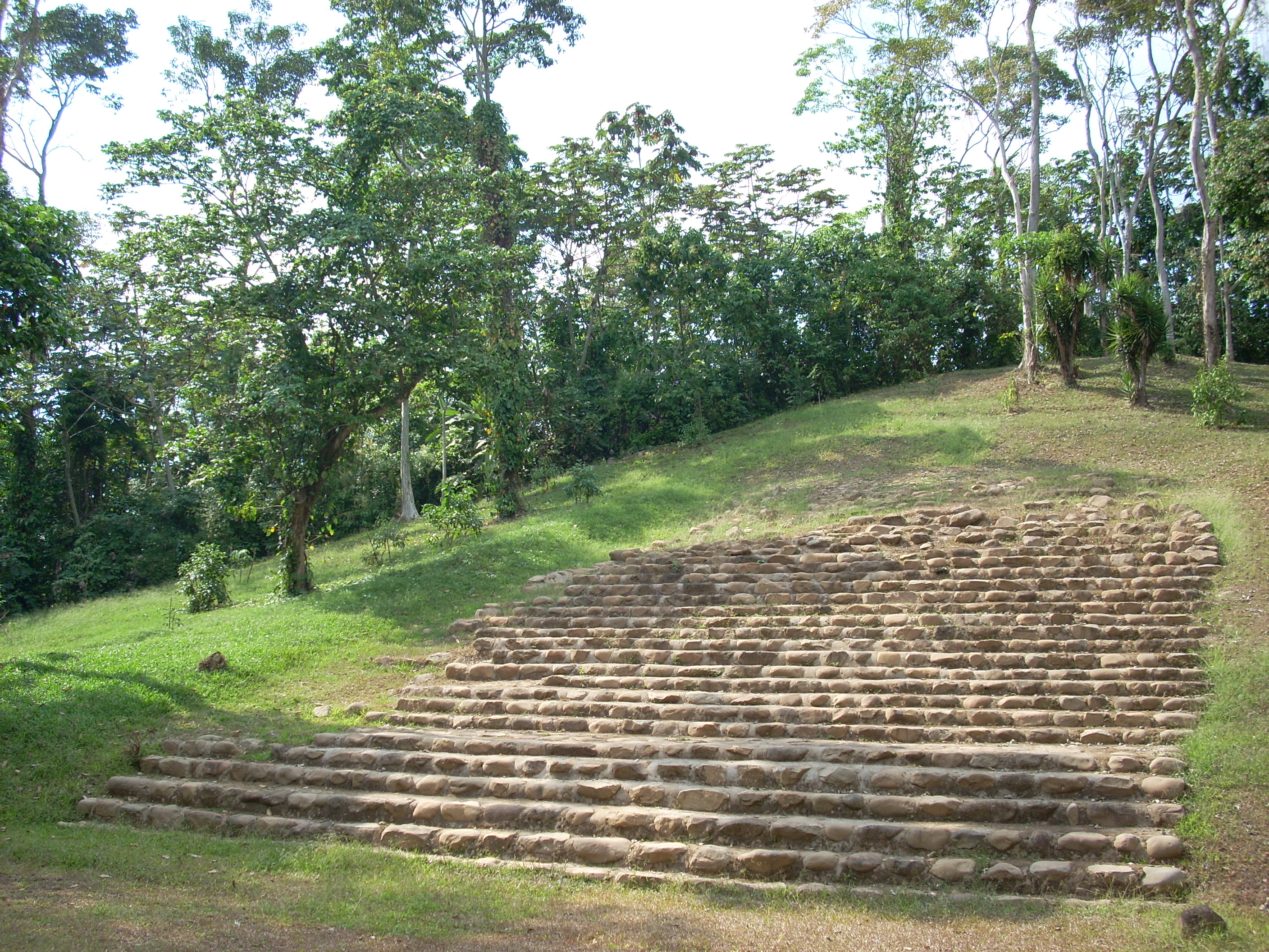
Nine Terraces, Four Groups, and Centuries of Construction
At its height, Takalik Abaj was a sizeable city with monumental architecture clustered into four main groups spread across nine terraces. Some of these terraces were natural ridgeline features, but others were artificial constructions requiring enormous investments of labor and material. The site included a sophisticated water drainage system, evidence of advanced urban planning. During the Late Preclassic period, between 300 BC and AD 200, the city grew to cover more than four square kilometers and became a true urban center. Structures were built from volcanic stone held together with clay. Structure 7 reached its maximum dimensions during this period, and the inhabitants erected stelae paired with altars, a tradition that would become central to Maya ceremonial life across the lowlands for centuries to come.
Conquest, Destruction, and Distant Empires
Not everything at Takalik Abaj survived intact. During the Early Classic period, beginning around the second century AD, many of the site's pre-existing monuments were deliberately smashed. The timing coincides with evidence of Teotihuacan influence: new ceramic styles arrived from the highlands, including the distinctive Solano tradition of brick-red ware with bright orange micaceous slip. The stela tradition that Takalik Abaj helped pioneer, pairing carved portraits of rulers with inscribed dates, was adopted across the Maya lowlands, particularly in the Peten Basin. The city had helped create a cultural language that outlived and outgrew it.
Standing Stones, Still Speaking
Today Takalik Abaj sits among five coffee plantations in Retalhuleu department, about 120 miles from Guatemala City. The subtropical moist forest surrounding the site receives over 3,200 millimeters of rain annually, nurturing the same lush vegetation that attracted the site's first settlers, who arrived when the area was still thick forest and began clearing land to cultivate maize. Excavation continues, and the site keeps yielding surprises. Stela 87 was presented as recently as 2020. For a place whose name translates to Standing Stone, the description remains apt: the monuments still stand, and they still have more to tell us.
From the Air
Located at 14.646°N, 91.736°W in southwestern Guatemala's Pacific piedmont at approximately 600 meters (1,970 feet) elevation. The site lies among coffee plantations in the foothills of the Sierra Madre, between the Nima and Ixchaya rivers. Nearest major airport is Retalhuleu (MGRT). The terrain is hilly with subtropical vegetation; the archaeological site's nine terraces and cleared monument groups may be partially visible from low altitude. Best viewed on approach from the south, where the ridge descending from the highlands is most apparent.