Takatenjin Castle
The name translates roughly as "Castle of the High Heavenly Gods," and approaching Mount Kakuo from the valley floor, you begin to understand why. Sheer cliffs drop away on every side. A single narrow pathway winds upward through dense forest to the summit, 200 meters above the plains of Totomi Province. For the warlords of the Sengoku period, Takatenjin Castle was not merely a fortress. It was the key -- the strategic chokepoint that controlled the Tokaido highway and access to the rich coastal lands of what is now Shizuoka Prefecture. Whoever held Takatenjin held the road between east and west. Armies broke themselves against its walls for decades.
A Fortress Shaped by the Mountain
Takatenjin Castle takes its form from the landscape itself. The layout follows a Z-shaped ridgeline across two mountain peaks connected by a saddle just 50 meters long and only 10 meters wide -- a bottleneck that made any assault between the two baileys suicidal. The eastern peak held the original fortification and inner bailey, protected by terraced earthen ramparts and dry moats carved from the mountainside. The western peak was added later when the Takeda clan expanded the defenses. The entire complex stretched 400 meters long by 200 meters wide. There were no stone walls. The mountain's nearly vertical slopes made them unnecessary. This was a yamashiro -- a mountain castle -- in its purest form, where geology served as the primary defense. Attackers faced exhausting climbs under fire before reaching any defensible position.
Where a Father Failed and a Son Triumphed
The castle's origins are murky, likely dating to the 15th century when the minor Kushima clan built fortifications here as retainers of the powerful Imagawa. After the Imagawa fell, Tokugawa Ieyasu claimed the castle and left it under the Ogasawara clan. Then in 1571, Takeda Shingen arrived with 20,000 men. Shingen was arguably the most feared military commander in Japan. He swept across Totomi Province, capturing territory in every direction. But Takatenjin held. The mountain fortress repelled his entire army. It was Shingen's son, Takeda Katsuyori, who finally broke through during the Siege of 1574. Katsuyori gained enormous prestige from capturing the castle where his legendary father had failed -- a reputation that would prove dangerously fragile.
Starvation and the Final Stand
Katsuyori's glory lasted barely a year. After the Takeda suffered devastating losses against the Oda-Tokugawa alliance at the Battle of Nagashino in 1575, supply lines to Takatenjin became impossible to maintain. The garrison, under castellan Okabe Motonobu, endured a slow siege that tightened year by year. By 1580, Tokugawa Ieyasu had abandoned direct assaults entirely, instead constructing six blockade forts around the mountain to starve the defenders out. By March 1581, the castle had run out of food. Motonobu led his remaining 700 men in a final midnight charge against the Tokugawa lines. All were killed. The castle that had resisted Takeda Shingen's 20,000 warriors fell not to battle but to patience and hunger. It was abandoned soon after, its strategic importance fading with the Takeda clan itself.
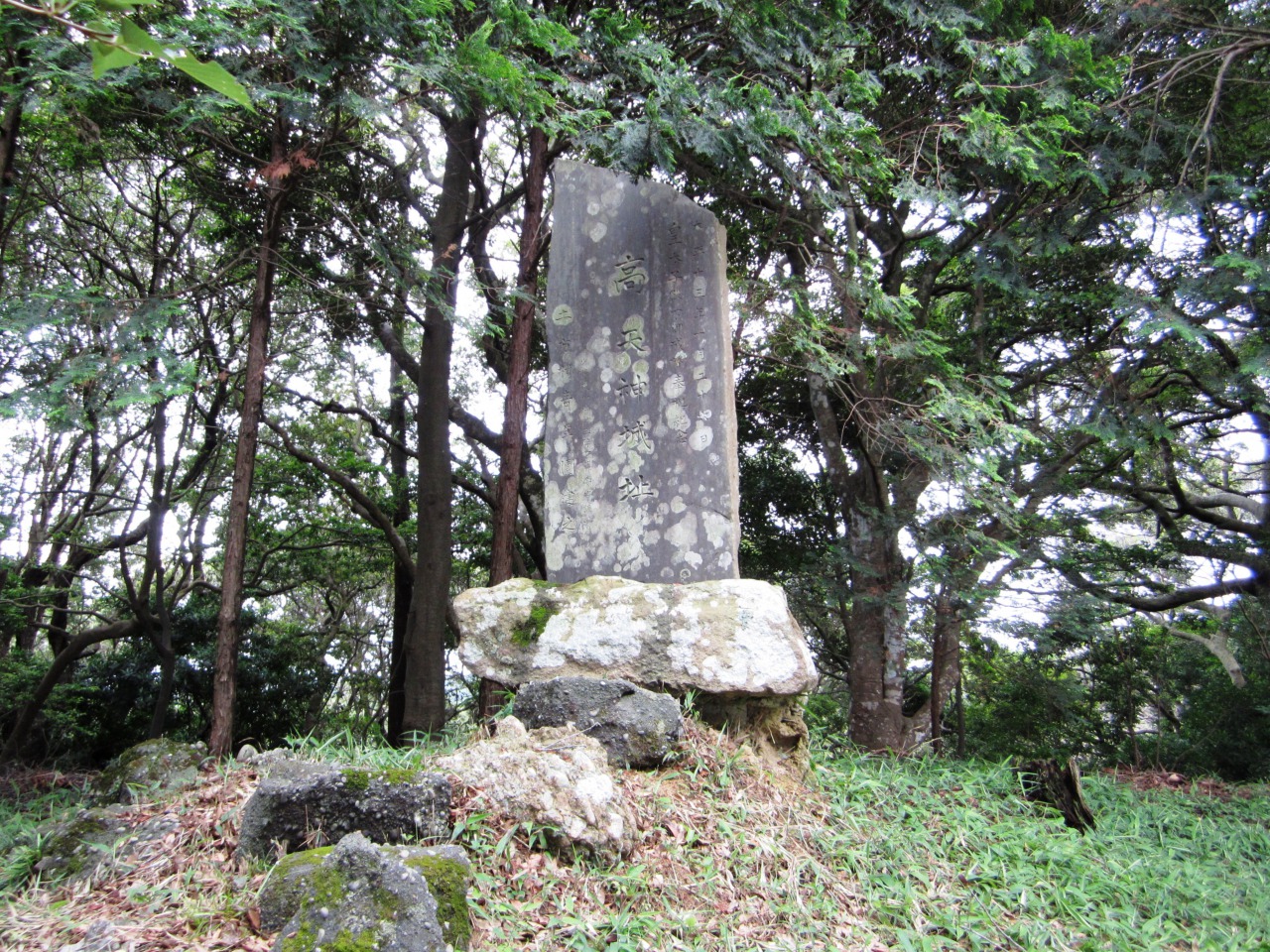
Ruins and Remembrance
The city of Kakegawa maintains the castle ruins today, with several hiking trails winding up the mountain through the same terrain that once made the fortress impregnable. At the summit, a Shinto shrine sits alongside monuments to war dead from the Satsuma Rebellion and the First Sino-Japanese War -- later conflicts layered onto much older ground. Before World War II, a replica tenshu (castle tower) was constructed on the summit, but lightning destroyed it, and only a concrete base remains. The ruins were designated a National Historic Site in 1975, with the protected area expanded in 2007. In 2017, Takatenjin was listed among the Continued Top 100 Japanese Castles, a recognition of both its historical significance and the remarkable preservation of its earthwork defenses.
Reading the Landscape from Above
From the air, the castle's strategic logic becomes immediately clear. Mount Kakuo rises sharply from the surrounding farmland, its twin peaks and connecting saddle still tracing the Z-shape of the original fortification. Eleven kilometers to the south, the Tokaido corridor and Pacific coastline stretch toward Hamamatsu. To the north, the mountain terrain of central Shizuoka folds into the ridges that once marked the boundary between Totomi and Suruga provinces. The positions of Ieyasu's blockade forts -- though long reclaimed by forest -- can still be imagined as a ring of high ground encircling the mountain. It is a landscape that explains itself: one look at the topography reveals why this single peak commanded attention from every army that marched through central Japan.
From the Air
Located at 34.698N, 138.035E on Mount Kakuo, southeast of central Kakegawa, Shizuoka Prefecture. The castle ruins sit at approximately 200 meters elevation with the distinctive twin-peaked Z-shaped ridgeline visible from the air. Look for the forested mountain rising sharply from surrounding farmland. The Tokaido corridor runs 11 km to the south along the Pacific coast. Nearest airport is Mt. Fuji Shizuoka Airport (RJNS), approximately 16 km northeast. Hamamatsu Air Base (RJNH) is roughly 40 km west. Best viewed at 2,000-3,000 feet AGL. Clear weather recommended for spotting the earthwork terracing on the slopes.