Tama River
In the summer of 2002, an arctic bearded seal appeared in the Tama River near the Maruko Bridge and became a national celebrity. Newspapers named him Tama-chan. Television crews staked out the riverbanks. The seal, thousands of kilometers south of his normal habitat, seemed perfectly content in the murky waters of suburban Tokyo. He was not the strangest visitor. Piranhas have been caught in the Tama. Red-eared slider turtles bask on its rocks. Tropical fish, abandoned by pet owners, now survive the winters thanks to warming water temperatures and heated runoff from sewage treatment plants. The Tama River is not the pristine mountain stream its name might suggest. It is something stranger and more interesting -- a Class 1 waterway that begins on a mountain in Yamanashi Prefecture and ends at Tokyo Bay beside Haneda Airport, passing through national parkland, kayaking rapids, bouldering sites, and some of the most expensive real estate in Asia along the way.
Mountain to Megalopolis
The Tama begins on Mount Kasatori in Koshu, Yamanashi Prefecture, as a mountain stream threading through forested valleys. It flows east into the rugged western reaches of Tokyo, where the Ogochi Dam impounds Lake Okutama, a reservoir that helps supply the capital's drinking water. Below the dam, the river enters Chichibu Tama Kai National Park and passes through the city of Ome, where the water still runs clear over boulders. From there it flows southeast between Tama Hills and the Musashino Terrace, picking up tributaries and sediment. At Hamura, the historic Tamagawa Aqueduct -- built by the Tamagawa brothers in 1653 to bring water to Edo -- draws from the river, one of the oldest water infrastructure projects in Tokyo's history. Further downstream, the Tama becomes the boundary between Tokyo and Kawasaki, widening into a broad floodplain lined with parks, playing fields, and bike paths before emptying into the industrial waterfront of Tokyo Bay.
A River That Moved Itself
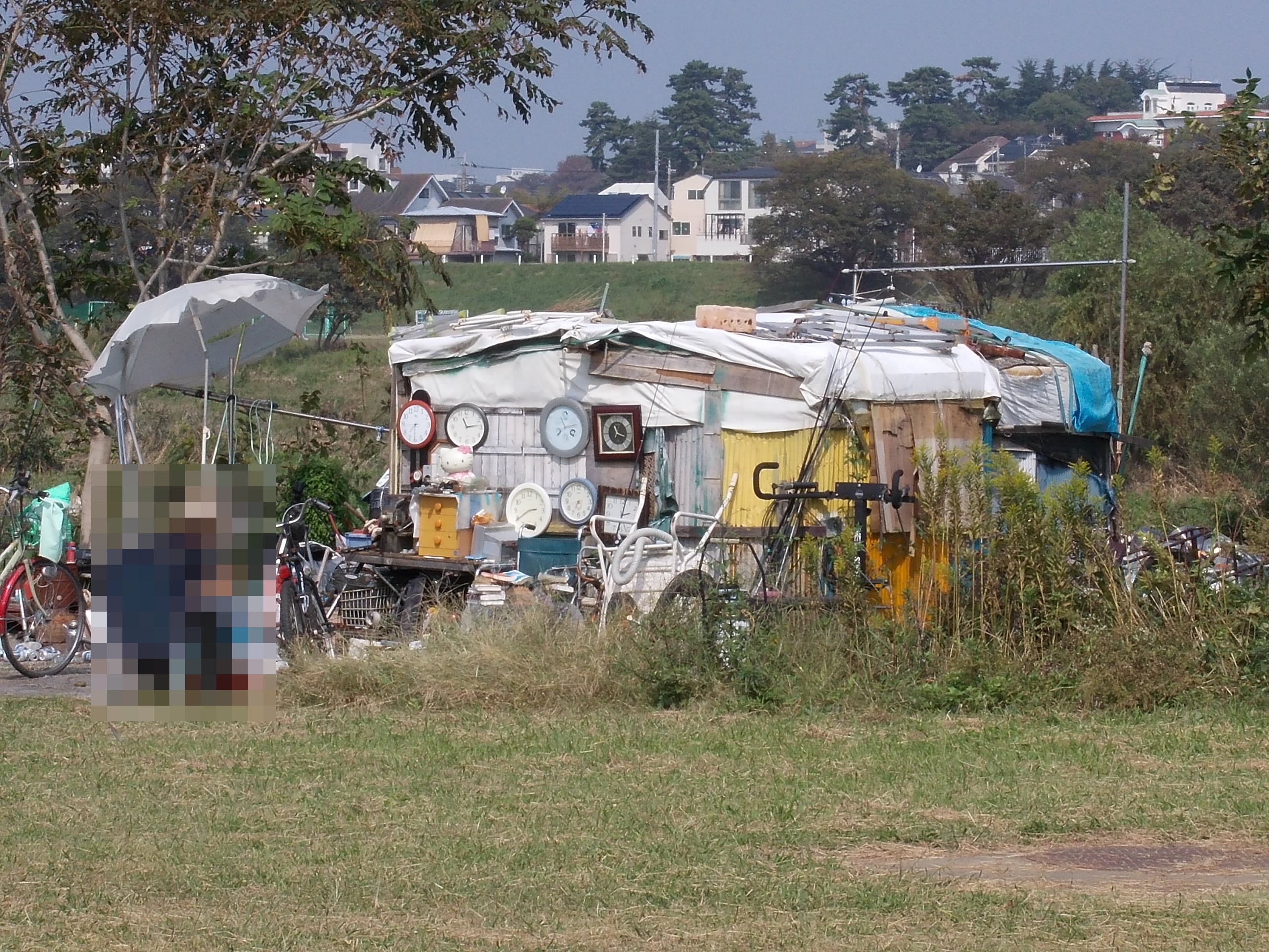
The Tama has never stayed put. Historically prone to catastrophic flooding, the river changed course multiple times after major events, sometimes splitting existing settlements in two. The result is a geographic curiosity: place names on opposite banks of the river match, like Todoroki, because they were once the same community before the water carved a new channel between them. The current course dates to a massive flood in 1590. Levees have lined the banks for centuries, but the water has breached them repeatedly. A 1974 typhoon burst a levee in Komae and washed away 19 houses -- the last breach on record. Since then, extensive engineering has held the river in check, though Typhoon Hagibis in October 2019 pushed floodwaters high enough to inundate parts of Kawasaki near Musashi-Kosugi Station, knocking out power and damaging infrastructure. The levees are built deliberately far from the riverbanks, creating wide grassy floodplains that double as Tokyo's most accessible open space.
The Comeback
Rapid postwar urbanization nearly killed the Tama. From the 1950s onward, pollution destroyed water quality in the lower reaches, rendering the river uninhabitable for most species. Then came the turnaround. Pollution controls tightened. In 1969, the river was designated a wildlife protection zone. Weirs were fitted with fish ladders, triggering a steep increase in ayu -- sweetfish -- migrating upstream. Today, carp, rainbow trout, cherry salmon, and char inhabit the upper stretches in numbers sufficient for limited commercial fishing. The birdlife is remarkable for a metropolitan river: Japanese cormorants, kingfishers, white wagtails, mandarin ducks, grey herons, and little egrets are regular sightings. A Kawasaki resident named Mitsuaki Yamasaki even established a 'fish shelter' in the early 2000s to house pet fish that owners would otherwise dump into the current, trying to stem the flow of invasive species that warmer temperatures have allowed to thrive.
Playing Fields and Skylines
The grassy floodplains between the levees have become one of Tokyo's great recreational corridors. Near Mitake, the river runs fast enough for whitewater kayaking -- the Japan National Slalom Kayak competitions are held here -- and the boulders scattered across the riverbed form one of Tokyo's premier rock-climbing spots, including famous boulder problems on rocks known as 'Ninja' and 'Deadend.' Further downstream, the open space fills with baseball diamonds, soccer pitches, rugby fields, playgrounds, and golf driving ranges. A continuous bike path and running track follows the river's length through urban Tokyo all the way to its mouth. In recent years, the riverbanks have also become a development frontier. Towers have risen at Futako-Tamagawa and Musashi-Kosugi stations, drawn by the rare combination of rail access and wide-open river views in a city where space is the ultimate luxury. The Tama is no longer just a waterway. It is the green seam running through the densest urban fabric on Earth.
From the Air
The Tama River mouth is located at approximately 35.522N, 139.798E, immediately adjacent to Haneda Airport (RJTT). The river is a prominent visual feature from the air, running east-southeast from the mountains of western Tokyo to Tokyo Bay. It forms a clear boundary line between Tokyo (north bank) and Kawasaki/Kanagawa Prefecture (south bank). Lake Okutama, the reservoir near the river's upper reaches, is visible as a blue body of water in the mountains west of Tokyo. The river corridor is lined with distinctive green floodplains that contrast with the dense urban fabric on either side. Nearest airports: Haneda (RJTT) at the river mouth, Chofu (RJTF) approximately 4 nm north of the mid-river section. Best viewed at 3,000-6,000 feet AGL to appreciate the full river course and its urban context.