Tamagawa Aqueduct
Two rice farmers changed the fate of a million people. In 1653, the brothers Shoemon and Seiemon -- commoners with no family name, no social standing, and no engineering credentials -- convinced the Tokugawa shogunate to let them build a 43-kilometer aqueduct from the Tama River into the heart of Edo. They finished in eighteen months. The shogun was so impressed he elevated them into the bushi warrior caste, granted them the right to carry swords, and bestowed upon them the surname Tamagawa. The waterway they carved through the Musashino Plateau still carries water to Tokyo today.
A City Dying of Thirst
By the mid-seventeenth century, Edo was swelling into one of the largest cities on Earth. The sankin-kotai system forced feudal lords to maintain residences in the capital, flooding the city with retainers, merchants, and laborers. The existing Kanda Aqueduct, Edo's first major water supply, could no longer keep pace. Wells ran dry. Fire -- the constant terror of a wooden city -- demanded vast reserves of water that simply did not exist. The people of Kojimachi and Shibaguchi petitioned the government for relief, requesting permission to draw from the distant Tama River. The shogunate agreed, committing 7,500 ryo to the project, with another 3,000 ryo raised by public subscription. The question was who could actually build it.
The Farmer Engineers
The answer came from the rice paddies. Shoemon and Seiemon understood water the way only people who depend on it for their livelihood can -- how it moves across terrain, how gravity shapes its path, how soil and bedrock determine what holds and what gives way. They began digging westward from Hamura in April 1653, carving an open channel across the plateau toward Yotsuya. The route demanded precision: the aqueduct drops only gradually over its 43-kilometer length, relying entirely on gravity to move water from the Tama River to the city gates. The brothers drove the excavation from Hamura to Okido in just eight months. By June 1654, the entire system was operational. The project was overseen by Matsudaira Nobutsuna, a senior councillor of the shogunate, but the engineering belonged to two men the authorities had once dismissed as mere peasants.
Cherries Along the Waterway
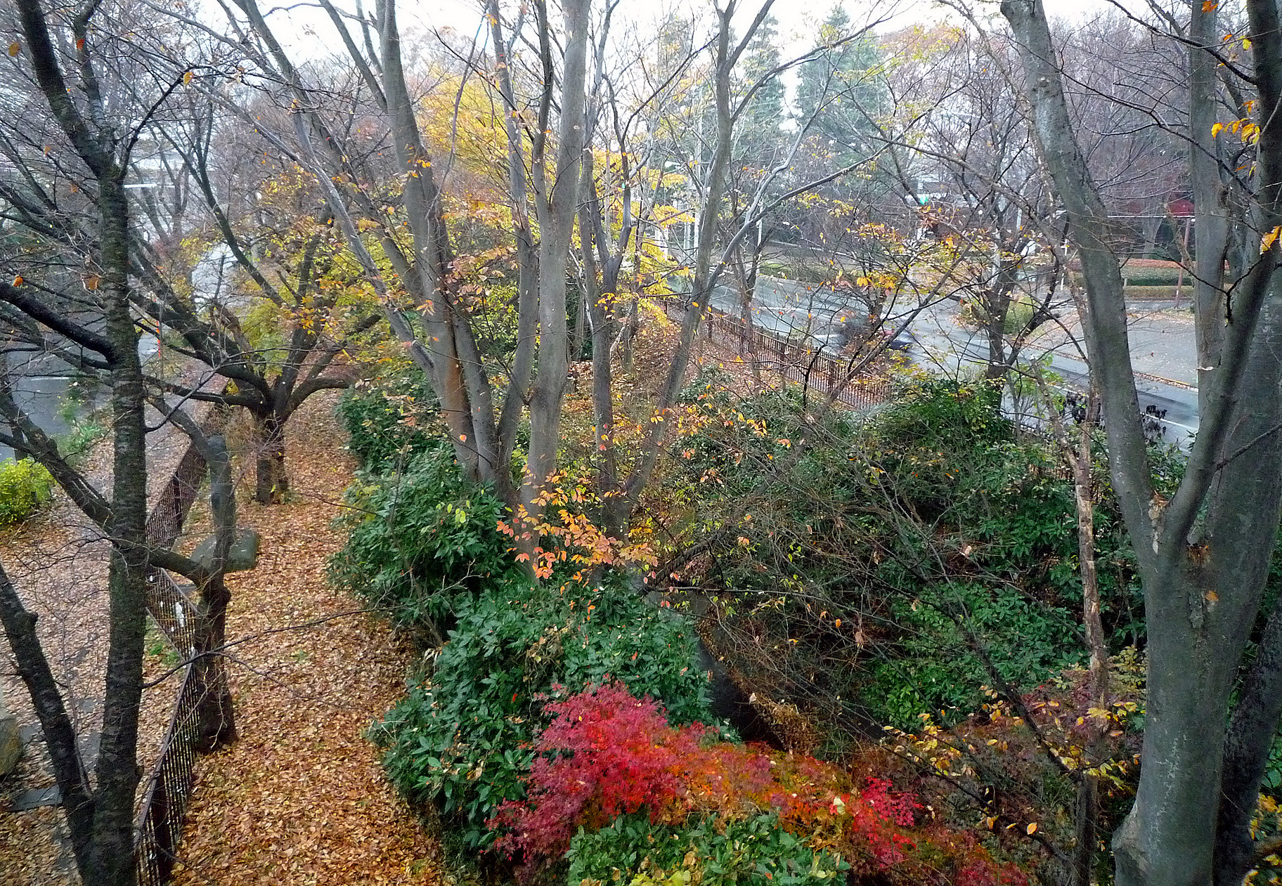
In the 1730s, cherry trees were planted along the aqueduct's earthen banks. The blossoms were not merely decorative -- the leaves and petals were believed to possess antitoxic properties that helped purify the water flowing beneath them. The stretch near Koganei became one of Edo's most celebrated hanami destinations, drawing crowds who walked the towpath beneath cascading pink and white blossoms with Mount Fuji visible in the distance. Utagawa Hiroshige immortalized this scene in his woodblock print series "One Hundred Famous Views of Edo," capturing the evening glow over rows of cherry trees reflected in the still water. Today, Koganei Park preserves roughly 1,400 cherry trees of about 50 varieties, and the old towpath has become a greenway popular with walkers and runners threading through western Tokyo's suburban neighborhoods.
A Living Artery
Unlike most Edo-period infrastructure, the Tamagawa Aqueduct never fully retired. The upstream section from Hamura to near Kodaira continues to function as a raw-water intake route for Tokyo's modern waterworks system. Walk the tree-lined dirt path that traces the canal's course and you follow the same line of falling water that Shoemon and Seiemon surveyed nearly four centuries ago. The channel passes through Hamura, Tachikawa, Koganei, and Setagaya, cutting a green corridor through one of the world's densest metropolitan areas. Near Daitabashi Station, the aqueduct slips quietly between apartment blocks, easy to miss if you are not looking for it. The Tamagawa Aqueduct endures as a reminder that great engineering need not be monumental in scale -- sometimes it is simply the patient work of understanding how water wants to move, and letting it.
From the Air
Located at 35.75N, 139.32E near Hamura, western Tokyo. The aqueduct runs 43 km east-southeast from Hamura to Yotsuya in central Tokyo, following a subtle line through the Musashino Plateau visible as a tree-lined green corridor from lower altitudes. Nearest airports: RJTT (Tokyo Haneda, 40 km southeast), RJAA (Narita, 80 km east). Yokota Air Base (RJTY) lies just 8 km to the south. Best viewed at 2,000-3,000 ft where the linear tree canopy traces the waterway through suburban development.