Tangier, Virginia
Listen closely to the voices on Tangier Island and you might think you have crossed an ocean rather than the Chesapeake Bay. The 436 residents of this speck of sand and marsh speak a dialect so distinctive that the BBC flew a crew across the Atlantic to document it. Linguist David Shores traced the accent not to any single British county, as popular legend insists, but to centuries of isolation that let an old Virginia coastal English evolve on its own terms. That isolation is now the island's defining paradox: the same water that preserved Tangier's culture is steadily swallowing the island whole.
A Staging Ground for Empire
John Smith visited these low-lying marshes in 1608 and called the surrounding area the "Russel Isles," but found no permanent inhabitants. Native Americans had used Tangier as a seasonal hunting and fishing ground, leaving behind artifacts and a large oyster midden. The first patent went to tavern owner Ambrose White in 1670, and the island served as pastureland until John Crockett arrived in the late 18th century as its first permanent Anglo-American settler. His surname dominates the island to this day. By 1813, the British recognized Tangier's strategic value. Rear Admiral George Cockburn garrisoned up to 1,200 troops on the island and built Fort Albion, turning a watermen's haven into a military staging ground. People who had escaped slavery found freedom here and some joined the Corps of Colonial Marines. From Tangier, the British launched the campaign that burned Washington, D.C. in August 1814, and the failed bombardment of Fort McHenry in Baltimore that inspired Francis Scott Key to write what became "The Star-Spangled Banner."
Three Ridges, One Community
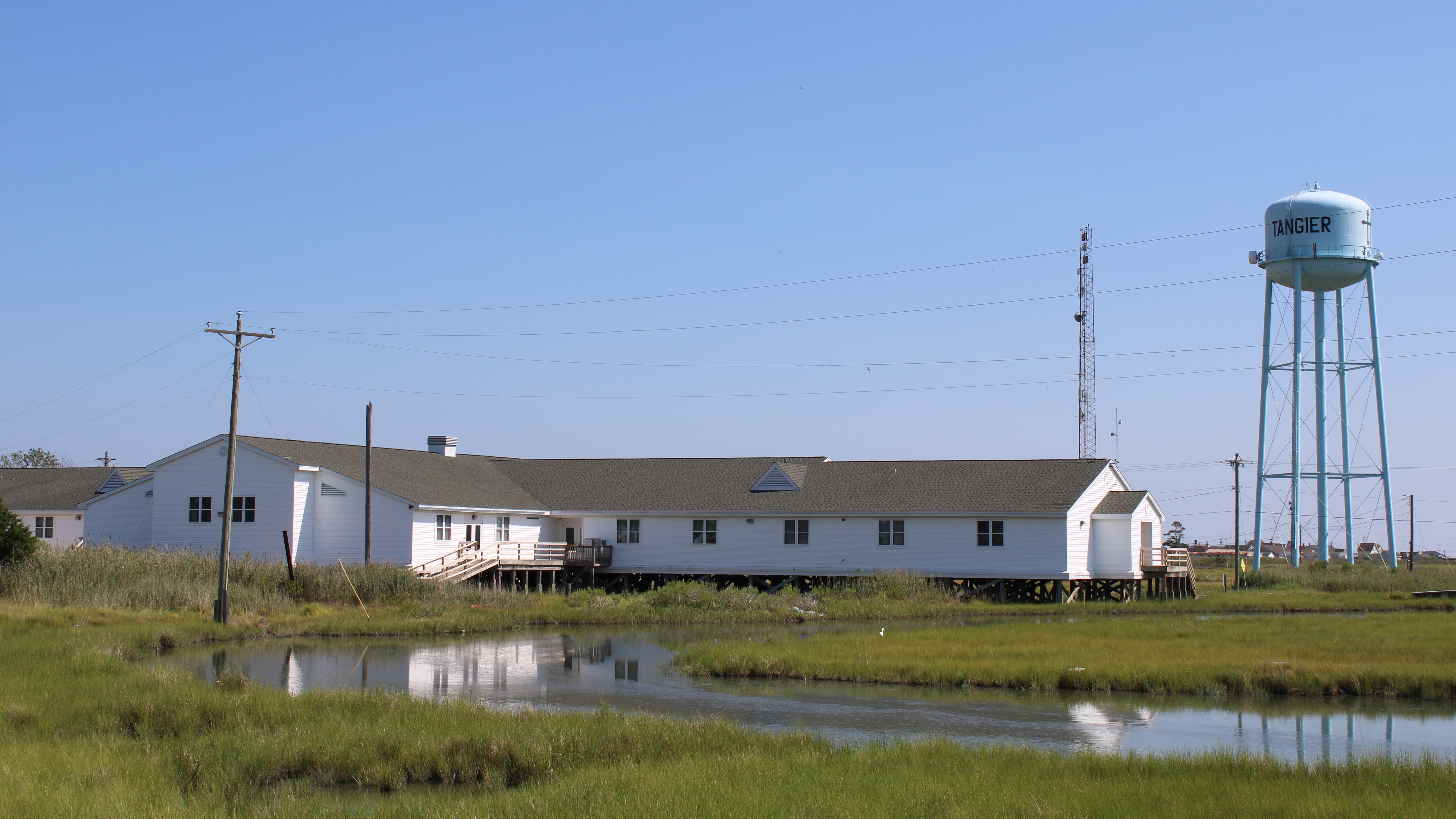
From the air, Tangier looks like three fingers of sand reaching north into gray-blue water, separated by tidal creeks and salt marsh. West Ridge, Main Ridge, and Canton Ridge run parallel, connected by narrow bridges. Main Ridge holds the post office, the school, and the restaurants. West Ridge is home to Tangier Island Airport, a grass strip open dawn to dusk. Canton Ridge, once the largest settlement with 30 families, now shelters just a handful. There are no traffic lights. Roads are wide enough for two golf carts to pass, and that is exactly how most people get around. Mail arrives by boat from Crisfield, Maryland, aboard the Courtney Thomas. Summer tourists ride the Steven Thomas or the Chesapeake Breeze from the mainland, stepping off the pier into a place where burials sometimes happen in front yards because the cemeteries ran out of room long ago.
The Soft-Shell Capital
Tangier calls itself the "soft-shell crab capital of the world," and the claim is hard to dispute. Nearly every working resident is a waterman, rising before dawn to tend crab pots and oyster beds in the Chesapeake. North of the island, free-standing docks float unconnected to any land, holding crabs while they moult into the soft-shell delicacy that restaurants from Baltimore to New York pay premium prices for. Oystering, once the island's dominant trade, declined through the 20th century but has seen a modest revival. In 2014, the Tangier Island Oyster Company launched a new aquaculture venture. Tourism rounds out the economy: a few bed-and-breakfasts, gift shops, a history museum, and the soft-shell crab sandwiches that draw visitors back year after year.
Faith, Temperance, and a Movie Turned Away
Methodism arrived on Tangier in the early 1800s through the revival meetings of Joshua Thomas, the celebrated "parson of the islands." The faith took hold so deeply that islanders sided with the Northern Methodist Church, refused to support slavery, and stayed loyal to the Union during the Civil War despite living in Virginia. Swain Memorial Methodist Church, established in 1835, still stands as the island's oldest surviving house of worship. A local ordinance keeps Tangier dry, prohibiting the sale of alcohol. In 1999, the town council went further, blocking Warner Brothers from filming the Kevin Costner movie Message in a Bottle on the island because the script contained drinking, profanity, and sex. The island also gave its name to medicine: Tangier disease, a rare genetic disorder causing high cholesterol, was first identified in two island residents.
Racing the Tide
Since 1850, Tangier has lost 67 percent of its landmass. A 2015 Army Corps of Engineers study concluded the island has 25 to 50 years of habitability remaining. The causes are layered: post-glacial sea level rise from the melting of the Laurentide ice sheet, groundwater extraction on mainland Virginia, and the lingering effects of the Chesapeake Bay impact crater that struck 35.5 million years ago near Cape Charles. Under mid-range projections, two of the three ridges will become wetland in the 2030s, with the third following by 2051. Hurricanes Isabel, Ernesto, and Sandy flooded much of the island in the 21st century's first decade, forcing some families to abandon or elevate their homes. The town has lobbied for jetties and sea walls for decades. In February 1936, the Army Air Corps had to airdrop supplies to the island when ice sealed the Bay. Today the threat is not ice but rising water, and the clock is running.
From the Air
Tangier Island sits at 37.83N, 75.99W in the central Chesapeake Bay. The island is visible from altitude as three narrow sandy ridges separated by marsh and tidal creeks. Tangier Island Airport (KTGI) has a turf runway, open dawn to dusk, at an elevation of 5 feet MSL. Approach from the east over the Bay for the best view of the island's fragile geography. Nearby airports include Crisfield-Somerset County Airport (W41) in Maryland and Accomack County Airport (MFV) on the Eastern Shore. Watch for sea fog and low ceilings common over the Chesapeake, especially in spring and fall.