Tankwa Karoo National Park
The Tankwa Karoo National Park was proclaimed in 1986, but when Conrad Strauss sold his sheep farm to South African National Parks in 1998, the conservation estate took a decisive step forward. Two hundred and eighty square kilometers of overgrazed veld, hemmed between the Cederberg to the west and the Roggeveld Mountains to the east, in a place where some areas receive less than 100 millimeters of rain per year. It was not, on paper, the most promising land for a national park. But what the South African National Parks organization saw in that parched landscape was something the sheep had obscured: one of the most biologically distinctive ecosystems on the planet, a Succulent Karoo habitat declared a global biodiversity hotspot by Conservation International, and almost entirely unprotected before the park's establishment.
The Driest Corner
The Tankwa Karoo National Park occupies what is arguably the most punishing terrain in South Africa. Bounded by the Cederberg mountains to the west, the Roggeveld to the east, the Kouebokkeveld Mountains to the north, and the scattered foothills of the Koedoesberge and Klein Roggeveld to the south, the park sits in a rain shadow so severe that moisture-bearing clouds from the Atlantic are almost entirely blocked before they arrive. At the Roodewerf station, the park headquarters, mean annual rainfall reaches just 180 millimeters. In the hottest areas, January temperatures average a mean maximum of 38.9 degrees Celsius. Winter nights drop to 5 to 7 degrees. The nearest towns -- Ceres at 180 kilometers, Sutherland at 120, Calvinia at 110, and the closest, Middelpos, at 52 -- underscore the park's remoteness. This is not a place you stumble upon.
Life in Sparse Ground
Before the park's establishment, the only protected Succulent Karoo habitat in the region was a two-square-kilometer patch at the Gamkaberg Nature Reserve. The Succulent Karoo biome, together with the Cape Floral Kingdom, has been recognized as a biodiversity hotspot -- one of only two arid regions on Earth to receive that designation. The vegetation within the park is classified as very sparse shrubland and dwarf shrubland, a description that fails to capture its strangeness. Several succulent genera found here occur nowhere else: Tanquana, Braunsia, and Didymaotus are plants shaped by extreme aridity into forms that seem more sculptural than botanical. They store water in swollen leaves and stems, their surfaces often waxy or hairy to reduce evaporation, each plant a small engineering solution to the problem of surviving where rain is an event rather than a season.
Wings Over the Tankwa
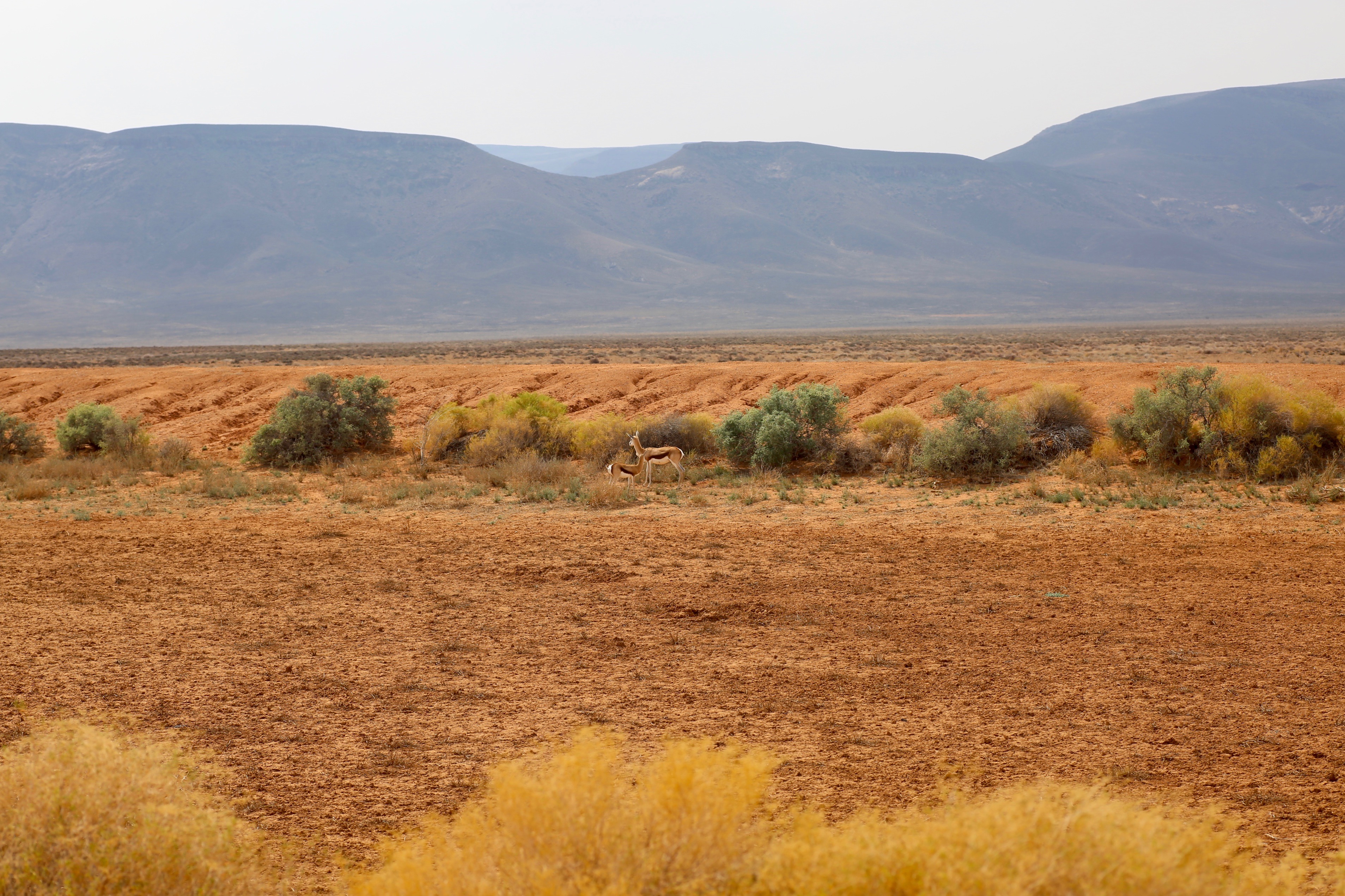
For a landscape that appears empty from a distance, the Tankwa Karoo supports a remarkable assembly of birdlife. A 2015 survey documented 188 species within the park's boundaries, a number that has likely grown since. Ludwig's bustard stalks the open ground, a large, shy bird increasingly rare across its range. Black-eared sparrow-larks and Karoo long-billed larks are specialists of this terrain, while raptors including Verreaux's eagles, martial eagles, and lanner falcons hunt from above. Peak birding season runs from August to October, when spring rains -- such as they are -- trigger flowering in the succulents and bring an influx of migrants. Secretarybirds stride through the scrub on their improbably long legs, and Namaqua sandgrouse arrive at water points in flocks, each bird carrying moisture back to its chicks in specially adapted breast feathers.
Reclaiming the Veld
Since its founding, the Tankwa Karoo has grown from the original 270 square kilometers to 1,463 square kilometers, a fivefold expansion that reflects both its ecological importance and the practical reality that conservation in the Succulent Karoo requires vast areas -- the plants grow slowly, the ecosystems recover gradually, and the animals need enormous ranges. The park has begun reintroducing game species that once occurred naturally here but were eliminated by farming, conducting research beforehand to ensure the overgrazed veld could support them. The landscape is healing, though on a timeline measured in decades rather than years. What the park preserves is not a pristine wilderness but a recovering one, and that recovery itself is part of the story -- evidence that even the harshest environments retain the capacity to restore themselves when given the chance.
From the Air
Coordinates: 32.25S, 19.75E. The Tankwa Karoo is a vast, flat, and extremely arid basin visible as brown and ochre terrain between the Cederberg range (west) and the Roggeveld escarpment (east). The park is remote with no nearby paved runways. Nearest airports: Ceres area strips, Sutherland. Altitude recommendation: 8,000-12,000 ft AGL. The terrain appears nearly featureless from high altitude; lower passes reveal the subtle vegetation and dry river courses. Expect extreme thermals in summer. Limited emergency landing options.